
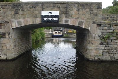
Horbury Basin, lock in Wakefield, West Yorkshire, UK
Ort: Wakefield
Gründung: 1838
GPS Koordinaten: 53.65814,-1.57974
Neueste Aktualisierung: 4. März 2025 um 03:00
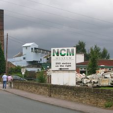
National Coal Mining Museum for England
3.2 km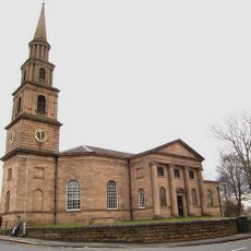
St Peter and St Leonard's Church, Horbury
1.7 km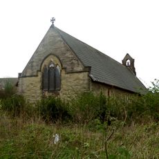
Church of St John the Divine, Calder Grove
3.1 km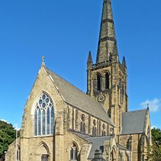
Church of the Holy Trinity
3.1 km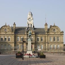
Ossett Town Hall
2.4 km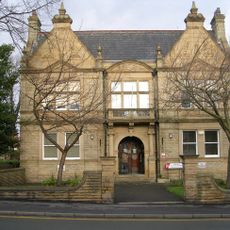
Horbury Town Hall
1.3 km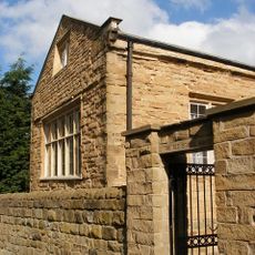
Thornhill Grammar School
2.8 km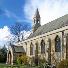
Church of St Mary Virgin
2.4 km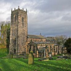
Church of St Michael and All Angels, Thornhill
2.7 km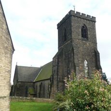
Christ Church
1.4 km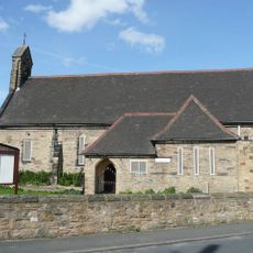
Church of St Andrew
1.1 km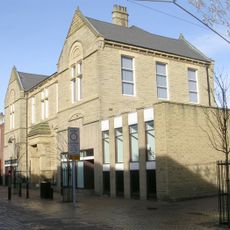
Ossett Library
2.3 km
Savoy Cinema
1.4 km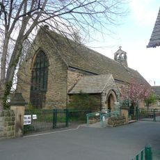
St John
275 m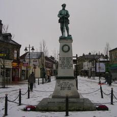
Ossett War Memorial
2.4 km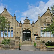
Horbury Library
1.4 km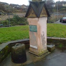
Memorial Stone And Base Of Market Cross Opposite Junction With Combs Road
3.1 km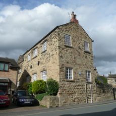
Works To South Of Number 33
1.6 km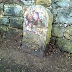
Calder And Hebble Navigation Milestone At Bridge Over Cut 200 Yards South East Of Lodge Farm
2.6 km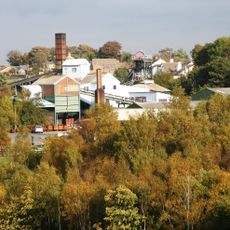
Winding House, Heapstead and Headstock at Caphouse Colliery
3 km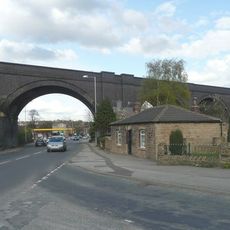
Horbury Viaduct
231 m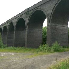
Crigglestone Viaduct
2.5 km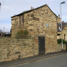
Former Lock Up Approximately 5 Metres South East Of Number 33
1.6 km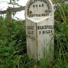
Milepost Approximately 1000 Metres North East Of West Bretton Traffic Island
3.3 km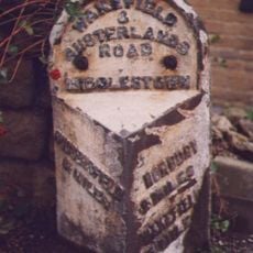
Milepost Adjacent To White Swan Public House
1.4 km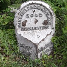
Milestone Approximately 10 Metres North Of Junction With Branch Road
3 km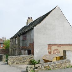
Horbury Hall
1.7 km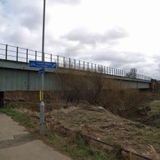
River Calder Bridge
2.7 kmDiesen Ort besucht? Tippe auf die Sterne, um ihn zu bewerten und deine Erfahrung oder Fotos mit der Community zu teilen! Jetzt ausprobieren! Sie können jederzeit kündigen.
Entdecke verborgene Schätze auf jedem Abenteuer!
Von charmanten kleinen Cafés bis zu versteckten Aussichtspunkten – entfliehe dem Touristentrubel und finde Orte, die wirklich zu dir passen. Unsere App macht's dir leicht: Sprachsuche, clevere Filter, optimierte Routen und echte Geheimtipps von Reisenden weltweit. Jetzt runterladen und das Abenteuer mobil erleben!

Ein neuer Ansatz für touristische Entdeckungen❞
— Le Figaro
Alle Orte, die eine Entdeckung wert sind❞
— France Info
Ein maßgeschneiderter Ausflug mit nur wenigen Klicks❞
— 20 Minutes