
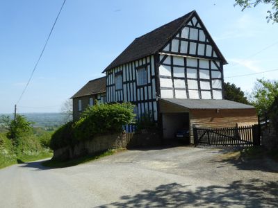
Green Farmhouse, farmhouse in Richards Castle (Hereford), County of Herefordshire, UK
Ort: Richards Castle
GPS Koordinaten: 52.32748,-2.75594
Neueste Aktualisierung: 6. März 2025 um 03:02
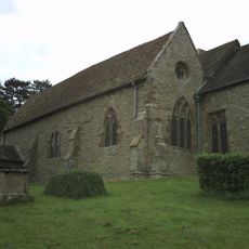
St Bartholomew's Church
168 m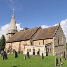
Church of St George
3.1 km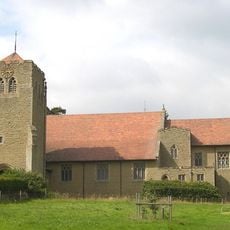
Church of All Saints
967 m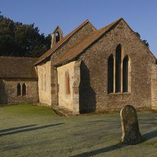
Church of St Giles
2.9 km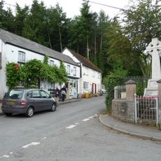
Orleton War Memorial
3.2 km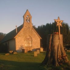
Church of St Mary
2.9 km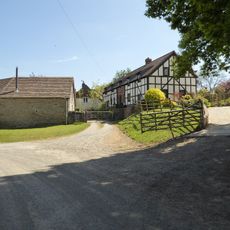
Church House
199 m
The Boot Inn
3.1 km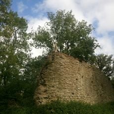
Richard's Castle
127 m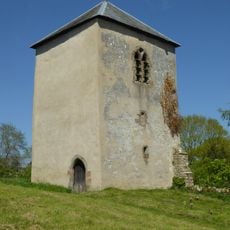
Tower about 10 metres east of Church of St Bartholomew
141 m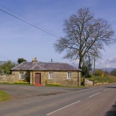
House At The Entrance To The Lodge
2.9 km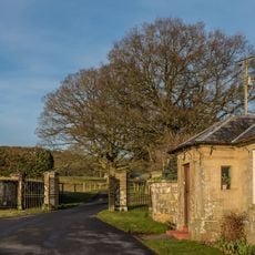
Gates And Piers And Walls To South West Of House At Entrance To The Lodge
2.9 km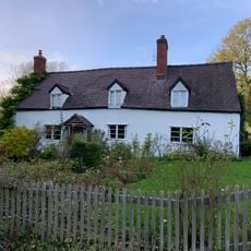
Burnside
3.1 km
Outbuilding About 10 Metres North Of The Boot Inn
3.1 km
Overton
2.4 km
Gates and piers to north of lodge to Moor Park
2.3 km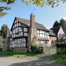
Deacons Cottage Ye Old House
3.1 km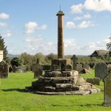
Churchyard cross in St George's churchyard
3.2 km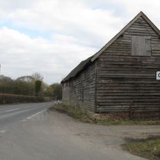
Barn About 10 Metres North Of Comberton Farmhouse
2.7 km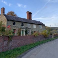
The Farmhouse
3 km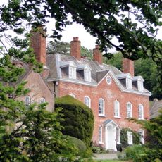
Elton Hall
2.9 km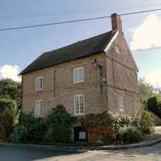
Brick House
3.2 km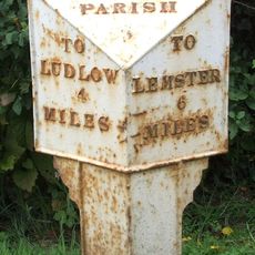
Milepost, Bilbury Cottage , opp. sewage pumping station
1.5 km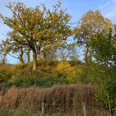
Aston Tump
2.9 km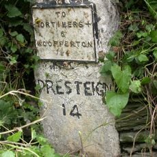
Milestone, Comberton; 30m E jcn Orleton turn
2.7 km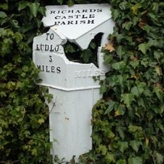
Milepost, Rose House
966 m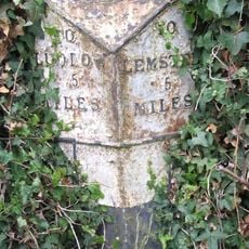
Milepost, Portway Farm and camping, NW of village
2.6 km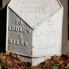
Milepost, Overton
2.4 kmDiesen Ort besucht? Tippe auf die Sterne, um ihn zu bewerten und deine Erfahrung oder Fotos mit der Community zu teilen! Jetzt ausprobieren! Sie können jederzeit kündigen.
Entdecke verborgene Schätze auf jedem Abenteuer!
Von charmanten kleinen Cafés bis zu versteckten Aussichtspunkten – entfliehe dem Touristentrubel und finde Orte, die wirklich zu dir passen. Unsere App macht's dir leicht: Sprachsuche, clevere Filter, optimierte Routen und echte Geheimtipps von Reisenden weltweit. Jetzt runterladen und das Abenteuer mobil erleben!

Ein neuer Ansatz für touristische Entdeckungen❞
— Le Figaro
Alle Orte, die eine Entdeckung wert sind❞
— France Info
Ein maßgeschneiderter Ausflug mit nur wenigen Klicks❞
— 20 Minutes