
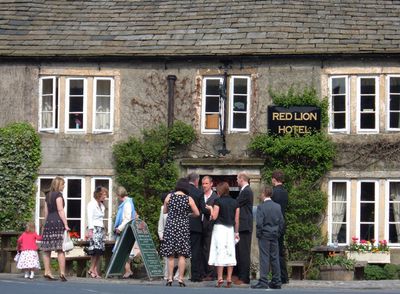
Red Lion Hotel, Hotel im Vereinigten Königreich
Ort: Burnsall
GPS Koordinaten: 54.04681,-1.95209
Neueste Aktualisierung: 24. September 2025 um 14:46
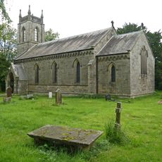
Church of St Peter
1.9 km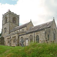
Church of St Wilfred
312 m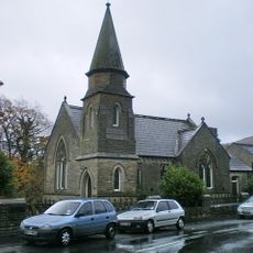
Methodist Chapel
123 m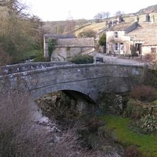
Old Bridge
2.1 km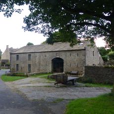
Manor House Barn and approach bridge
2 km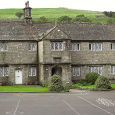
The Old Grammar School
280 m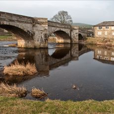
Burnsall Bridge
68 m
Holly Tree Farmhouse
2 km
Stonycroft
2.1 km
Outbuilding opposite Manor House
2 km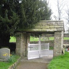
Lych Gate Approximately 30 Metres To West Of Church Of St Wilfred
279 m
Barn and byre to east of Hardcastle House
2 km
Hardcastle House
2 km
Bull house opposite Kail Farmhouse
2 km
Sunnyside and Sunnybank
2 km
Barn and bothy range to S of Hardy Grange Farmhouse
2.1 km
Barn approximately 10 metres south of Holly Tree Farmhouse
2 km
Blackburn House
2.1 km
Culvert mouth, lining walls, bridge and sheepwash west of Manor House Barn
2 km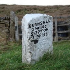
Mile Post At Junction Of B 6265 And Hartlington Raikes Road
2.2 km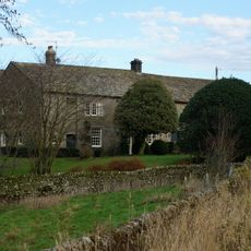
Holes Beck Farmhouse And Attached Barn
2 km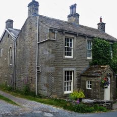
Glaholm
2.4 km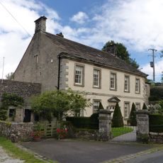
Manor house with wall and gate piers
2 km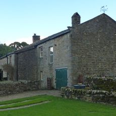
Kail Farmhouse
2 km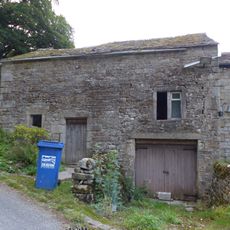
Outbuilding to west end of Hardcastle House
2 km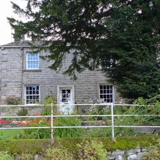
Hardy Grange Farmhouse
2.1 km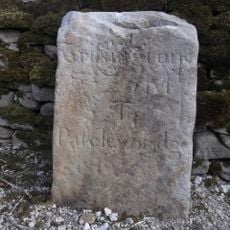
Milestone, Tinker Lane, Hebden on pre turnpike route
2.2 km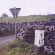
Guidestone, Kail Lane, by drystone wall
1.7 kmDiesen Ort besucht? Tippe auf die Sterne, um ihn zu bewerten und deine Erfahrung oder Fotos mit der Community zu teilen! Jetzt ausprobieren! Sie können jederzeit kündigen.
Entdecke verborgene Schätze auf jedem Abenteuer!
Von charmanten kleinen Cafés bis zu versteckten Aussichtspunkten – entfliehe dem Touristentrubel und finde Orte, die wirklich zu dir passen. Unsere App macht's dir leicht: Sprachsuche, clevere Filter, optimierte Routen und echte Geheimtipps von Reisenden weltweit. Jetzt runterladen und das Abenteuer mobil erleben!

Ein neuer Ansatz für touristische Entdeckungen❞
— Le Figaro
Alle Orte, die eine Entdeckung wert sind❞
— France Info
Ein maßgeschneiderter Ausflug mit nur wenigen Klicks❞
— 20 Minutes