
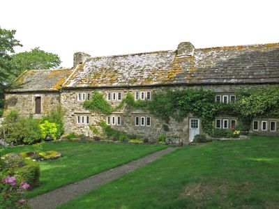
Westernhope Burn East Farmhouse, agricultural structure in Stanhope, County Durham, UK
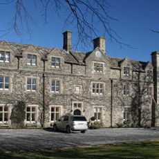
Horsley Hall
3 km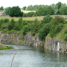
Greenfoot Quarry
4.9 km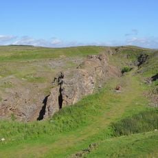
West Rigg Open Cutting
2.7 km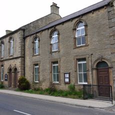
Westgate Methodist Chapel
3 km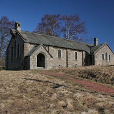
Church of St John the Evangelist
4.5 km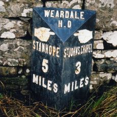
Milepost About 120 Metres East Of Park House Farmhouse
948 m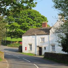
Former Inn
4.5 km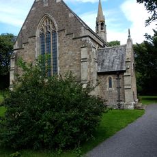
All Saints
2 km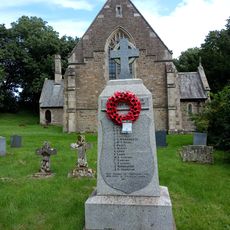
Eastgate War Memorial
2 km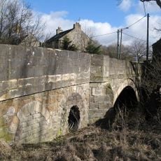
Bridge Over Rookhope Burn
1.9 km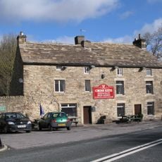
The Cross Keys Public House
1.9 km
High Crooked Well
3.4 km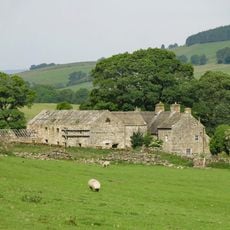
Ludwell Farmhouse
823 m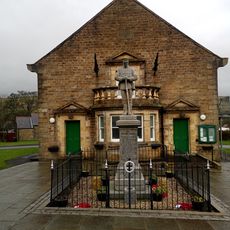
St John's Chapel, War Memorial
5 km
Barn Range South Of Ludwell Farmhouse
818 m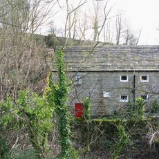
Eastgate Mill
2 km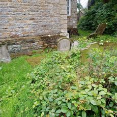
Hackword Tomb About 2 Metres East Of East End Of Church Of St John
5 km
Former House And Byre, With Loose Boxes, South Of Ludwell Farmhouse Barn
816 m
Scarsike Head Guide Post On North Side Of Road Junction One Metre West Of Wall
4.3 km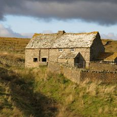
High Smailsburn Farmhouse
3.7 km
Haswick's Bridge Over River Wear
2.6 km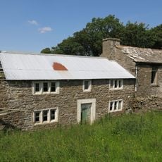
Former Farmhouse To West Of Snowhope Close Farmhouse
2.4 km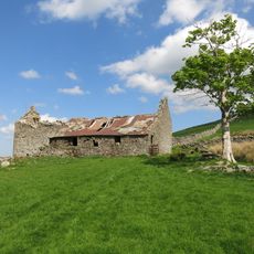
New Close Farmhouse With Stable, Byre And Lofts
3.1 km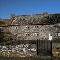
Westernhopeburn West Farmhouse and adjoining outbuilding
45 m
Emerson Tomb About 15 Metres East Of Church Of St John, Near South Wall Of Churchyard
5 km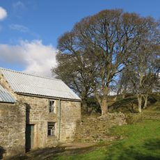
Farmhouse On North Bank Of Stotfield Burn, With Attached Outbuilding
4.6 km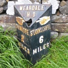
Hare Law
4 km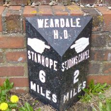
Westgate, Front Street nr jct with St Andrews Place, E end village
2.6 kmDiesen Ort besucht? Tippe auf die Sterne, um ihn zu bewerten und deine Erfahrung oder Fotos mit der Community zu teilen! Jetzt ausprobieren! Sie können jederzeit kündigen.
Entdecke verborgene Schätze auf jedem Abenteuer!
Von charmanten kleinen Cafés bis zu versteckten Aussichtspunkten – entfliehe dem Touristentrubel und finde Orte, die wirklich zu dir passen. Unsere App macht's dir leicht: Sprachsuche, clevere Filter, optimierte Routen und echte Geheimtipps von Reisenden weltweit. Jetzt runterladen und das Abenteuer mobil erleben!

Ein neuer Ansatz für touristische Entdeckungen❞
— Le Figaro
Alle Orte, die eine Entdeckung wert sind❞
— France Info
Ein maßgeschneiderter Ausflug mit nur wenigen Klicks❞
— 20 Minutes