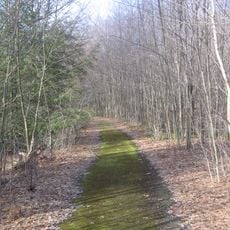
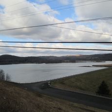
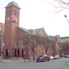
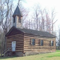
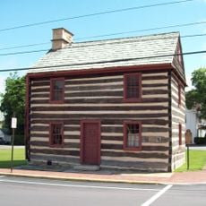
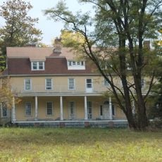
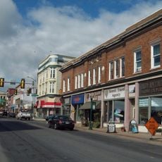
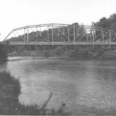
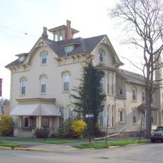
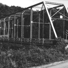
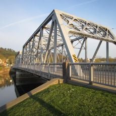
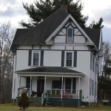
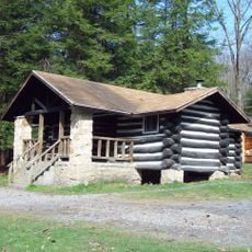
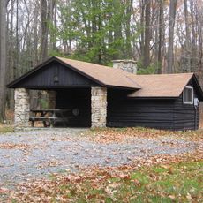
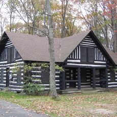
Lawrence Township, Township im Clearfield County im US-Bundesstaat Pennsylvania
Ort: Clearfield County
Gründung: 1797
GPS Koordinaten: 41.18333,-78.45806
Neueste Aktualisierung: 10. März 2025 um 03:57
Quehanna Wild Area
19.7 km
Parker Dam State Park
4.7 km
Bilger's Rocks
24 km
Moshannon State Forest
10.2 km
Elk State Forest
21.8 km
Rowland Theater
37.5 km
Marion Brooks Natural Area
17.6 km
Wykoff Run Natural Area
22.7 km
Curwensville Lake
26.2 km
Clearfield County Courthouse
18 km
St. Severin's Old Log Church
33.7 km
Philipsburg Historic District
37.5 km
Hardman Philips House
38 km
Old Town Historic District
18 km
DuBois Historic District
26.5 km
Hogback Bridge
23.5 km
Thomas Murray House
18.3 km
Bridge in Greenwood Township
34.3 km
S. B. Elliott State Park
10.4 km
Market Street Bridge
18 km
Redferd Segers House
26.9 km
Parker Dam State Park Family Cabin District
5.1 km
S. B. Elliott State Park Family Cabin District
9.6 km
S. B. Elliott State Park Day Use District
9.7 km
Laurel Mountain Winery
29.3 km
Clearfield Presbyterian Church
17.8 km
Black Moshannon State Park Maintenance District
43.5 km
Parker Dam State Park-Parker Dam District
4.5 kmDiesen Ort besucht? Tippe auf die Sterne, um ihn zu bewerten und deine Erfahrung oder Fotos mit der Community zu teilen! Jetzt ausprobieren! Sie können jederzeit kündigen.
Entdecke verborgene Schätze auf jedem Abenteuer!
Von charmanten kleinen Cafés bis zu versteckten Aussichtspunkten – entfliehe dem Touristentrubel und finde Orte, die wirklich zu dir passen. Unsere App macht's dir leicht: Sprachsuche, clevere Filter, optimierte Routen und echte Geheimtipps von Reisenden weltweit. Jetzt runterladen und das Abenteuer mobil erleben!
Ein neuer Ansatz für touristische Entdeckungen❞
— Le Figaro
Alle Orte, die eine Entdeckung wert sind❞
— France Info
Ein maßgeschneiderter Ausflug mit nur wenigen Klicks❞
— 20 Minutes