
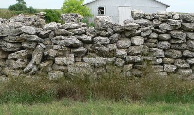
Texas Trail Stone Corral
Texas Trail Stone Corral, place in Nebraska listed on National Register of Historic Places
Ort: Chase County
GPS Koordinaten: 40.59261,-101.62722
Neueste Aktualisierung: 23. September 2025 um 15:47

Lake McConaughy
70.8 km
Ash Hollow State Historical Park
88.8 km
O'Fallons Bluff
75.3 km
Wallace W. Waterman Sod House
76.3 km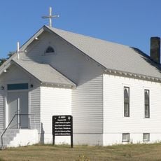
St. John's Evangelical Lutheran German Church and Cemetery
66.6 km
Sedgwick County Courthouse
69.4 km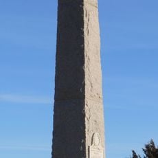
Massacre Canyon Monument
70.7 km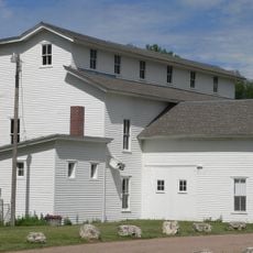
Champion Mill
17.2 km
Grant City Park
29.5 km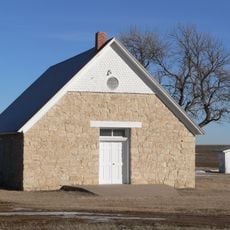
St. Paul's Methodist Protestant Church
87 km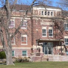
Dundy County Courthouse
60.9 km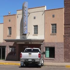
Cliff Theater
76.4 km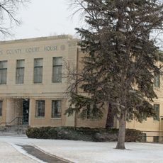
Phillips County Courthouse
57 km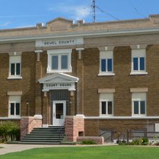
Deuel County Courthouse
90.3 km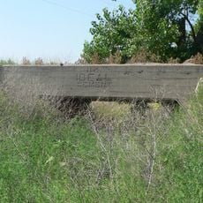
Brücke (Stratton, Nebraska)
61.4 km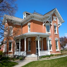
Leonidas A. Brandhoefer Mansion
60.7 km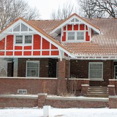
W. E. Heginbotham House
57.1 km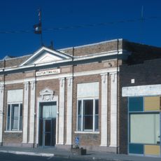
First National Bank of Haxtun
84.7 km
Grant Commercial Historic District
28.9 km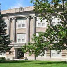
Perkins County Courthouse
28.9 km
Dr. Burdette and Myrna Gainsforth House
61.1 km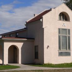
Johnston Memorial Building
47.8 km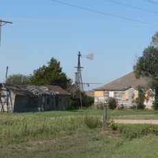
Pinkie's Corner
17.3 km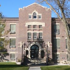
Chase County Courthouse
8.1 km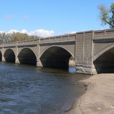
Sutherland State Aid Bridge
86.9 km
Millage Farm Rural Historic District
57.6 km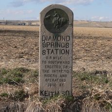
Diamond Springs Stage Station Site
59.1 km
Highland Precinct
70.7 kmDiesen Ort besucht? Tippe auf die Sterne, um ihn zu bewerten und deine Erfahrung oder Fotos mit der Community zu teilen! Jetzt ausprobieren! Sie können jederzeit kündigen.
Entdecke verborgene Schätze auf jedem Abenteuer!
Von charmanten kleinen Cafés bis zu versteckten Aussichtspunkten – entfliehe dem Touristentrubel und finde Orte, die wirklich zu dir passen. Unsere App macht's dir leicht: Sprachsuche, clevere Filter, optimierte Routen und echte Geheimtipps von Reisenden weltweit. Jetzt runterladen und das Abenteuer mobil erleben!

Ein neuer Ansatz für touristische Entdeckungen❞
— Le Figaro
Alle Orte, die eine Entdeckung wert sind❞
— France Info
Ein maßgeschneiderter Ausflug mit nur wenigen Klicks❞
— 20 Minutes