
Whorlton, village and civil parish in County Durham, England, UK
Ort: County Durham
GPS Koordinaten: 54.53018,-1.83849
Neueste Aktualisierung: 10. März 2025 um 00:05
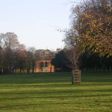
Rokeby Park
2.5 km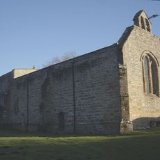
Church of St Mary
1.3 km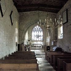
Roman Catholic Church of St Mary
2.5 km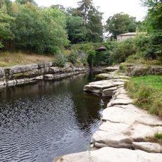
Dairy Bridge Over The River Greta
2.2 km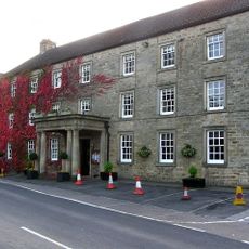
The Morritt Arms Hotel
2.7 km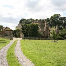
Mortham Tower
2.1 km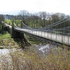
Whorlton Bridge
447 m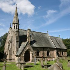
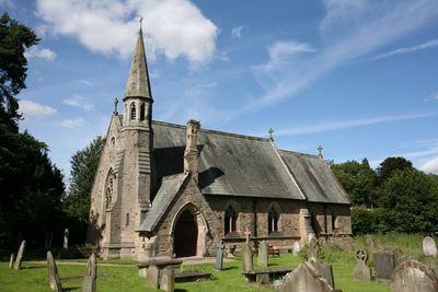
St Mary's Church, Whorlton
291 m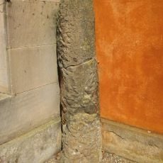
Roman Milestone Against West Wall Of Rokeby Park
2.4 km
Westholme Hall
4.4 km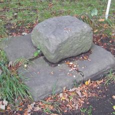
Base Stone Of Cross
3.9 km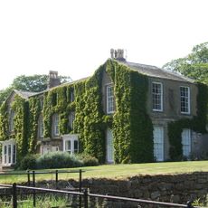
Newsham Hall
3.4 km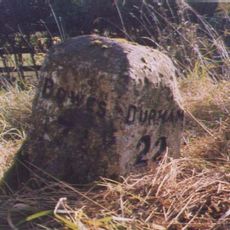
Milestone Approximately 150 Metres West Of Streatlam Castle South Lodges
4.3 km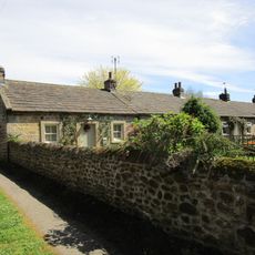
1-7, Grange Terrace
44 m
Greta Bridge Roman fort, vicus and section of Roman road
2.6 km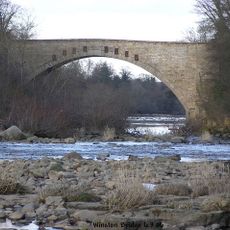
Winston Bridge
3.9 km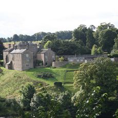
Wycliffe Hall
1.6 km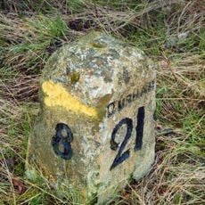
Milestone, 600 Metres North-East Of High Barford Farmhouse
3.9 km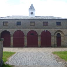
Stable Block 180 Metres South West Of Rokeby Park
2.6 km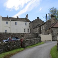
Wycliffe Old Rectory
1.3 km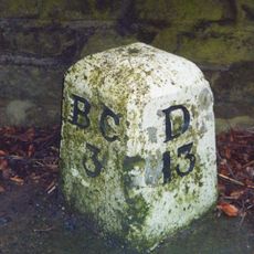
Milestone, 50 Metres North Of Arlaw Banks
2 km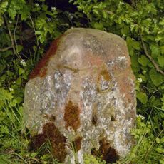
Milestone, 300 Metres East Of Junction With Mount Eff Road
3.3 km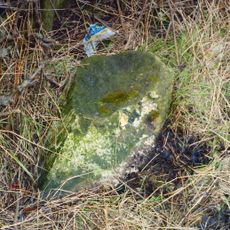
Milestone, 40 Metres West Of West Whorley Hill Farmhouse
1.6 km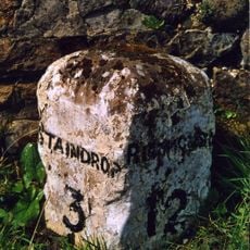
Milestone, 120 Metres South Of Junction With A67
3.8 km
Farmbuildings To East Of Mortham Tower And Attached Walls
2 km
Greta Bridge
2.7 km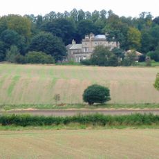
Stubb House
1.8 km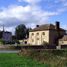
Thorpe Farmhouse and adjacent outbuildings
2.6 kmBewertungen
Diesen Ort besucht? Tippe auf die Sterne, um ihn zu bewerten und deine Erfahrung oder Fotos mit der Community zu teilen! Jetzt ausprobieren! Sie können jederzeit kündigen.
Entdecke verborgene Schätze auf jedem Abenteuer!
Von charmanten kleinen Cafés bis zu versteckten Aussichtspunkten – entfliehe dem Touristentrubel und finde Orte, die wirklich zu dir passen. Unsere App macht's dir leicht: Sprachsuche, clevere Filter, optimierte Routen und echte Geheimtipps von Reisenden weltweit. Jetzt runterladen und das Abenteuer mobil erleben!

Ein neuer Ansatz für touristische Entdeckungen❞
— Le Figaro
Alle Orte, die eine Entdeckung wert sind❞
— France Info
Ein maßgeschneiderter Ausflug mit nur wenigen Klicks❞
— 20 Minutes