
Upton, Gemeinde in der englischen Grafschaft Oxfordshire
Ort: Vale of White Horse
Grenzt an: Chilton, Blewbury, West Hagbourne
Website: http://uptonvillage.co.uk
GPS Koordinaten: 51.57800,-1.26100
Neueste Aktualisierung: 7. März 2025 um 02:20
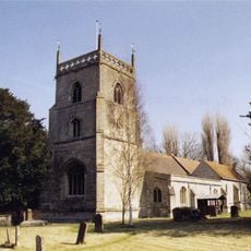
Church of St Michael
2.1 km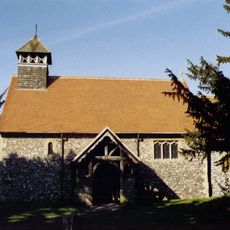
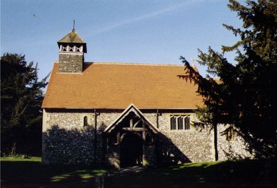
Church of St Mary
248 m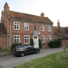
Malthus Schoolhouse
2.1 km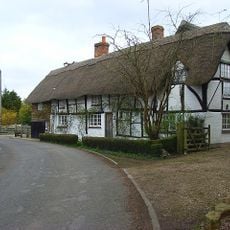
Dragonwyke And Winding Way Cottage
2.3 km
Turnpike House
2.3 km
Thatch Cottage
946 m
Corrydon House
2.1 km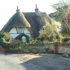
Cottage approximately 35 metres south west of Blissets
848 m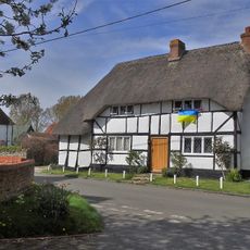
York Farm Cottage
1 km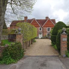
Upton Manor House
286 m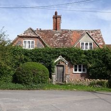
Ivy Farmhouse
848 m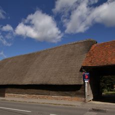
Great Tree Farm Barn And Attached Covered Gateway
2.1 km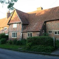
Great Tree and Ilburys
2.1 km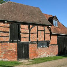
Barn And Granary Approximately 20 Metres West Of Owlscote Manor Farmhouse
206 m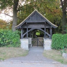
Blewbury Cemetery WWI Memorial Lychgate
1.8 km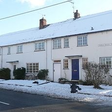
3, Treble House Terrace
2.2 km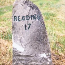
Milestone At Su 5041 8770
1.3 km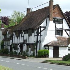
Double Doors
2 km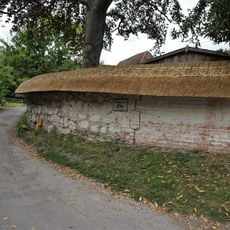
Clunch Wall approximately 35 metres East of Orchrd Dene House, at junction with South Street
2.3 km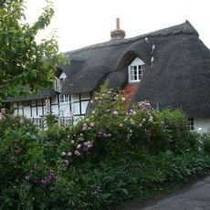
Stocks
2 km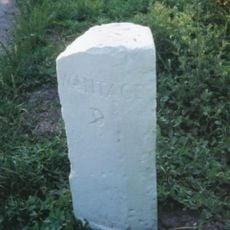
Milestone At Su 5253 8574
1.6 km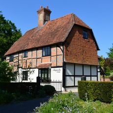
Nottingham Fee House
2.1 km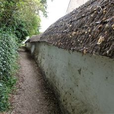
Cob wall forming southern boundary (locally known as Curtoys Lane) to housing estate
1.9 km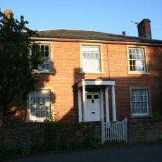
Curtoys
1.9 km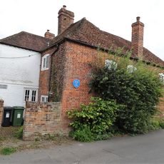
Boham's House
1.9 km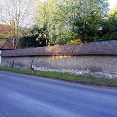
Cob wall attached to south of Wycherts
902 m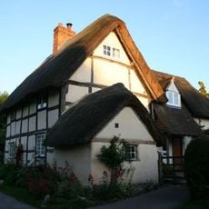
Laurences
2 km
Wycherts
914 mDiesen Ort besucht? Tippe auf die Sterne, um ihn zu bewerten und deine Erfahrung oder Fotos mit der Community zu teilen! Jetzt ausprobieren! Sie können jederzeit kündigen.
Entdecke verborgene Schätze auf jedem Abenteuer!
Von charmanten kleinen Cafés bis zu versteckten Aussichtspunkten – entfliehe dem Touristentrubel und finde Orte, die wirklich zu dir passen. Unsere App macht's dir leicht: Sprachsuche, clevere Filter, optimierte Routen und echte Geheimtipps von Reisenden weltweit. Jetzt runterladen und das Abenteuer mobil erleben!

Ein neuer Ansatz für touristische Entdeckungen❞
— Le Figaro
Alle Orte, die eine Entdeckung wert sind❞
— France Info
Ein maßgeschneiderter Ausflug mit nur wenigen Klicks❞
— 20 Minutes