
Aston, village and civil parish in High Peak, Derbyshire
Ort: High Peak
Grenzt an: Hope, Hope Woodlands, Brough and Shatton, Thornhill
GPS Koordinaten: 53.35200,-1.72300
Neueste Aktualisierung: 7. März 2025 um 16:52
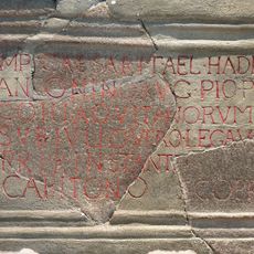
Navio Roman Fort
1.3 km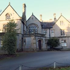
Losehill Hall
3.2 km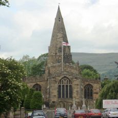
Church of St Peter
1.4 km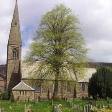
St John the Baptist church
2.3 km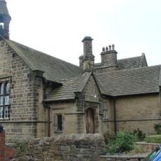
Roman Catholic Church of Our Lady of Sorrows and Attached Presbytery
2.2 km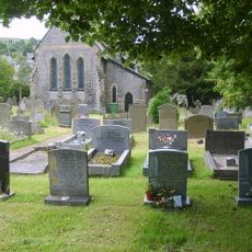
St Barnabas' Church, Bradwell
3 km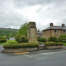
Hope War Memorial
1.3 km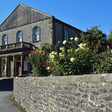
Methodist Church
3.1 km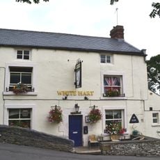
The White Hart Inn
3 km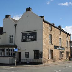
Old Hall Hotel
1.3 km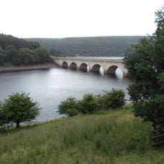
Ashopton Viaduct
2.6 km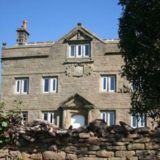
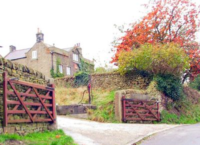
Aston Hall
48 m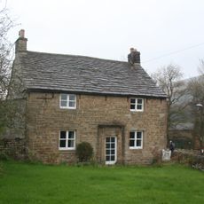
Killhill Farmhouse
1.4 km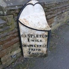
Mile Post East Of Marston Farm Sk159834
2.6 km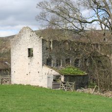
Spital Buildings
3.1 km
Navio Roman fort and vicus
1.3 km
Yorkshire Bridge
1.6 km
The Grey Ditch
2.5 km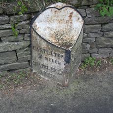
Mile Post at SK 176 834
1.2 km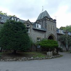
Stable block at Losehill Hall
3.2 km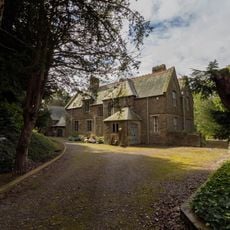
Rectory And Attached Coach House
2.3 km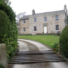
Spring House Farmhouse
2.9 km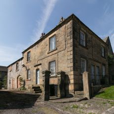
Stanley House and attached stableblock
3.1 km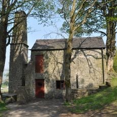
Pindale Mine engine house and attached chimney
2.6 km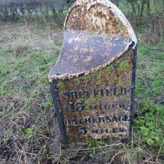
Mile Post At Os 189 826
1.3 km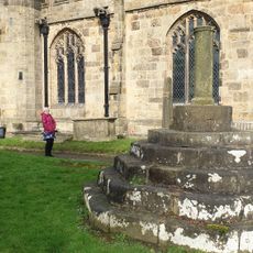
Standing cross in the churchyard of St Peter's Church
1.4 km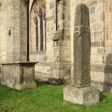
Anglian high cross in the churchyard of St Peter's Church
1.4 km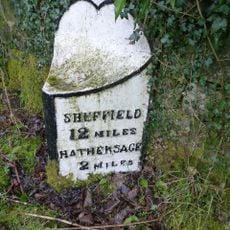
Milepost, Hope Road, Mytham, just W of Mytham Leadmill Bridge
2.4 kmDiesen Ort besucht? Tippe auf die Sterne, um ihn zu bewerten und deine Erfahrung oder Fotos mit der Community zu teilen! Jetzt ausprobieren! Sie können jederzeit kündigen.
Entdecke verborgene Schätze auf jedem Abenteuer!
Von charmanten kleinen Cafés bis zu versteckten Aussichtspunkten – entfliehe dem Touristentrubel und finde Orte, die wirklich zu dir passen. Unsere App macht's dir leicht: Sprachsuche, clevere Filter, optimierte Routen und echte Geheimtipps von Reisenden weltweit. Jetzt runterladen und das Abenteuer mobil erleben!

Ein neuer Ansatz für touristische Entdeckungen❞
— Le Figaro
Alle Orte, die eine Entdeckung wert sind❞
— France Info
Ein maßgeschneiderter Ausflug mit nur wenigen Klicks❞
— 20 Minutes