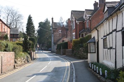
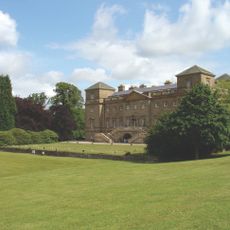
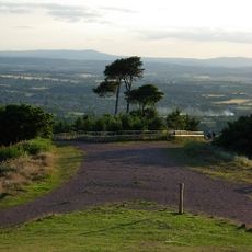
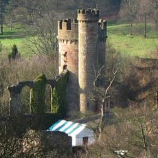
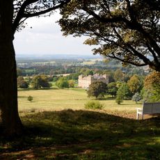
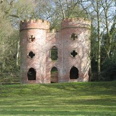
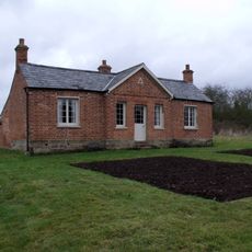
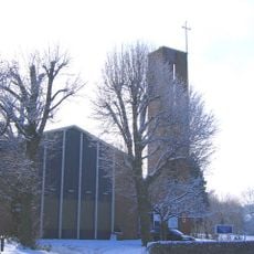
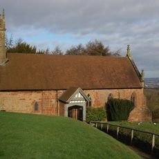
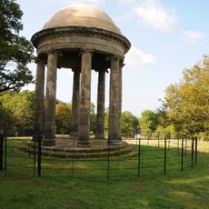
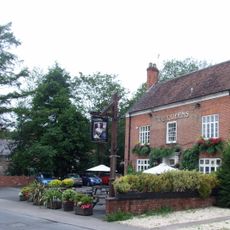
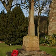
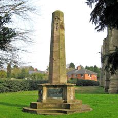
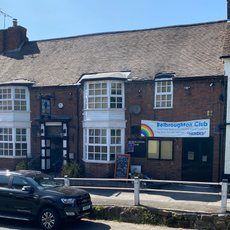
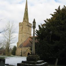
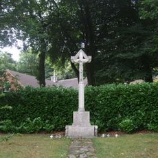
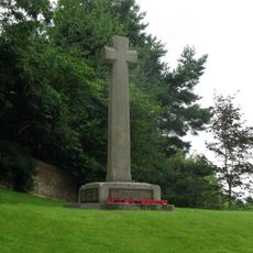
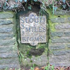
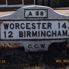
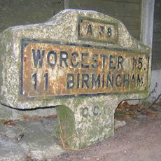
Belbroughton, village in Worcestershire, England, UK
Ort: Bromsgrove District
GPS Koordinaten: 52.39100,-2.11899
Neueste Aktualisierung: 11. März 2025 um 04:46
Hagley Hall
3.7 km
Clent Hills
3.5 km
Hagley Park Castle
3.7 km
Hagley Park
3.8 km
Clent Castle
2.8 km
Rosedene
4 km
St Chad's Church, Rubery
6.8 km
Church of the Holy Trinity, Belbroughton
165 m
Church of St Peter
2.3 km
Church of St John the Baptist
3.8 km
Church of All Saints
7.2 km
Christ Church
4.8 km
Church of St Leonard, Clent
2.5 km
Church of St Kenelm
4.5 km
Church of the Holy Trinity and St Mary
4.7 km
The Rotunda About 1/2 Mile North-east Of Hagley Hall
4 km
The Queens Public House
186 m
Clent War Memorial
2.5 km
Bromsgrove All Saints' War Memorial
7.1 km
Belbroughton's Workmen's Club
78 m
Churchyard Cross About 25 Yards South Of Thee Church Of The Holy Trinity
180 m
Lickey War Memorial
7.6 km
Monsieurs Hall
6.1 km
Belbroughton War Memorial
127 m
Milestone, Lower Clent
3.1 km
Milestone, Lickey End, S of M42 Jct 1
6.5 km
Milestone, Lower Marlbrook, N of M42 Jct 1
5.6 km
Milestone, Lydiate Ash, by "Hazlewood" No. 658, on "Old Birmingham Road"; now by-passed
5.6 kmBewertungen
Diesen Ort besucht? Tippe auf die Sterne, um ihn zu bewerten und deine Erfahrung oder Fotos mit der Community zu teilen! Jetzt ausprobieren! Sie können jederzeit kündigen.
Entdecke verborgene Schätze auf jedem Abenteuer!
Von charmanten kleinen Cafés bis zu versteckten Aussichtspunkten – entfliehe dem Touristentrubel und finde Orte, die wirklich zu dir passen. Unsere App macht's dir leicht: Sprachsuche, clevere Filter, optimierte Routen und echte Geheimtipps von Reisenden weltweit. Jetzt runterladen und das Abenteuer mobil erleben!
Ein neuer Ansatz für touristische Entdeckungen❞
— Le Figaro
Alle Orte, die eine Entdeckung wert sind❞
— France Info
Ein maßgeschneiderter Ausflug mit nur wenigen Klicks❞
— 20 Minutes