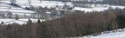
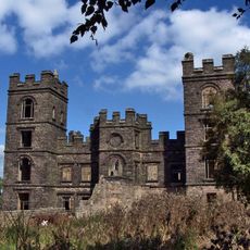
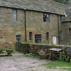
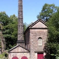
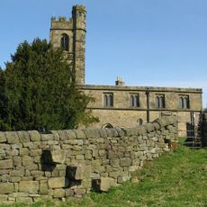
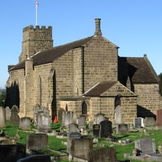
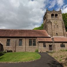
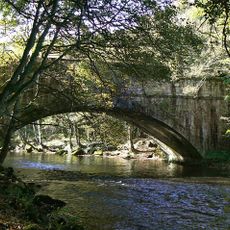
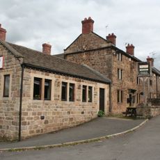
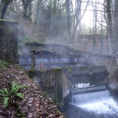
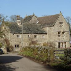
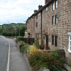
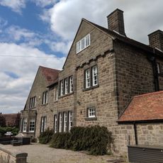
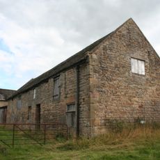
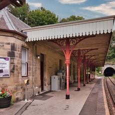
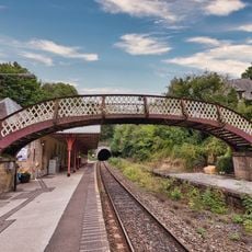
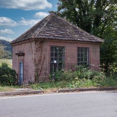
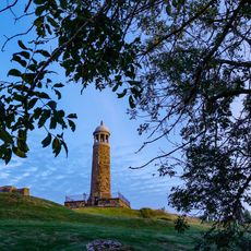
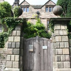
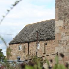
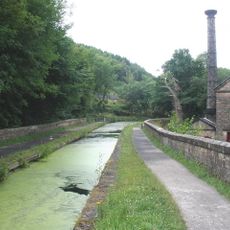
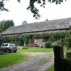
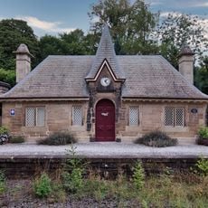
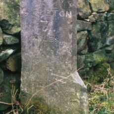
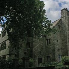
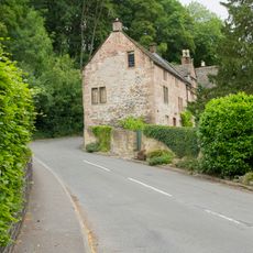
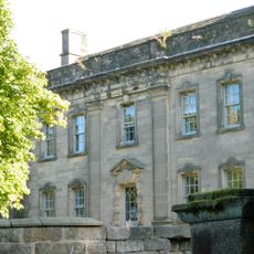
Dethick, Lea and Holloway, Gemeinde in der englischen Grafschaft Derbyshire
Ort: Amber Valley
Grenzt an: Ashover, Tansley, Matlock Town, Cromford, Wirksworth, Alderwasley, Crich
GPS Koordinaten: 53.11000,-1.51400
Neueste Aktualisierung: 10. März 2025 um 04:02
Riber Castle
2.8 km
Dethick Manor
902 m
Leawood Pump House
1.8 km
St John the Baptist's Church
884 m
Holy Trinity Church, Tansley
2.9 km
Christ Church, Holloway
353 m
Sherwood Foresters Memorial Tower
2.5 km
Wigwell Aqueduct
1.8 km
The Jug and Glass Public House
493 m
Meerbrook sough portal 380m south west of Leashaw Farm
1.8 km
Metropolitan Police Public Call Post At The National Tramway Museum
2.8 km
Manor House
2.6 km
Nos. 1 and 2 The Row
475 m
Repton House
344 m
Outbuilding to the north north west of Babington Farmhouse
956 m
Cromford Station (Main Builidng On West Platform)
2.4 km
Footbridge At Cromford Station
2.4 km
Fishing Pavilion
2.6 km
Crich Stand Tower
2.5 km
Front garden wall and gate piers of Riber Hall
2.6 km
Barn to the north of Church Farmhouse
920 m
Cromford Canal engine house, engine and aqueduct
1.8 km
Barn of Riber Hall
2.6 km
Cromford Station (Building On East Platform)
2.3 km
Mile Stone 2 Miles From Wirksworth
2.3 km
Riber Hall
2.6 km
Bridge House
2.6 km
Lea Hall, Gatepier, And Boundary Wall To The North
805 mBewertungen
Diesen Ort besucht? Tippe auf die Sterne, um ihn zu bewerten und deine Erfahrung oder Fotos mit der Community zu teilen! Jetzt ausprobieren! Sie können jederzeit kündigen.
Entdecke verborgene Schätze auf jedem Abenteuer!
Von charmanten kleinen Cafés bis zu versteckten Aussichtspunkten – entfliehe dem Touristentrubel und finde Orte, die wirklich zu dir passen. Unsere App macht's dir leicht: Sprachsuche, clevere Filter, optimierte Routen und echte Geheimtipps von Reisenden weltweit. Jetzt runterladen und das Abenteuer mobil erleben!
Ein neuer Ansatz für touristische Entdeckungen❞
— Le Figaro
Alle Orte, die eine Entdeckung wert sind❞
— France Info
Ein maßgeschneiderter Ausflug mit nur wenigen Klicks❞
— 20 Minutes