
Liss, village and civil parish in Hampshire, England, UK
Ort: East Hampshire
Höhe über dem Meer: 15 m
Website: https://lissparishcouncil.gov.uk
GPS Koordinaten: 51.04278,-0.89194
Neueste Aktualisierung: 3. März 2025 um 14:44
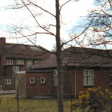
Bordon and Longmoor Military Camps
3.7 km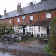
The Harrow
3.7 km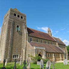
Church of St Mary
386 m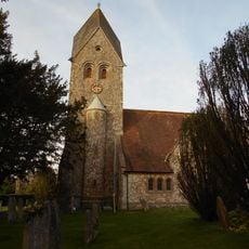
Church of St Peter and St Paul
3.5 km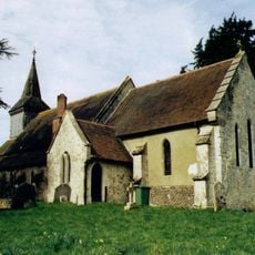
Church of the Holy Rood
4.4 km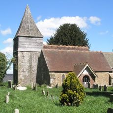
Church of St Peter
1.3 km
Old Church of St John
2.7 km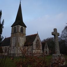
Church of St John the Baptist
2.8 km
Church of All Saints
4 km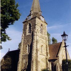
Church of St Mary Magdalene
3.6 km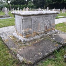
Table Tomb 3 Metres South Of The Church
1.2 km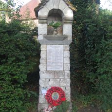
War Memorial on the Corner of Mill Lane and Church Road
4.3 km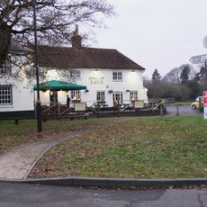
Spread Eagle Public House
1.1 km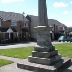
Liss War Memorial
107 m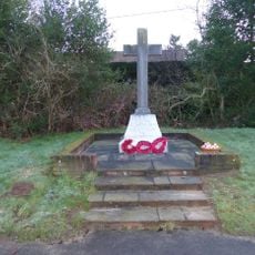
Rake War Memorial
2.6 km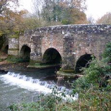
Durford Bridge
4.4 km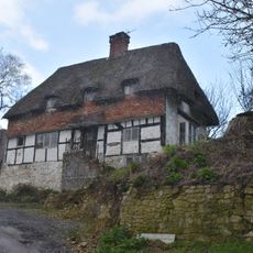
Mabbotts Farmhouse
3.5 km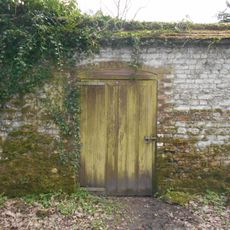
Kitchen Garden Wall Extending Eastwards From The Coach House
4.2 km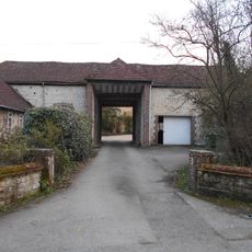
Gateway To Ashford Chase
4 km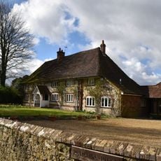
Parsons Piece
3.6 km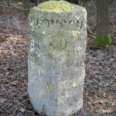
Milestone On South Side Of The B2070 London Road, Immediately East Of Entrance To Sussex Gate
1.9 km
Hill Place
4.3 km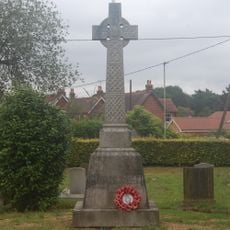
Liss WWI Memorial
388 m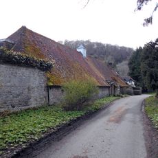
Coachhouse To Old Ashford Manor
4.2 km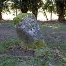
Milestone, Coldharbour Park Farm
3.1 km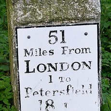
Milestone, London Road, by No. 21, E of roundabout
4 km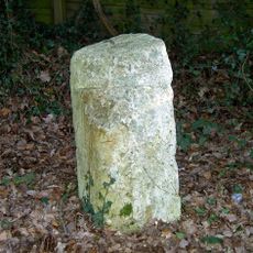
Milestone, London Road, Highfield Wood; by 'Milestone' house
1.9 km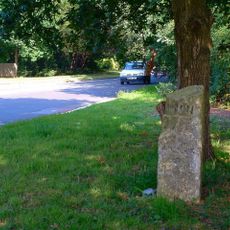
Milestone, The Shrubs
1.8 kmBewertungen
Diesen Ort besucht? Tippe auf die Sterne, um ihn zu bewerten und deine Erfahrung oder Fotos mit der Community zu teilen! Jetzt ausprobieren! Sie können jederzeit kündigen.
Entdecke verborgene Schätze auf jedem Abenteuer!
Von charmanten kleinen Cafés bis zu versteckten Aussichtspunkten – entfliehe dem Touristentrubel und finde Orte, die wirklich zu dir passen. Unsere App macht's dir leicht: Sprachsuche, clevere Filter, optimierte Routen und echte Geheimtipps von Reisenden weltweit. Jetzt runterladen und das Abenteuer mobil erleben!

Ein neuer Ansatz für touristische Entdeckungen❞
— Le Figaro
Alle Orte, die eine Entdeckung wert sind❞
— France Info
Ein maßgeschneiderter Ausflug mit nur wenigen Klicks❞
— 20 Minutes