
Draughton, village and civil parish in Northamptonshire, United Kingdom
GPS Koordinaten: 52.38370,-0.88480
Neueste Aktualisierung: 2. März 2025 um 23:55
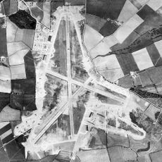
RAF Harrington
1.9 km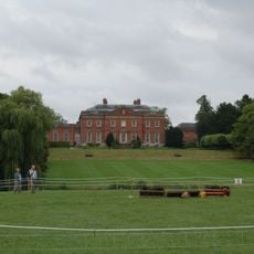
Kelmarsh Hall
3.7 km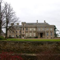
Lamport Hall
2.3 km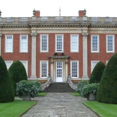
Cottesbrooke Hall
5.6 km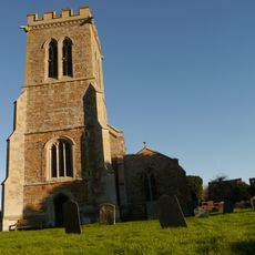
Church of St Andrew
4.5 km
Arthingworth Manor
4.9 km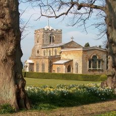
Church of All Saints, Lamport
2.2 km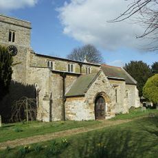
St Catherine's Church, Draughton
197 m
Rothwell Gullet
6.8 km
Church of St Peter and Paul
4.2 km
Church of St Andrew, Arthingworth
4.7 km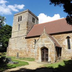
Church of St Mary the Virgin
1.1 km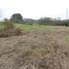
Birch Spinney and Mawsley Marsh
5 km
Church of St Andrew
6.8 km
Church of St Michael
4.8 km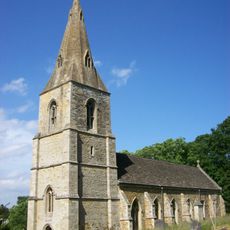
Church of St Denys
3.5 km
Harrington Aviation Museum
2.4 km
Church of St Peter and St Paul
4.3 km
Church of St Leonard
5.7 km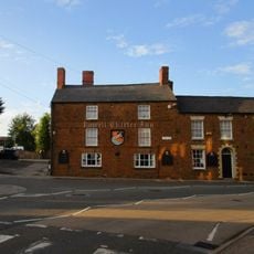
Rowell Charter Inn
7 km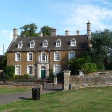
Rothwell Manor House
7.1 km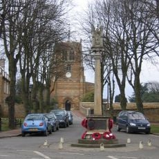
Rothwell War Memorial, Northamptonshire
7 km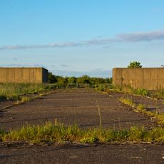
Thor Missile Site At Former Raf Harrington Including The Pyrotechnic Store And Classified Storage Building To The West Of The Three Emplacements.
1.9 km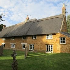
Stable Yard Cottages
5.7 km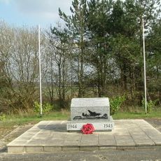
801st & 492nd Bombardment Group 'The Carpetbaggers' Memorial, Harrington
2 km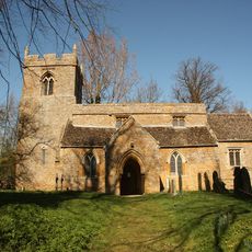
The Orton Trust Workshop
5.3 km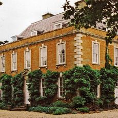
The Old Rectory
2.2 km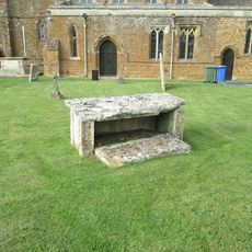
Chest Tomb 15 Metres South Of Church Of St Leonard
5.7 kmBewertungen
Diesen Ort besucht? Tippe auf die Sterne, um ihn zu bewerten und deine Erfahrung oder Fotos mit der Community zu teilen! Jetzt ausprobieren! Sie können jederzeit kündigen.
Entdecke verborgene Schätze auf jedem Abenteuer!
Von charmanten kleinen Cafés bis zu versteckten Aussichtspunkten – entfliehe dem Touristentrubel und finde Orte, die wirklich zu dir passen. Unsere App macht's dir leicht: Sprachsuche, clevere Filter, optimierte Routen und echte Geheimtipps von Reisenden weltweit. Jetzt runterladen und das Abenteuer mobil erleben!

Ein neuer Ansatz für touristische Entdeckungen❞
— Le Figaro
Alle Orte, die eine Entdeckung wert sind❞
— France Info
Ein maßgeschneiderter Ausflug mit nur wenigen Klicks❞
— 20 Minutes