
Botusfleming, village and civil parish in Cornwall, England, UK
Ort: Cornwall
Höhe über dem Meer: 50,2 m
GPS Koordinaten: 50.43000,-4.24800
Neueste Aktualisierung: 23. März 2025 um 06:41
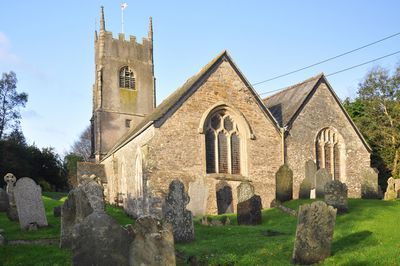
Church of St Stephen
3.2 km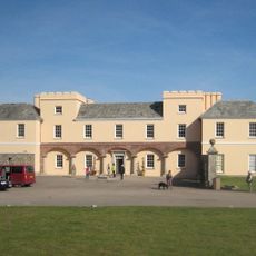
Pentillie
3.3 km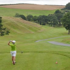
St. Mellion International Resort
5 km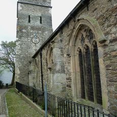
Parish Church of St Nicholas and St Faith
3.7 km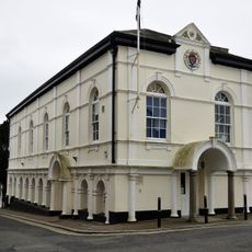
Saltash Guildhall
3.7 km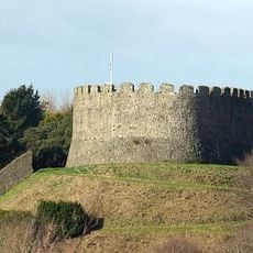
Trematon Castle
3.4 km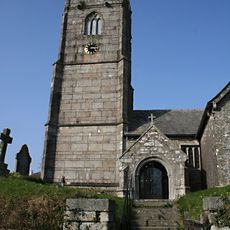
Church of St Mellanus
4.5 km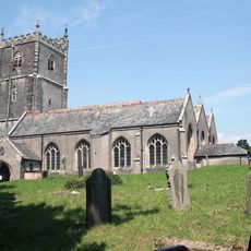
Church of St Leonard and St Dilp
2.7 km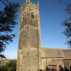
Church of St Michael
3.1 km
Church of St Odulphus
4.8 km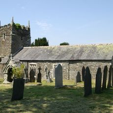
Church of St Terminus
4 km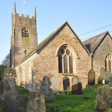
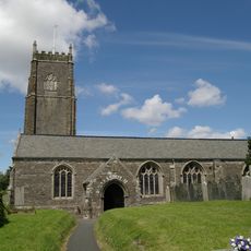
Church of St Mary
32 m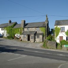
Coryton Arms Excluding Extension On Left Hand Gable End
4.5 km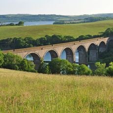
Forder Viaduct
3.8 km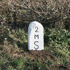
Milestone Near Withy Cross
1.6 km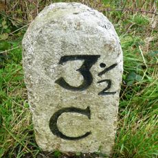
Milestone To East Of The Glebe
4.3 km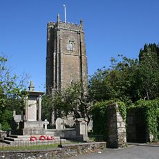
St Stephens by Saltash War Memorial
3.2 km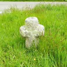
Trehan Cross, at Trehan village
3.2 km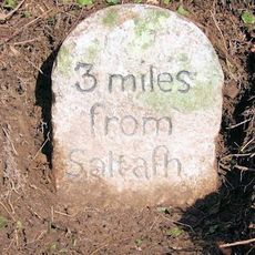
Milestone To East Of Notter Bridge
1.9 km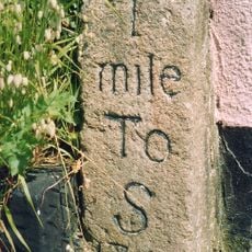
Milestone At Burraton Cross
2 km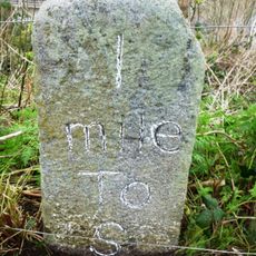
Milestone At Ngr Sx4211259431
2.5 km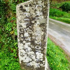
Milestone At Sx 366 633
4.3 km
Milestone To South East Of Carkeel
1.2 km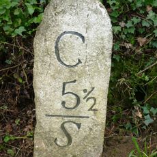
Milestone North Of Hatt (Ngr Sx3987662632)
1.4 km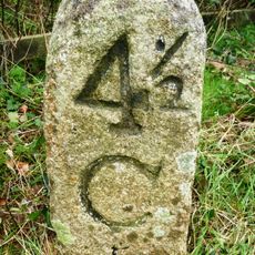
Milestone At Paynters Cross
2.9 km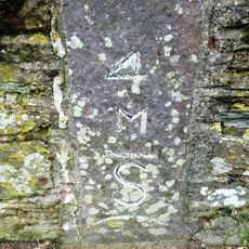
Milestone
3.3 km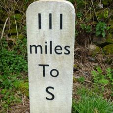
Milestone, Botus Fleming, Callington Road, NW of Carkeel, S of Hatt
717 m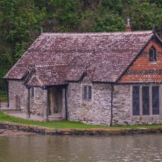
Bathing House At Pentillie Quay And Quay
3.4 kmDiesen Ort besucht? Tippe auf die Sterne, um ihn zu bewerten und deine Erfahrung oder Fotos mit der Community zu teilen! Jetzt ausprobieren! Sie können jederzeit kündigen.
Entdecke verborgene Schätze auf jedem Abenteuer!
Von charmanten kleinen Cafés bis zu versteckten Aussichtspunkten – entfliehe dem Touristentrubel und finde Orte, die wirklich zu dir passen. Unsere App macht's dir leicht: Sprachsuche, clevere Filter, optimierte Routen und echte Geheimtipps von Reisenden weltweit. Jetzt runterladen und das Abenteuer mobil erleben!

Ein neuer Ansatz für touristische Entdeckungen❞
— Le Figaro
Alle Orte, die eine Entdeckung wert sind❞
— France Info
Ein maßgeschneiderter Ausflug mit nur wenigen Klicks❞
— 20 Minutes