
Coychurch Lower, community in Bridgend County Borough, Wales, UK
GPS Koordinaten: 51.49840,-3.52898
Neueste Aktualisierung: 7. März 2025 um 15:11
Ewenny Priory
2.9 km
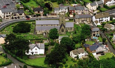
Church Of St Crallo
868 m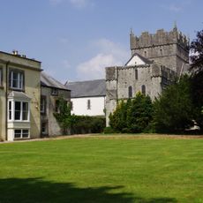
Ewenny Priory House
2.9 km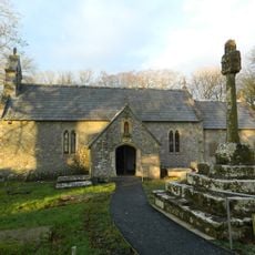
St Canna's Church
2 km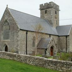
Church Of St Mary
3.1 km
Church of St Mary
1.9 km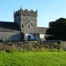
Church Of St Michael
2.9 km
Ewenny Priory Church
2.9 km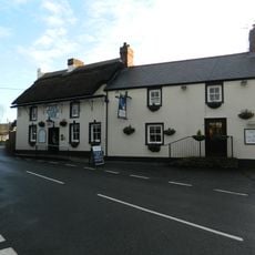
Star Inn
626 m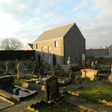
Saron Welsh Congregationalist Chapel
678 m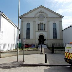
Hermon Calvinistic Methodist Chapel
3.3 km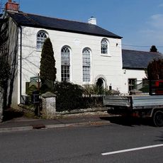
Tŷ Capel
2.7 km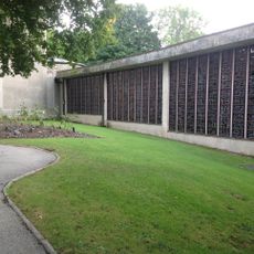
Coychurch Cemetery Capel Crallo And Capel Coity
1.6 km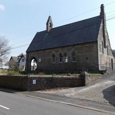
Ewenny Community Village Hall
3.2 km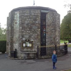
Coychurch Cemetery Chapel Of Remembrance
1.6 km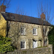
Treoes Farmhouse
602 m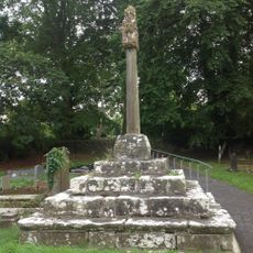
Churchyard Cross At Church Of St Canna
2.1 km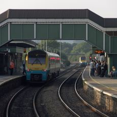
Footbridge at Bridgend Railway Station
3.3 km
N Tower And Attached Stretch Of Precinct Wall At Ewenny Priory (house)
2.9 km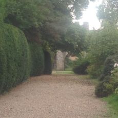
S Gatehouse At Ewenny Priory (house)
3 km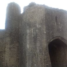
N Gatehouse At Ewenny Priory (house)
3 km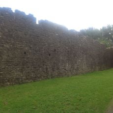
W Precinct Wall At Ewenny Priory (house)
3 km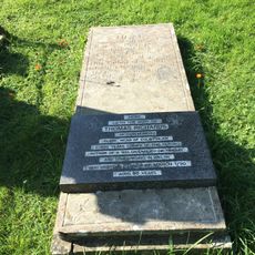
Tombstone of Thomas Richards in Coychurch churchyard
863 m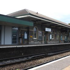
West platform building, Bridgend railway station
3.4 km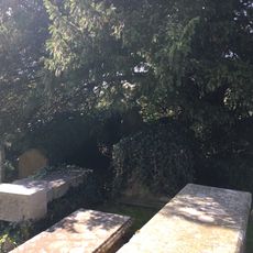
Group of 3 table tombs in Coychurch churchyard adjoining S porch
856 m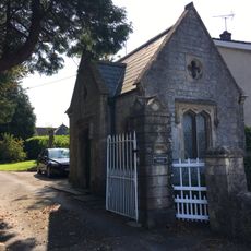
Brynffrwd Entrance and Lodge
752 m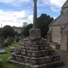
Churchyard Cross In Coychurch Churchyard
846 m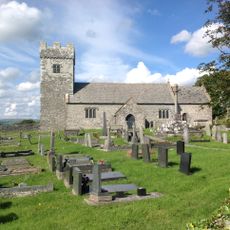
Churchyard Cross at Church of St Mary
1.9 kmDiesen Ort besucht? Tippe auf die Sterne, um ihn zu bewerten und deine Erfahrung oder Fotos mit der Community zu teilen! Jetzt ausprobieren! Sie können jederzeit kündigen.
Entdecke verborgene Schätze auf jedem Abenteuer!
Von charmanten kleinen Cafés bis zu versteckten Aussichtspunkten – entfliehe dem Touristentrubel und finde Orte, die wirklich zu dir passen. Unsere App macht's dir leicht: Sprachsuche, clevere Filter, optimierte Routen und echte Geheimtipps von Reisenden weltweit. Jetzt runterladen und das Abenteuer mobil erleben!

Ein neuer Ansatz für touristische Entdeckungen❞
— Le Figaro
Alle Orte, die eine Entdeckung wert sind❞
— France Info
Ein maßgeschneiderter Ausflug mit nur wenigen Klicks❞
— 20 Minutes