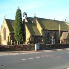
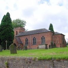
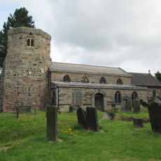
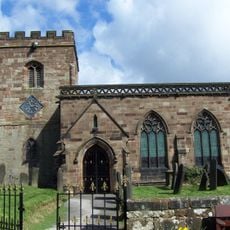
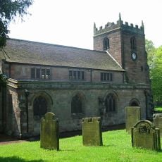
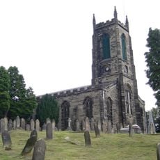
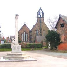
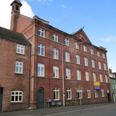
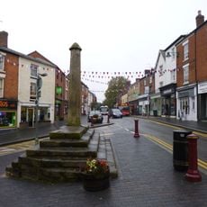
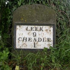
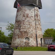
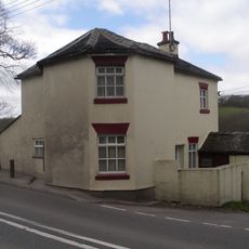
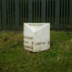
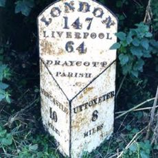
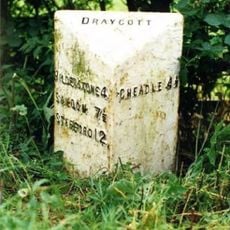
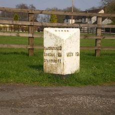
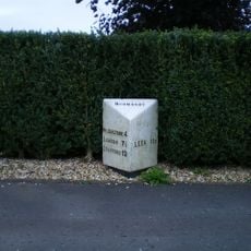
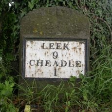
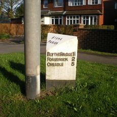
Forsbrook, village in Staffordshire, England, United Kingdom
GPS Koordinaten: 52.97084,-2.05505
Neueste Aktualisierung: 9. März 2025 um 19:13
Foxfield Railway
3.6 km
Caverswall Castle
1.9 km
St. Giles' Catholic Church, Cheadle
4.7 km
The Ship Inn
4.4 km
Church of the Holy Evangelists
4.5 km
Church of St Nicholas
3.3 km
Church of All Saints
2 km
Church of St Margaret
2.1 km
Church of St Peter
1.8 km
Church of St Giles
4.6 km
Stallington Hall Hospital And Attached Stables
2.9 km
Forsbrook and Blythe Bridge War Memorial
491 m
New Tean Hall Mill
5 km
Market Cross And Stepped Plinth
4.7 km
Milestone At Harewood, Nw Of Traffic Roundabout
4.7 km
Milepost At Sj9945039761 Approximately 140M East Of Totmonslow Farm
3.5 km
Windmill (Now Used As A Transmitter Station)
3.7 km
Tollgate House
4.3 km
Milepost, Lightwood
3.8 km
Milepost, near Totmonslow
3.5 km
Milepost, Manor Farm, between Draycott & Cresswell, nr jct
2.1 km
Milepost, S of Meir Heath
3.9 km
Milepost, Meir Heath
3.6 km
Milestone, Harewood, NW of roundabout
4.7 km
Milepost, between Meir Heath & Blythe Bridge
3 km
Milepost, N of Spot Acre
4.6 km
Milepost, Weston Coyney; Park Hall Road
4.2 km
Milepost, Rough Close
4.5 kmBewertungen
Diesen Ort besucht? Tippe auf die Sterne, um ihn zu bewerten und deine Erfahrung oder Fotos mit der Community zu teilen! Jetzt ausprobieren! Sie können jederzeit kündigen.
Entdecke verborgene Schätze auf jedem Abenteuer!
Von charmanten kleinen Cafés bis zu versteckten Aussichtspunkten – entfliehe dem Touristentrubel und finde Orte, die wirklich zu dir passen. Unsere App macht's dir leicht: Sprachsuche, clevere Filter, optimierte Routen und echte Geheimtipps von Reisenden weltweit. Jetzt runterladen und das Abenteuer mobil erleben!
Ein neuer Ansatz für touristische Entdeckungen❞
— Le Figaro
Alle Orte, die eine Entdeckung wert sind❞
— France Info
Ein maßgeschneiderter Ausflug mit nur wenigen Klicks❞
— 20 Minutes