
Leekfrith, civil parish in Staffordshire Moorlands, Staffordshire, England
Grenzt an: Macclesfield Forest and Wildboarclough
GPS Koordinaten: 53.14720,-2.01694
Neueste Aktualisierung: 25. März 2025 um 07:46
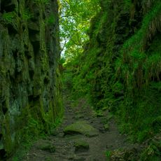
Lud's Church
4.5 km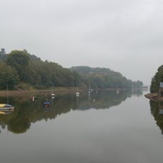
Rudyard Lake
4.8 km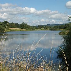
Tittesworth Reservoir
694 m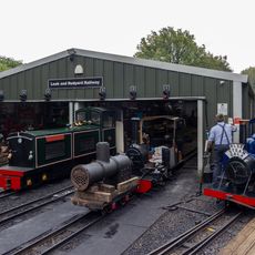
Rudyard Lake Steam Railway
4.6 km
Dieulacres Abbey
3.3 km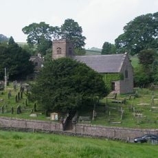
St Michael's Church, Wincle
5.8 km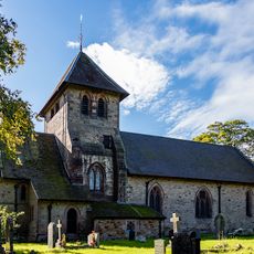
Church of St Matthew
284 m
Sainsbury's
4.2 km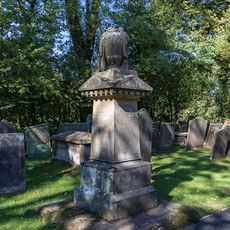
Condlyff Memorial approximately 3 metres south of Church of St Matthew
302 m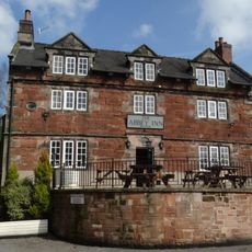
Abbey Inn
3.5 km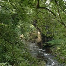
Dane Bridge
4.7 km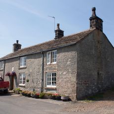
Eagle And Child
5.2 km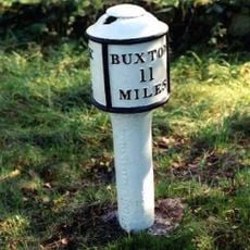
Milepost at NGR SJ 551 577
3.6 km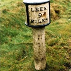
Mile Post Leek 5 Miles
4.4 km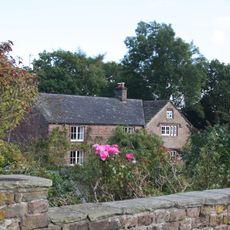
White Lee Farmhouse
4.8 km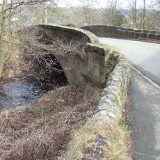
Broads Bridge
4 km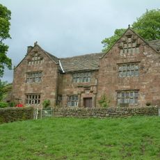
Windygates Hall
1.6 km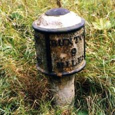
Milepost Near Upper Hulme (Ngr Sk0130760681)
2.4 km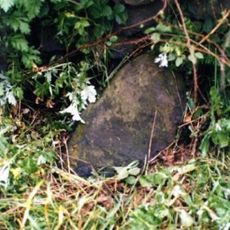
Milestone, S of Ryecroft Gate
5 km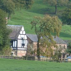
Dieu-La-Cres Abbey Farmhouse
3.4 km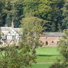
West stable range at Dieu-La-Cres Abbey Farm
3.4 km
240, Abbey Green Road
3.6 km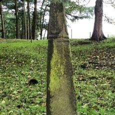
Cross Approximately 350 Metres North West Of Hall
4.2 km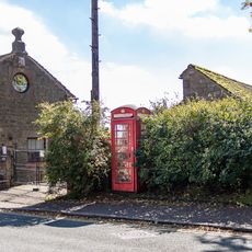
K6 Telephone Kiosk
348 m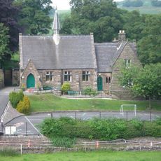
Wincle Church Of England Aided Primary School And Attached Schoolmaster's House
5.8 km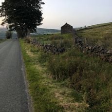
Sniddles (Map Ref. 007-657)
4.9 km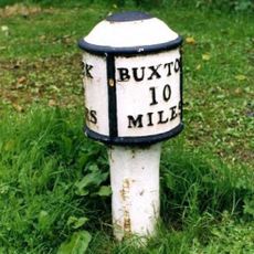
Milepost Leek 2 Miles
2.5 km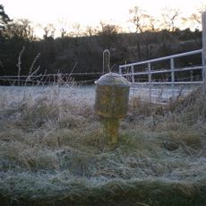
Milepost, near Upper Hulme
2.4 kmDiesen Ort besucht? Tippe auf die Sterne, um ihn zu bewerten und deine Erfahrung oder Fotos mit der Community zu teilen! Jetzt ausprobieren! Sie können jederzeit kündigen.
Entdecke verborgene Schätze auf jedem Abenteuer!
Von charmanten kleinen Cafés bis zu versteckten Aussichtspunkten – entfliehe dem Touristentrubel und finde Orte, die wirklich zu dir passen. Unsere App macht's dir leicht: Sprachsuche, clevere Filter, optimierte Routen und echte Geheimtipps von Reisenden weltweit. Jetzt runterladen und das Abenteuer mobil erleben!

Ein neuer Ansatz für touristische Entdeckungen❞
— Le Figaro
Alle Orte, die eine Entdeckung wert sind❞
— France Info
Ein maßgeschneiderter Ausflug mit nur wenigen Klicks❞
— 20 Minutes