
Rawcliffe, village and civil parish in the East Riding of Yorkshire, England
GPS Koordinaten: 53.69972,-0.96505
Neueste Aktualisierung: 27. März 2025 um 18:19

Carlton Towers
3.5 km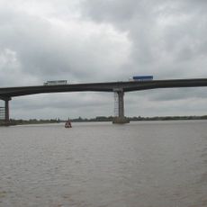
Ouse Bridge
6.5 km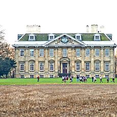
Cowick Hall
3.4 km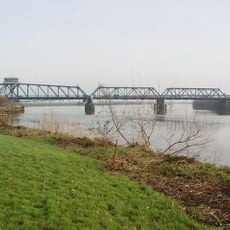
Boothferry Bridge
5.8 km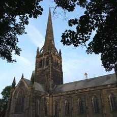
Church of St John
6.1 km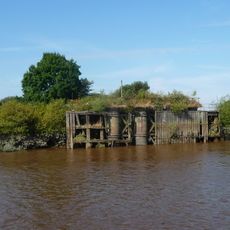
Long Drax swing bridge
5 km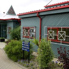
Yorkshire Waterways Museum
5.1 km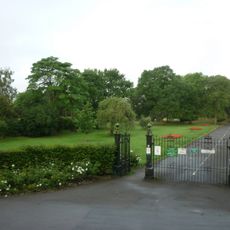
West Park
4.8 km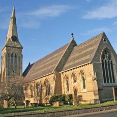
Church of St Mary
3.8 km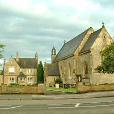
Church of St Mary (roman Catholic)
3.9 km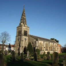
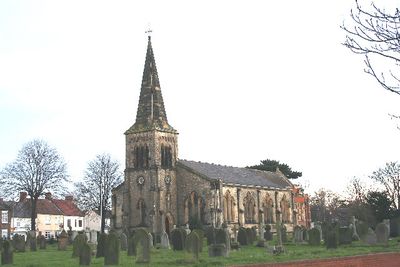
Church of St James
138 m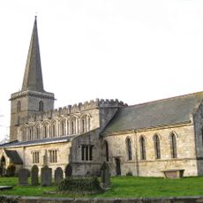
Church of St Peter and St Paul
3.4 km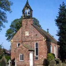
Church of St David
4.6 km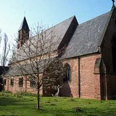
Church of the Holy Trinity
2.7 km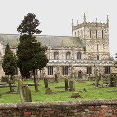
Church of St Lawrence
4.4 km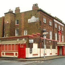
Lowther Hotel
6.3 km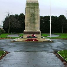
Goole Cenotaph
5.5 km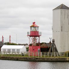
Hydraulic Accumulator Tower Approximately 20 Metres East Of South Dock Basin
5.8 km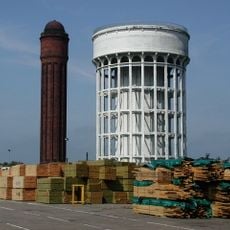
Brick Water Tower
5.7 km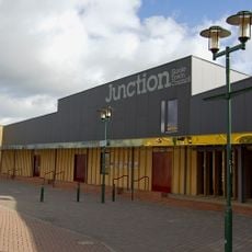
Junction, Goole
6.2 km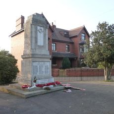
Rawcliffe War Memorial
1.2 km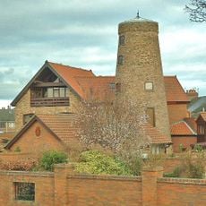
Windmill Tower Approximately 30 Metres North West Of Junction With Axholme Street
6.7 km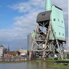
Boat Hoist On South Side Of South Dock
5.8 km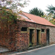
Lock-Up
4.4 km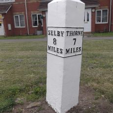
Mile-Post Approximately 75 Metres West Of Fairholme
3.9 km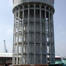
Concrete Water Tower
5.7 km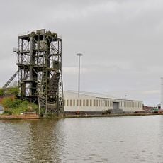
Coal Wagon Hoist, Adjoining Railway Approach And Control Boxes
6 km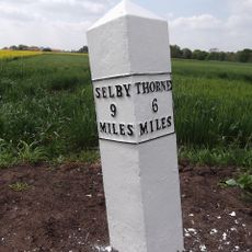
Milepost Approximately 50 Metres South-East Of Cowick Primary School
2.7 kmDiesen Ort besucht? Tippe auf die Sterne, um ihn zu bewerten und deine Erfahrung oder Fotos mit der Community zu teilen! Jetzt ausprobieren! Sie können jederzeit kündigen.
Entdecke verborgene Schätze auf jedem Abenteuer!
Von charmanten kleinen Cafés bis zu versteckten Aussichtspunkten – entfliehe dem Touristentrubel und finde Orte, die wirklich zu dir passen. Unsere App macht's dir leicht: Sprachsuche, clevere Filter, optimierte Routen und echte Geheimtipps von Reisenden weltweit. Jetzt runterladen und das Abenteuer mobil erleben!

Ein neuer Ansatz für touristische Entdeckungen❞
— Le Figaro
Alle Orte, die eine Entdeckung wert sind❞
— France Info
Ein maßgeschneiderter Ausflug mit nur wenigen Klicks❞
— 20 Minutes