
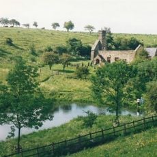
Kirby Underdale, village and civil parish in East Riding of Yorkshire, United Kingdom
GPS Koordinaten: 54.01689,-0.77002
Neueste Aktualisierung: 3. März 2025 um 03:01
Wharram Percy
7.7 km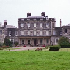
Birdsall House
6.3 km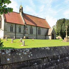
Church of Saint Mary
4.3 km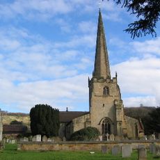
Church of St Edith
3.5 km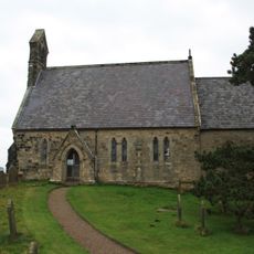
Church of All Saints
6.7 km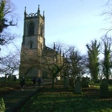
Church of Saint Mary
6.9 km
Church of Saint Martin
6.9 km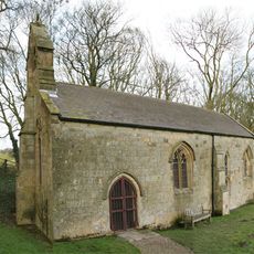
Church of Saint Ethelburgh
4.7 km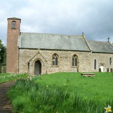
Church of Saint Mary
5.9 km
Church of St Mary
6.8 km
Church of St. Mary
8.1 km
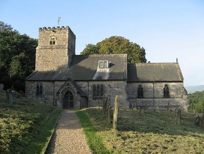
Church of All Saints
152 m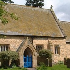
Church of St Mary
6.7 km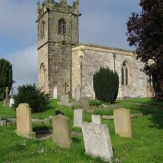
Church of St Andrew
3.5 km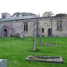
Church of St Margaret
7.1 km
Church of St Martin
6.6 km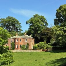
Painsthorpe Hall
589 m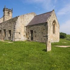
Church of Saint Martin
7.6 km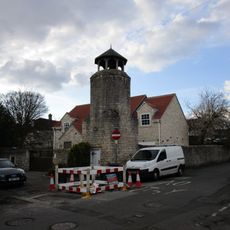
Part of Leppington medieval village, a moated site and site of the former parish church of St Helen
5 km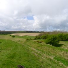
Sections of single and multiple linear boundary dykes on Huggate Pasture and Frendal Dale
5.8 km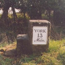
Milestone At Se 789566
2.7 km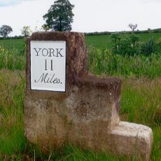
Milestone At Se 758562
5.5 km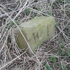
Boundary Stone At Ngr Se 871539
7.9 km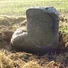
Milestone, just W of Full Sutton jct.
6.8 km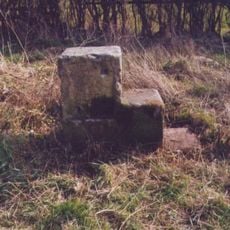
Milestone, 550m W of Barf Lane (to Bugthorpe)
3.9 km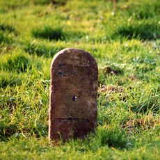
Milestone, entrance to Wold House Farm (east entrance)
5.6 km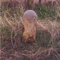
Milestone, ¾mile from Fridaythorpe on Fimber Road
7.9 km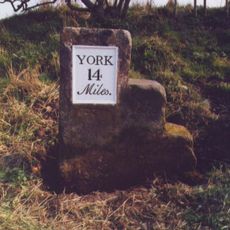
Milestone, 100m E of the Crucification memorial
1.9 kmBewertungen
Diesen Ort besucht? Tippe auf die Sterne, um ihn zu bewerten und deine Erfahrung oder Fotos mit der Community zu teilen! Jetzt ausprobieren! Sie können jederzeit kündigen.
Entdecke verborgene Schätze auf jedem Abenteuer!
Von charmanten kleinen Cafés bis zu versteckten Aussichtspunkten – entfliehe dem Touristentrubel und finde Orte, die wirklich zu dir passen. Unsere App macht's dir leicht: Sprachsuche, clevere Filter, optimierte Routen und echte Geheimtipps von Reisenden weltweit. Jetzt runterladen und das Abenteuer mobil erleben!

Ein neuer Ansatz für touristische Entdeckungen❞
— Le Figaro
Alle Orte, die eine Entdeckung wert sind❞
— France Info
Ein maßgeschneiderter Ausflug mit nur wenigen Klicks❞
— 20 Minutes