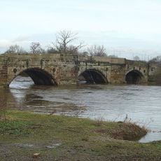
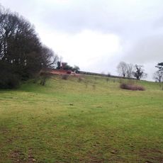
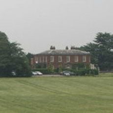
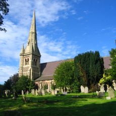
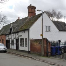
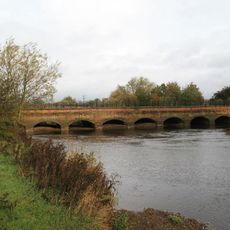
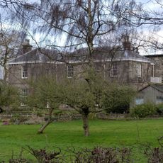
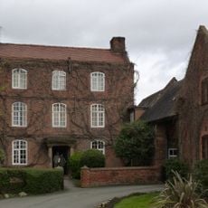
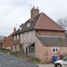
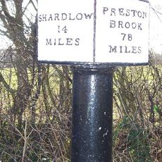
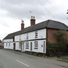
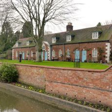
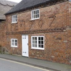
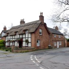
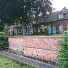
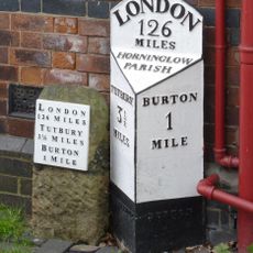
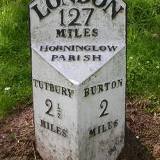
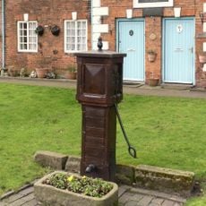
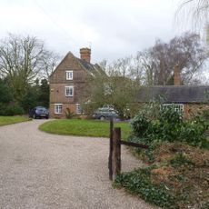
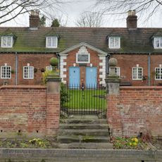
Stretton, Gemeinde in der englischen Grafschaft Staffordshire
Ort: East Staffordshire
GPS Koordinaten: 52.83400,-1.62600
Neueste Aktualisierung: 13. März 2025 um 02:02
Monks Bridge
1.7 km
Claymills Pumping Station
1.1 km
Bladon Castle
2.1 km
Dovecliff Hall
1.2 km
St John the Divine
1.6 km
St. Chad's Church
2 km
St Mary's, Stretton
81 m
St Wilfrid's Church, Egginton
2.1 km
1, Chapel Lane
1.9 km
Dove Aqueduct
1.7 km
Craythorne Hall (Now Includes Craythorne Grange)
927 m
Milepost At Beam Hill Cross Roads (Ngr Sk2346125998)
1.9 km
Brookhouse Inn
2 km
Former Hydraulic Power House
2.2 km
5 And 6, Bladons Yard
2.1 km
Trent And Mersey Canal Milepost At Sk 259 260
720 m
Barn Farmhouse
2 km
Perimeter Wall To East, North And South Of The Almshouses, Nos. 2, 4, 6, 8 And 12
2.1 km
3, Beacon Road
1.8 km
1, Beacon Road
1.8 km
14 And 16, Burnside
2.1 km
Milepost At Royal Oak Inn (Ngr Sk2433524765)
1.8 km
Milepost, Tutbury Road, jct with BeamHill Road at Outwoods Cross
1.9 km
Hand Pump Approximately 10M East Of The Almshouses
2.1 km
The Croft House
2.1 km
The Almshouses
2.1 km
Milepost, Horninglow Road North; by Royal Oak PH, just W of bypass flover
1.8 km
Milestone, Horninglow Road North; by Royal Oak PH, just west of bypass flover
1.8 kmDiesen Ort besucht? Tippe auf die Sterne, um ihn zu bewerten und deine Erfahrung oder Fotos mit der Community zu teilen! Jetzt ausprobieren! Sie können jederzeit kündigen.
Entdecke verborgene Schätze auf jedem Abenteuer!
Von charmanten kleinen Cafés bis zu versteckten Aussichtspunkten – entfliehe dem Touristentrubel und finde Orte, die wirklich zu dir passen. Unsere App macht's dir leicht: Sprachsuche, clevere Filter, optimierte Routen und echte Geheimtipps von Reisenden weltweit. Jetzt runterladen und das Abenteuer mobil erleben!
Ein neuer Ansatz für touristische Entdeckungen❞
— Le Figaro
Alle Orte, die eine Entdeckung wert sind❞
— France Info
Ein maßgeschneiderter Ausflug mit nur wenigen Klicks❞
— 20 Minutes