
Nutbeam Farmhouse, Bauernhaus im Vereinigten Königreich
Ort: Duntisbourne Abbots
GPS Koordinaten: 51.76600,-2.03047
Neueste Aktualisierung: 12. April 2025 um 18:00
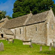
St Michael's Church, Duntisbourne Rouse
1.5 km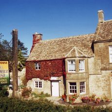
Five Mile House
1.6 km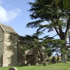
Church of St Bartholomew
2.4 km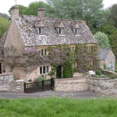
Davenport House
946 m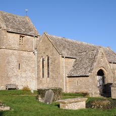
Church of St Peter
1 km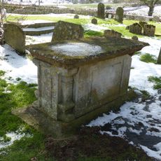
Unidentified monument in the churchyard approximately 2m south of porch to Church Of St Bartholomew
2.4 km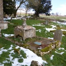
Unidentified monument in the churchyard approximately 4.5m south of chancel to Church of St Bartholomew
2.4 km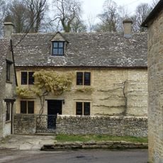
Turner's
482 m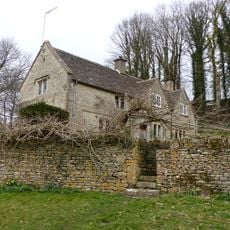
Whitehead's Well
718 m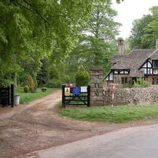
Gloucester Lodge
2.4 km
Barn approximately 3m north west of Croft Farmhouse
2.5 km
Leigh Cottage
490 m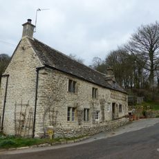
Alice's House
461 m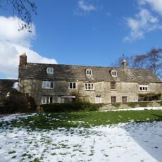
Manor Farmhouse
2.4 km
Footbridge to east of ford
1 km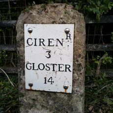
Milestone
2.2 km
Barn approximately 8 metres south of Duntisbourne Leer Farmhouse
475 m
Manor Farmhouse
942 m
Barn to south of Manor Farmhouse
970 m
Trustams Mead
500 m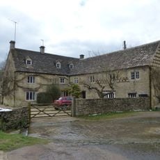
Duntisbourne Leer Farmhouse
478 m
22, Duntisbourne Leer
478 m
Milestone
1.4 km
Well Hill
992 m
Cartshed and granary with attached cowhouse across road and to south east of Manor Farmhouse
989 m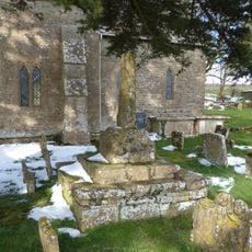
Churchyard cross in St Bartholomew's churchyard
2.4 km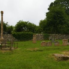
Churchyard cross in St Michael's churchyard
1.5 km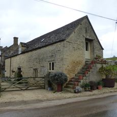
Stables to south east of Manor Farmhouse
958 mBewertungen
Diesen Ort besucht? Tippe auf die Sterne, um ihn zu bewerten und deine Erfahrung oder Fotos mit der Community zu teilen! Jetzt ausprobieren! Sie können jederzeit kündigen.
Entdecke verborgene Schätze auf jedem Abenteuer!
Von charmanten kleinen Cafés bis zu versteckten Aussichtspunkten – entfliehe dem Touristentrubel und finde Orte, die wirklich zu dir passen. Unsere App macht's dir leicht: Sprachsuche, clevere Filter, optimierte Routen und echte Geheimtipps von Reisenden weltweit. Jetzt runterladen und das Abenteuer mobil erleben!

Ein neuer Ansatz für touristische Entdeckungen❞
— Le Figaro
Alle Orte, die eine Entdeckung wert sind❞
— France Info
Ein maßgeschneiderter Ausflug mit nur wenigen Klicks❞
— 20 Minutes