
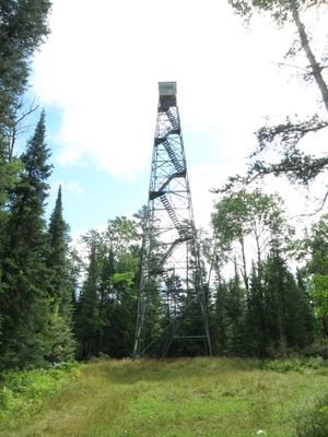
Cotton Lookout Tower
Ort: St. Louis County
GPS Koordinaten: 47.16741,-92.50438
Neueste Aktualisierung: 11. März 2025 um 13:34

United States Hockey Hall of Fame
33.9 km
Thomas Rukavina Memorial Bridge
38.5 km
Cloquet Valley State Forest
36 km
B'nai Abraham Synagogue
39.2 km
Church of St. John the Baptist
39.3 km
Iron Range Historical Society
35.6 km
Church of the Holy Family
33.1 km
Olcott Park
40.4 km
Finnish Sauna
39.6 km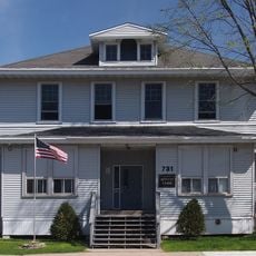
Virginia–Rainy Lake Lumber Company Office
39.6 km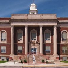
Virginia City Hall
39.6 km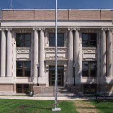
St. Louis County District Courthouse
39.4 km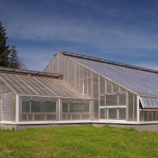
Olcott Park Greenhouse
40.3 km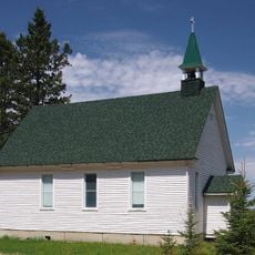
Church of St. Joseph
22.7 km
Western Bohemian Fraternal Union Hall
22.6 km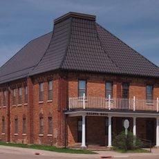
Kaleva Hall
40 km
Camp Esquagama
36.1 km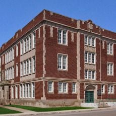
Lincoln School Building
39.8 km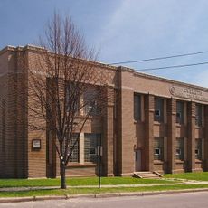
Eveleth Manual Training School
33.1 km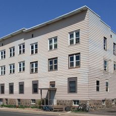
Jukola Boardinghouse
39.8 km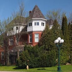
Charles Lenont House
39.8 km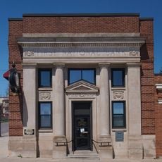
First National Bank of Gilbert
35.7 km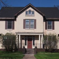
Coates House
38.9 km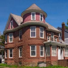
W. Bailey House
33 km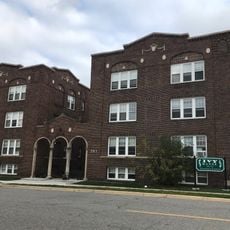
LaSalle Apartments
39.8 km
Virginia Commercial Historic District
39.7 km
W.T. Bailey House
38.9 km
United States Hockey Hall of Fame
33.9 kmBewertungen
Diesen Ort besucht? Tippe auf die Sterne, um ihn zu bewerten und deine Erfahrung oder Fotos mit der Community zu teilen! Jetzt ausprobieren! Sie können jederzeit kündigen.
Entdecke verborgene Schätze auf jedem Abenteuer!
Von charmanten kleinen Cafés bis zu versteckten Aussichtspunkten – entfliehe dem Touristentrubel und finde Orte, die wirklich zu dir passen. Unsere App macht's dir leicht: Sprachsuche, clevere Filter, optimierte Routen und echte Geheimtipps von Reisenden weltweit. Jetzt runterladen und das Abenteuer mobil erleben!

Ein neuer Ansatz für touristische Entdeckungen❞
— Le Figaro
Alle Orte, die eine Entdeckung wert sind❞
— France Info
Ein maßgeschneiderter Ausflug mit nur wenigen Klicks❞
— 20 Minutes