32-36, High Street, building in Newcastle upon Tyne, Tyne and Wear, UK
Ort: Newcastle upon Tyne
Adresse: 32-36, High Street, Newcastle upon Tyne, Tyne and Wear, NE3
GPS Koordinaten: 55.00248,-1.61925
Neueste Aktualisierung: 10. November 2025 um 21:41
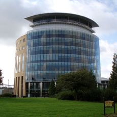
Partnership House
981 m
Jubilee Theatre
1 km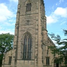
Church of All Saints
373 m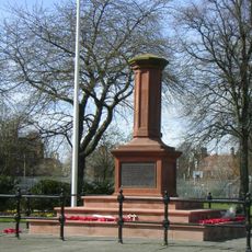
Gosforth Central Park
400 m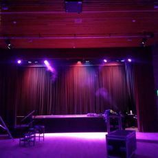
Gosforth Civic Theatre
888 m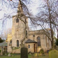
Church of St Nicholas
777 m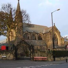
Roman Catholic Church of St Charles, Attached Presbytery and Boundary Wall to South and South West
569 m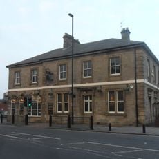
The County Hotel
137 m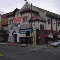
Globe Cinema
554 m
1-4 Castle Farm Cottages
1 km
Gosforth War Memorial Pillar
355 m
Town Moor Boundary Stone Opposite Number 73
741 m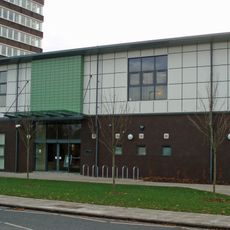
Gosforth Library
925 m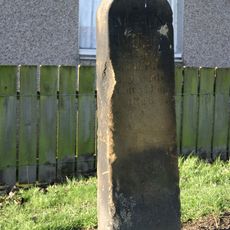
Main Dike Stone
881 m
Racquet Court
913 m
2, The Drive
230 m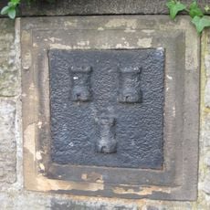
Boundary Mark In Wall At Junction With South Side Of Moorfield
744 m
Police Stables
1 km
23-33, The Grove
170 m
62-70, The Drive
443 m
38-52, High Street
59 m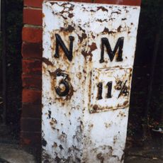
Milepost, Great North Road, by Gosforth Central Middle School field
936 m
Flats With Projecting Walls And Steps And Garages
171 m
7-21, The Grove
113 m
1 and 2, Roseworth Terrace
133 m
Castle Farm Cottages Number 5 And Farm Building Attached
1 km
Newcastle-upon-Tyne observatory
925 m
Kunstwerk
293 mDiesen Ort besucht? Tippe auf die Sterne, um ihn zu bewerten und deine Erfahrung oder Fotos mit der Community zu teilen! Jetzt ausprobieren! Sie können jederzeit kündigen.
Entdecke verborgene Schätze auf jedem Abenteuer!
Von charmanten kleinen Cafés bis zu versteckten Aussichtspunkten – entfliehe dem Touristentrubel und finde Orte, die wirklich zu dir passen. Unsere App macht's dir leicht: Sprachsuche, clevere Filter, optimierte Routen und echte Geheimtipps von Reisenden weltweit. Jetzt runterladen und das Abenteuer mobil erleben!

Ein neuer Ansatz für touristische Entdeckungen❞
— Le Figaro
Alle Orte, die eine Entdeckung wert sind❞
— France Info
Ein maßgeschneiderter Ausflug mit nur wenigen Klicks❞
— 20 Minutes