
35-49 Arnold Road and area railings
35-49 Arnold Road and area railings, terrace of houses in London Borough of Tower Hamlets, UK
Ort: London Borough of Tower Hamlets
GPS Koordinaten: 51.52574,-0.02176
Neueste Aktualisierung: 4. März 2025 um 12:45

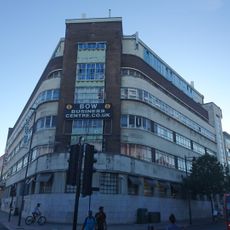
Former Poplar Town Hall (Bow House)
313 m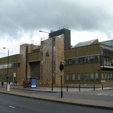
Thames Magistrates' Court
206 m
116 Bow Road and area railings
311 m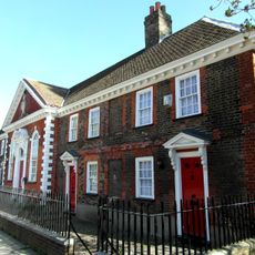
Drapers Almshouses And Chapel
225 m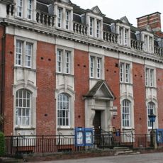
Police Station And Stables
259 m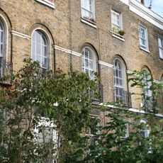
69-95, Bow Road E3
290 m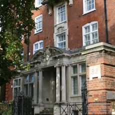
Tredegar House
277 m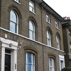
13 and 15 Campbell Road and area railings
159 m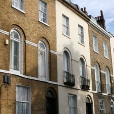
101-109, Bow Road E3
265 m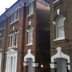
9-20, Mornington Grove E3
139 m
5, Wellington Way E3
214 m
21 and 23 Campbell Road and area railings
129 m
17 and 19 Campbell Road and area railings
141 m
10 and 12, Stroudley Walk
339 m
25, Campbell Road E3
122 m
Poplar Chest Clinic 1 Wellington Way
224 m
Boundary Wall To Tower Hamlets Cemetery
269 m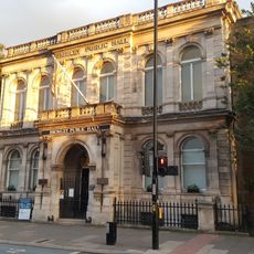
Bromley Public Hall
292 m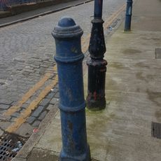
Seven Bollards
288 m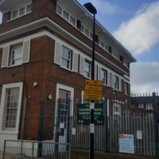
The Children's House (Nursery School)
304 m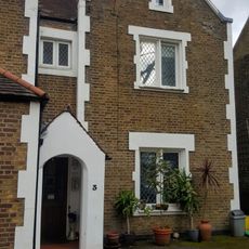
3, Wellington Way E3
220 m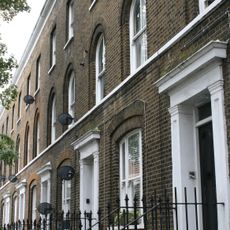
6-44, Campbell Road E3
103 m
K6 Telephone Kiosk, Outside 38 Bow Road
315 m
Wall Across Southern End Of Street
106 m
Garden Walls And Piers
129 m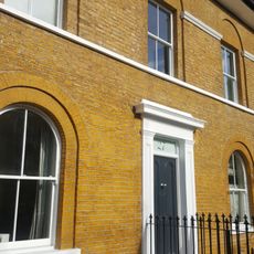
27, Campbell Road E3
117 m
1-25 Tomlins Grove and area railings and gate piers
112 m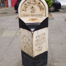
Milepost, Bow Road E3, opp. Wellington Way
325 mDiesen Ort besucht? Tippe auf die Sterne, um ihn zu bewerten und deine Erfahrung oder Fotos mit der Community zu teilen! Jetzt ausprobieren! Sie können jederzeit kündigen.
Entdecke verborgene Schätze auf jedem Abenteuer!
Von charmanten kleinen Cafés bis zu versteckten Aussichtspunkten – entfliehe dem Touristentrubel und finde Orte, die wirklich zu dir passen. Unsere App macht's dir leicht: Sprachsuche, clevere Filter, optimierte Routen und echte Geheimtipps von Reisenden weltweit. Jetzt runterladen und das Abenteuer mobil erleben!

Ein neuer Ansatz für touristische Entdeckungen❞
— Le Figaro
Alle Orte, die eine Entdeckung wert sind❞
— France Info
Ein maßgeschneiderter Ausflug mit nur wenigen Klicks❞
— 20 Minutes