
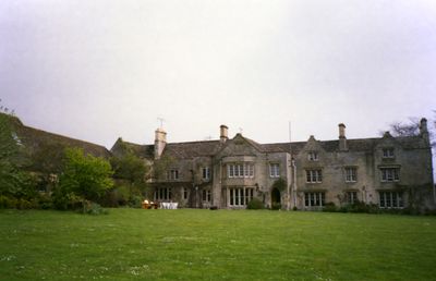
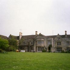
The Manor and attached outbuildings, englisches Landhaus im Vereinigten Königreich
Ort: Shipton-on-Cherwell and Thrupp
GPS Koordinaten: 51.84554,-1.30488
Neueste Aktualisierung: 4. März 2025 um 22:39
Manor Studio
11 m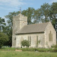
Church of St Giles
485 m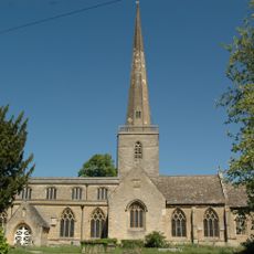
Church of St Mary
2.5 km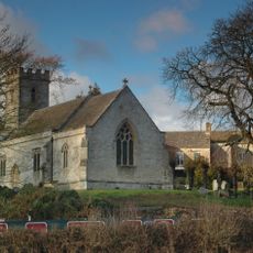
Church of Holy Cross
55 m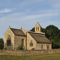
Church of St Mary
2.1 km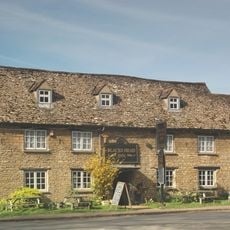
The Blacks Head Public House
2.5 km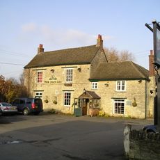
The Boat Public House
757 m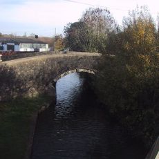
Canal Bridge Approximately 60 Metres West Of The Rock Of Gibraltar Public House
1.7 km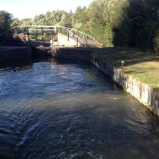
Bridge At Shipton Weir Lock, Oxford Canal
887 m
Thrupp Yard Cottages and attched outbuilding
744 m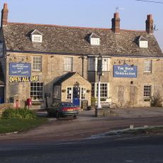
Rock Of Gibraltar Public House
1.7 km
Shipton Lift Bridge (219) Sp 4850 1675, Oxford Canal
556 m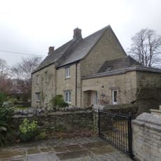
Old Priest's House
2.5 km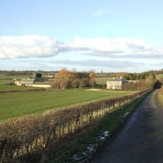
Lower Whitehill Farmhouse
2.3 km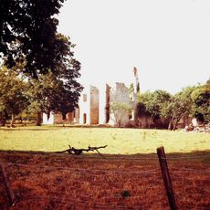
Ruins of Manor House
643 m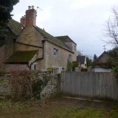
The Old Manor House
2.4 km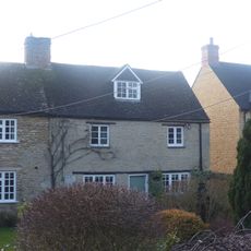
Glendale
2.4 km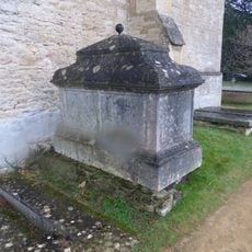
Chest tomb approximately 1/2 metre west of Church of St Mary
2.5 km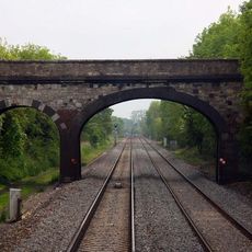
Railway Bridge At Sp 4832 1529
1.3 km
Manor Farmhouse
903 m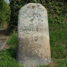
Milestone On Banbury Road, Kidlington
2 km
Poyle Court
2.4 km
Model Farmhouse
2.5 km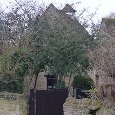
Dovecote and granary approximately 15 metres east of Manor Farmhouse
668 m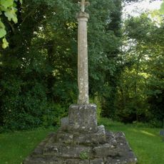
Shipton-on-Cherwell churchyard cross
48 m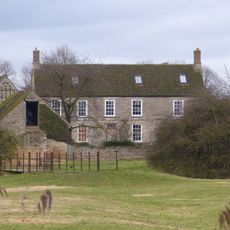
Manor Farmhouse
2.1 km
Outbuilding approximately 5 metres north west of Manor Farmhouse
2.1 km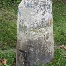
Milestone, Banbury Road; by No.118 & 120
2 kmBewertungen
Diesen Ort besucht? Tippe auf die Sterne, um ihn zu bewerten und deine Erfahrung oder Fotos mit der Community zu teilen! Jetzt ausprobieren! Sie können jederzeit kündigen.
Entdecke verborgene Schätze auf jedem Abenteuer!
Von charmanten kleinen Cafés bis zu versteckten Aussichtspunkten – entfliehe dem Touristentrubel und finde Orte, die wirklich zu dir passen. Unsere App macht's dir leicht: Sprachsuche, clevere Filter, optimierte Routen und echte Geheimtipps von Reisenden weltweit. Jetzt runterladen und das Abenteuer mobil erleben!

Ein neuer Ansatz für touristische Entdeckungen❞
— Le Figaro
Alle Orte, die eine Entdeckung wert sind❞
— France Info
Ein maßgeschneiderter Ausflug mit nur wenigen Klicks❞
— 20 Minutes