
Boundary Stone Opposite Entrance To Rowley Mills
Boundary Stone Opposite Entrance To Rowley Mills, boundary marker in Kirkburton, Kirklees, West Yorkshire, UK
Ort: Kirkburton
Teil von: political border
GPS Koordinaten: 53.62442,-1.71868
Neueste Aktualisierung: 6. März 2025 um 14:11

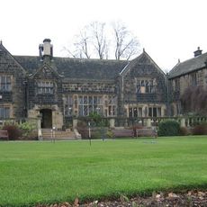
Woodsome Hall
698 m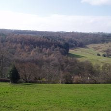
Myers Wood
1.7 km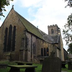
Church of All Hallows
2.1 km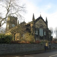
Parish Church of All Hallows, Almondbury
2 km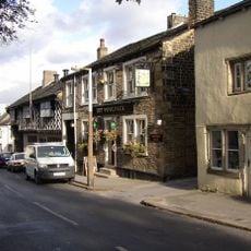
The Woolpack Public House
2 km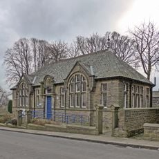
Almondbury Library
2.1 km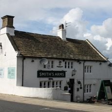
Smiths Arms Public House
803 m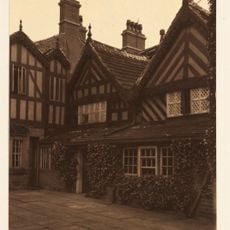
Fenny Hall
1.4 km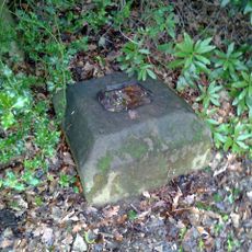
Cross Socket On South Side To Fenny Hall
1.5 km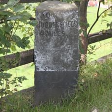
Milestone 100 Yards To North Of Junction With Far Dean
424 m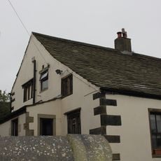
2, Town Gate
824 m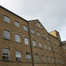
Springfield Mill
1.3 km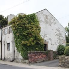
46 And 48, Town Gate
916 m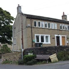
31 And 33, Far Dean
677 m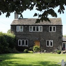
118, Paddock Road
1.8 km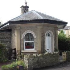
Lodge At Springfield Mill
1.3 km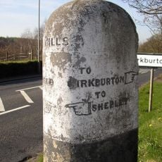
Guide Post At Junction With Riley Lane
2.2 km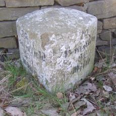
Milestone Opposite Number 31
1.1 km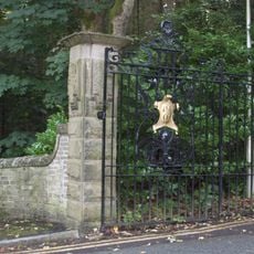
Gate Piers And Gates At The Lodge
1.4 km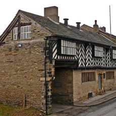
Wormalls Hall
2 km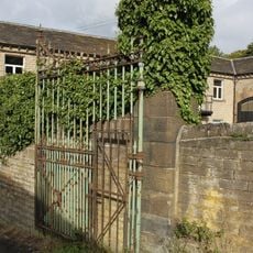
Gateway With Gate And Gate Piers At East Lodge
1.3 km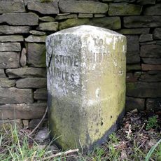
Milestone
2 km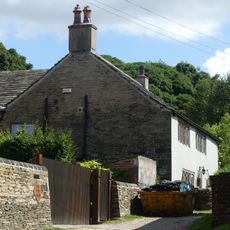
Yew Tree Farm
2.1 km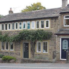
21, Far Dean
625 m
The Lodge
1.4 km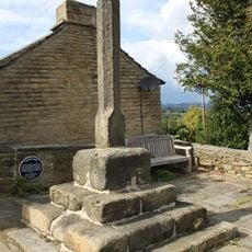
Burton Cross
808 m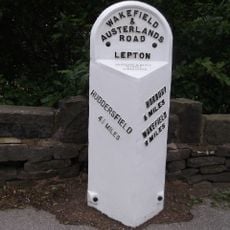
3.25 Miles Post In Front Of Football Ground
1.2 km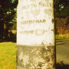
Guidestone, Penistone Road, jct with Ripley Lane; Kirkburton
2.2 kmBewertungen
Diesen Ort besucht? Tippe auf die Sterne, um ihn zu bewerten und deine Erfahrung oder Fotos mit der Community zu teilen! Jetzt ausprobieren! Sie können jederzeit kündigen.
Entdecke verborgene Schätze auf jedem Abenteuer!
Von charmanten kleinen Cafés bis zu versteckten Aussichtspunkten – entfliehe dem Touristentrubel und finde Orte, die wirklich zu dir passen. Unsere App macht's dir leicht: Sprachsuche, clevere Filter, optimierte Routen und echte Geheimtipps von Reisenden weltweit. Jetzt runterladen und das Abenteuer mobil erleben!

Ein neuer Ansatz für touristische Entdeckungen❞
— Le Figaro
Alle Orte, die eine Entdeckung wert sind❞
— France Info
Ein maßgeschneiderter Ausflug mit nur wenigen Klicks❞
— 20 Minutes