
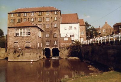
The Corn Mill, mill building in Stamford Bridge, East Riding of Yorkshire, UK
Ort: Stamford Bridge
GPS Koordinaten: 53.99163,-0.91318
Neueste Aktualisierung: 2. März 2025 um 22:22

HM Prison Full Sutton
3.2 km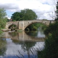
Stamford Bridge
209 m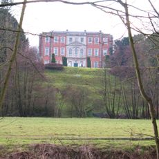
Aldby Park
3.3 km
Church of St Mary
2.3 km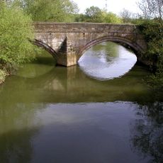
Kexby Old Bridge
4.6 km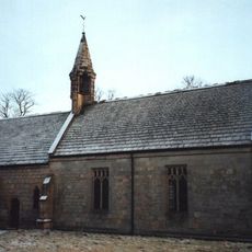
Church of St John the Evangelist
3.2 km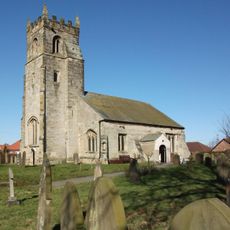
Church of St John the Baptist
5 km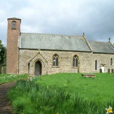
Church of Saint Mary
4 km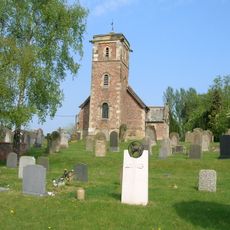
Church of the Holy Trinity
4.1 km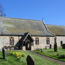
Church of Saint Peter and Saint Paul
5.2 km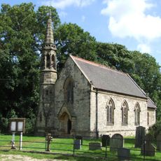
Church of Saint Paul
4.8 km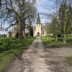
Church of St Mary
3.5 km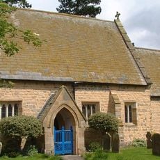
Church of St Mary
3.4 km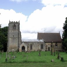
Church of All Saints
1.8 km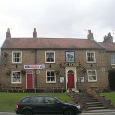
Bay Horse Inn
70 m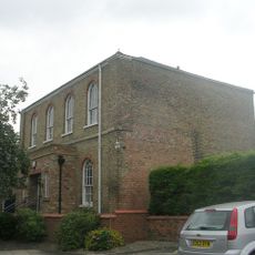
Wesleyan Methodist Chapel
133 m
Milestone, W of Gate Helmsley
1.6 km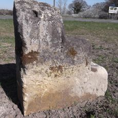
Milestone, W of Kexby
5 km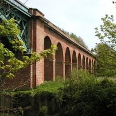
Stamford Bridge Railway Viaduct
520 m
Sand Hutton and Claxton War Memorial
3.8 km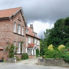
The Old Rectory
1.9 km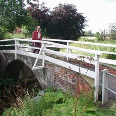
Church Bridge
5 km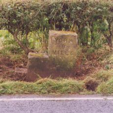
Milestone, Concrete Post, W of entrance to High Burtonfields Farm
1.4 km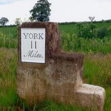
Milestone At Se 758562
4.4 km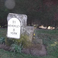
Milestone, Main Street Wilberfoss
4.9 km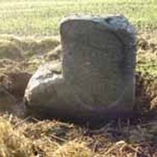
Milestone, just W of Full Sutton jct.
2.9 km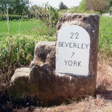
Milestone, just W of Catton Lane jct.
4.3 km
Milestone, Carved Stone Post, W of entrance to High Burtonfields Farm
1.4 kmBewertungen
Diesen Ort besucht? Tippe auf die Sterne, um ihn zu bewerten und deine Erfahrung oder Fotos mit der Community zu teilen! Jetzt ausprobieren! Sie können jederzeit kündigen.
Entdecke verborgene Schätze auf jedem Abenteuer!
Von charmanten kleinen Cafés bis zu versteckten Aussichtspunkten – entfliehe dem Touristentrubel und finde Orte, die wirklich zu dir passen. Unsere App macht's dir leicht: Sprachsuche, clevere Filter, optimierte Routen und echte Geheimtipps von Reisenden weltweit. Jetzt runterladen und das Abenteuer mobil erleben!

Ein neuer Ansatz für touristische Entdeckungen❞
— Le Figaro
Alle Orte, die eine Entdeckung wert sind❞
— France Info
Ein maßgeschneiderter Ausflug mit nur wenigen Klicks❞
— 20 Minutes