Manor Farmhouse, Bauernhaus im Vereinigten Königreich
Ort: St. Paul Malmesbury Without
GPS Koordinaten: 51.55337,-2.11125
Neueste Aktualisierung: 17. November 2025 um 10:14
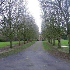
Cole Park
2.2 km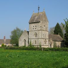
Church of the Holy Rood
1.1 km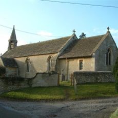
Church of All Saints
213 m
Former Coach House And Attached Garden Wall In The Courtyard To The North West Of Cole Park
2.2 km
Bridge, Gatepiers, Gates And Moat Wall To The North Of Cole Park
2.2 km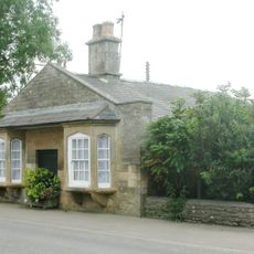
Pike House
2.2 km
Lynian
234 m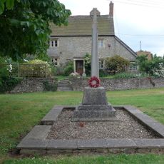
Corston and Rodbourne War Memorial Cross
153 m
The Old School
1.1 km
The Radnor Arms
154 m
Whiteheath House
913 m
Rodbourne House
1.4 km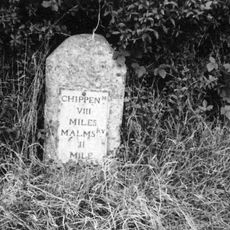
Milestone At Ngr 924836
588 m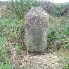
Milestone At Ngr 912838
927 m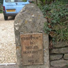
Milestone, 4 Metres To The North Of Pike House At Ngr 938853
2 km
Former Stables In The North East Corner Of The Courtyard At Cole Park
2.2 km
The Hermitage
149 m
The Dower House
989 m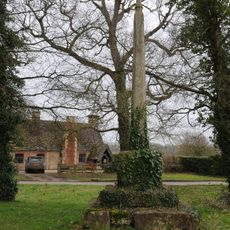
Village Cross
1.1 km
Barn At Kingway Farm
1.6 km
Firs Farmhouse And Boundary Wall And Railings
251 m
Two Monuments In The Churchyard, 10 Metres North Of Nave, Church Of All Saints
223 m
The Moat House
2.2 km
Cottage 40 Yards South Of Bridge, On East Side Of Road The Gables
280 m
Outbuildings To The North East Of The Dower House
1 km
Trinity Farmhouse
1 km
Radnor Cottage
152 m
Harries Ground, Rodbourne
1.7 kmBewertungen
Diesen Ort besucht? Tippe auf die Sterne, um ihn zu bewerten und deine Erfahrung oder Fotos mit der Community zu teilen! Jetzt ausprobieren! Sie können jederzeit kündigen.
Entdecke verborgene Schätze auf jedem Abenteuer!
Von charmanten kleinen Cafés bis zu versteckten Aussichtspunkten – entfliehe dem Touristentrubel und finde Orte, die wirklich zu dir passen. Unsere App macht's dir leicht: Sprachsuche, clevere Filter, optimierte Routen und echte Geheimtipps von Reisenden weltweit. Jetzt runterladen und das Abenteuer mobil erleben!

Ein neuer Ansatz für touristische Entdeckungen❞
— Le Figaro
Alle Orte, die eine Entdeckung wert sind❞
— France Info
Ein maßgeschneiderter Ausflug mit nur wenigen Klicks❞
— 20 Minutes