
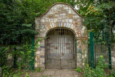
Stone Garden Shelter At High Elms Country Park, architectural structure in Bromley, Greater London, UK
Ort: London Borough of Bromley
GPS Koordinaten: 51.34968,0.07480
Neueste Aktualisierung: 11. März 2025 um 00:28

Down House
2.5 km
Holwood House
2.2 km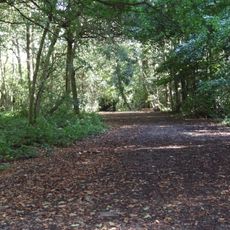
High Elms Country Park
148 m
Crofton Roman Villa
2.7 km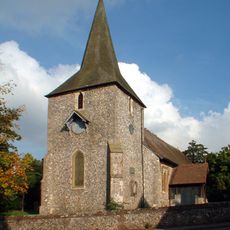
St Mary's Church, Downe
2.1 km
Downe Bank
2.3 km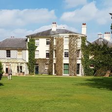
Home of Charles Darwin - Down House
2.5 km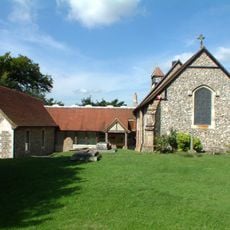
Keston Parish Church
2.7 km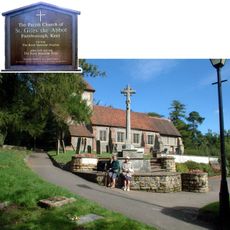
Church of St Giles the Abbot
932 m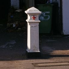
Coal Taxpost Outside Baptist Church
1 km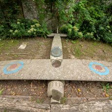
Captain Eric Lubbock Memorial
260 m
St Nicholas
1.8 km
Ice Well
241 m
Eton Fives Court
189 m
Chelsfield Hall Farmhouse
1.1 km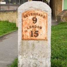
Milestone At Junction Of Sevenoaks Road With Farnborough Hill
1.2 km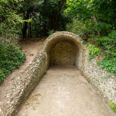
Grotto At High Elms Country Park
60 m
Lilac House Pondfield House
2.3 km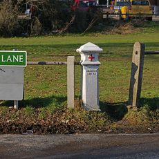
Coal Taxpost At Junction With Warren Road
1.5 km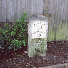
Milestone Adjacent To Electricity Sub Station
1.2 km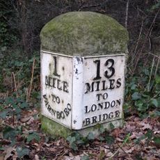
Milestone At Tq 4286 6514
2.6 km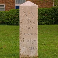
Milestone At Corner Of Dalton Close And Tubbenden Lane
2.4 km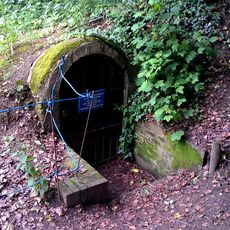
High Elms ice house 130m south of Flint Lodge
237 m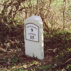
Milestone At Tq 4671 6228
1.8 km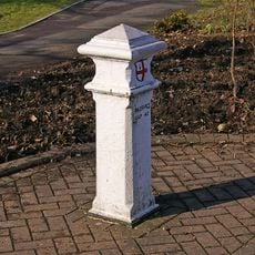
Coal Taxpost At Junction With Farnborough Hill
1.2 km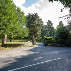
4 Gate Piers And Wrought Iron Railings
389 m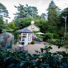
Old Lodge
350 m
Milestone, Farnborough Common, Locks Bottom, 130m W of Fantail jct
2.6 kmDiesen Ort besucht? Tippe auf die Sterne, um ihn zu bewerten und deine Erfahrung oder Fotos mit der Community zu teilen! Jetzt ausprobieren! Sie können jederzeit kündigen.
Entdecke verborgene Schätze auf jedem Abenteuer!
Von charmanten kleinen Cafés bis zu versteckten Aussichtspunkten – entfliehe dem Touristentrubel und finde Orte, die wirklich zu dir passen. Unsere App macht's dir leicht: Sprachsuche, clevere Filter, optimierte Routen und echte Geheimtipps von Reisenden weltweit. Jetzt runterladen und das Abenteuer mobil erleben!

Ein neuer Ansatz für touristische Entdeckungen❞
— Le Figaro
Alle Orte, die eine Entdeckung wert sind❞
— France Info
Ein maßgeschneiderter Ausflug mit nur wenigen Klicks❞
— 20 Minutes