
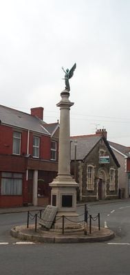
Kenfig Hill War Memorial, Grade II listed building in Bridgend County Borough. The memorial stands as a traffic island at the junction of Princes Road and Commercial Road, known as 'top cross', at the centre of Kenfig Hill
Ort: Pyle
Höhe über dem Meer: 70,7 m
GPS Koordinaten: 51.53323,-3.67800
Neueste Aktualisierung: 4. März 2025 um 01:37
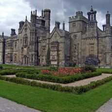
Margam Castle
4.6 km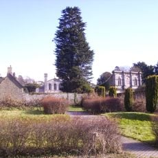
Margam Country Park
4.7 km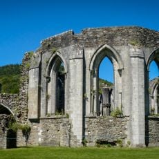
Margam Abbey
4.8 km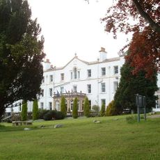
Court Colman Manor
4.7 km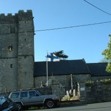
St David's Church
4.9 km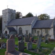
St James's Church
1.2 km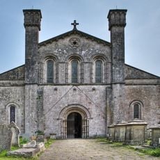
St Mary's Abbey Church
4.9 km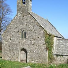
Church of St Tudwg
4.6 km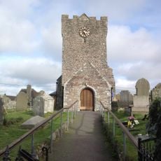
St Mary Magdalene's Church
3.2 km
Pen y Castell, Kenfig Hill
573 m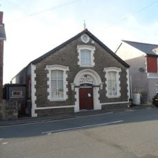
The Talbot Institute
36 m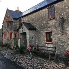
The Laleston Inn
4.8 km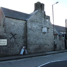
Tŷ Mawr Aka The Great House
4.9 km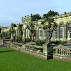
Margam Orangery
4.9 km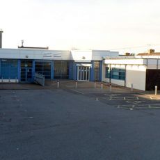
Pyle Life Centre
947 m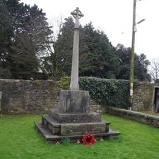
War Memorial
4.9 km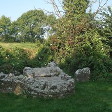
St David's Well aka Ffynnon Dewi
4.6 km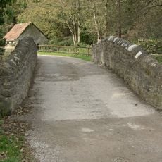
Bridge near Llanmihangel Mill
1.8 km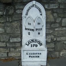
Milepost
4.9 km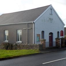
Wesleyan Methodist Chapel
1.2 km
Gate piers to Tythegston Court
4.5 km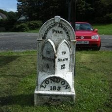
Mile marker on A48, Pyle to Margam Road
1.1 km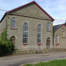
Pyle Calvinistic Methodist Chapel, Capel Y Pîl, And Schoolroom, With Forecourt Railings.
1.9 km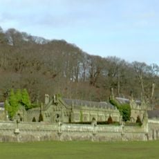
Service Buildings Including Courtyard Walls At Margam Castle
4.6 km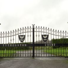
Tythegston Court
4.5 km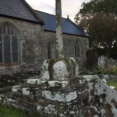
Churchyard Cross in St David's churchyard
4.9 km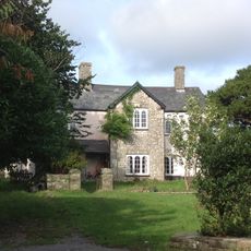
The Hall Farm
2.1 km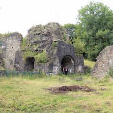
Cefn Cribwr Ironworks, The Furnace And Charging House
1.5 kmDiesen Ort besucht? Tippe auf die Sterne, um ihn zu bewerten und deine Erfahrung oder Fotos mit der Community zu teilen! Jetzt ausprobieren! Sie können jederzeit kündigen.
Entdecke verborgene Schätze auf jedem Abenteuer!
Von charmanten kleinen Cafés bis zu versteckten Aussichtspunkten – entfliehe dem Touristentrubel und finde Orte, die wirklich zu dir passen. Unsere App macht's dir leicht: Sprachsuche, clevere Filter, optimierte Routen und echte Geheimtipps von Reisenden weltweit. Jetzt runterladen und das Abenteuer mobil erleben!

Ein neuer Ansatz für touristische Entdeckungen❞
— Le Figaro
Alle Orte, die eine Entdeckung wert sind❞
— France Info
Ein maßgeschneiderter Ausflug mit nur wenigen Klicks❞
— 20 Minutes