
West Bedlington, civil parish in Northumberland, England
Ort: Northumberland
GPS Koordinaten: 55.12700,-1.60700
Neueste Aktualisierung: 8. März 2025 um 11:45
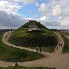
Northumberlandia
4.5 km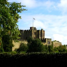
Bothal Castle
5.2 km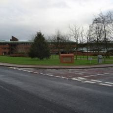
County Hall
5.7 km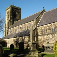
Church of St Nicholas
4.8 km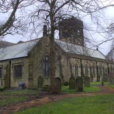
Church of St Cuthbert
952 m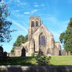
Church of St Mary the Virgin
4.6 km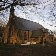
Church of St Paul The Apostle
2.5 km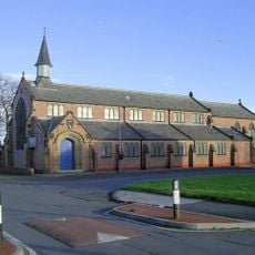
Parish Church of St. John
3.1 km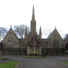
Pair Of Chapels In Cowpen Cemetery
4.9 km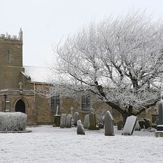
Church of St Mary
2.9 km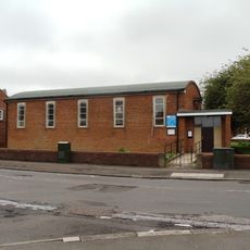
St Aidan
5.8 km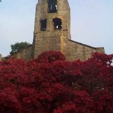
Church of St Andrew
5.3 km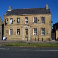
The Grapes
862 m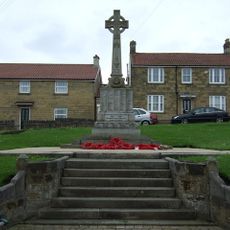
Bedlington War Memorial
840 m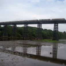
North Seaton Viaduct
5.1 km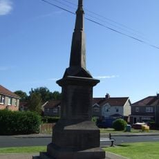
Guide Post War Memorial
3.6 km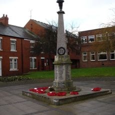
Cramlington War Memorial in Village Square
4.8 km
Bothal War Memorial
5.3 km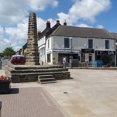
The Cross
909 m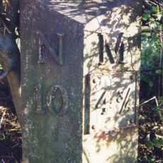
Milepost East Of Road 80 Metres South Of Swan Farmhouse
4.5 km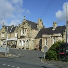
Old Station Buildings (Greens Agricultural Merchants)
6.2 km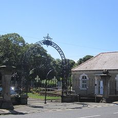
Gates And Screen Wall At Entrance To Cowpen Cemetery
5 km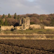
Bothal Castle Remains Of Curtain Wall To South Of Residential Block
5.1 km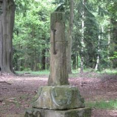
Medieval Cross Remains In North Wood
5.4 km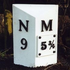
Milepost East Of Road 50 Metres North Of Blagdon North Lodge
5.1 km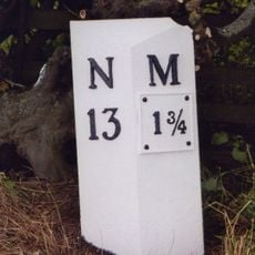
Milepost 500 Metres South Of Catchburn Farm
5.4 km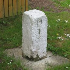
Milestone, Turner Square, Morpeth
5.6 km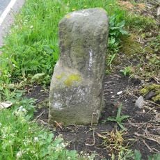
Milestone, Cramlington, nr roundabout jct with A1068
2.5 kmBewertungen
Diesen Ort besucht? Tippe auf die Sterne, um ihn zu bewerten und deine Erfahrung oder Fotos mit der Community zu teilen! Jetzt ausprobieren! Sie können jederzeit kündigen.
Entdecke verborgene Schätze auf jedem Abenteuer!
Von charmanten kleinen Cafés bis zu versteckten Aussichtspunkten – entfliehe dem Touristentrubel und finde Orte, die wirklich zu dir passen. Unsere App macht's dir leicht: Sprachsuche, clevere Filter, optimierte Routen und echte Geheimtipps von Reisenden weltweit. Jetzt runterladen und das Abenteuer mobil erleben!

Ein neuer Ansatz für touristische Entdeckungen❞
— Le Figaro
Alle Orte, die eine Entdeckung wert sind❞
— France Info
Ein maßgeschneiderter Ausflug mit nur wenigen Klicks❞
— 20 Minutes