
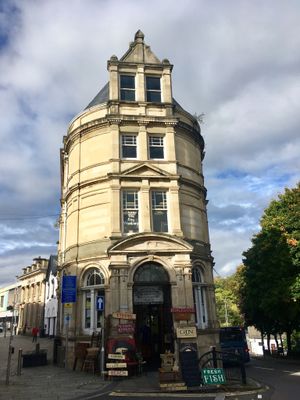
Barclay's Bank, Grade II listed building in Torfaen County Borough. In Pontypool town centre at the north end of Commercial Street at the junction with Park Road
Höhe über dem Meer: 132,6 m
GPS Koordinaten: 51.70288,-3.04093
Neueste Aktualisierung: 9. März 2025 um 17:55
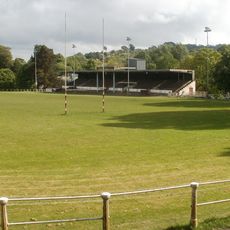
Pontypool Park
477 m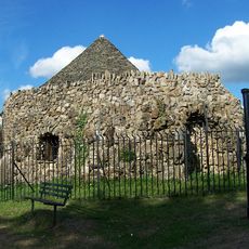
Shell Grotto
1.3 km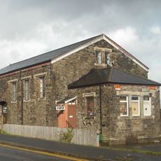
Griffithstown Railway Museum
1.3 km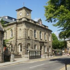
Town Hall
180 m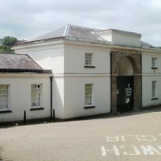
Torfaen Museum
127 m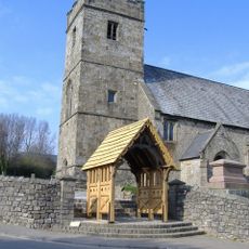
Church of St. Cadoc
1.1 km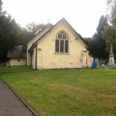
Church Of St Michael And All Angels
2 km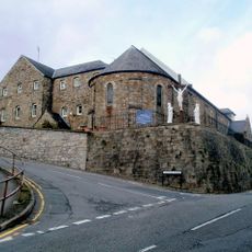
St. Alban's R.C. Church
418 m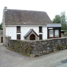
Penygarn Baptist Chapel
677 m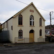
Upper Trosnant Baptist Church
346 m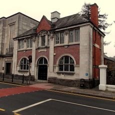
Pontypool Library
163 m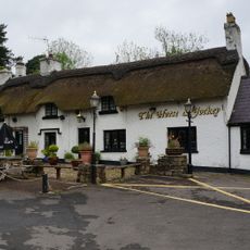
The Horse and Jockey P H
2 km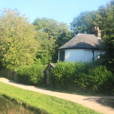
Junction House at Pontymoile Canal Basin, Monmouthshire and Brecon Canal
1.3 km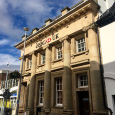
Midland Bank
34 m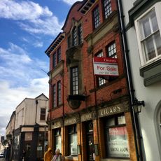
The George
33 m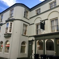
The Greyhound PH
25 m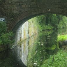
Canal Bridge at Coed-y-Gric
1.5 km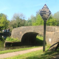
Bridge 53 at Pontymoile Basin, Monmouthshire and Brecon Canal
1.3 km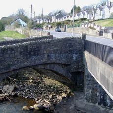
Pont Newynydd
1 km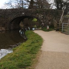
Bridge 56, Monmouthshire and Brecon Canal
1.7 km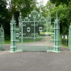
Entrance Gates To Pontypool Park.
1 km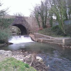
Aqueduct over Afon Lwyd, Monmouthshire and Brecon Canal
1.4 km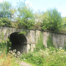
Old railway bridge at Coed-y-Gric
1.5 km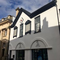
Old Market House (Second Thoughts)
22 m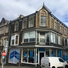
Manchester House, including Mayberry Pharmacy and the Good Job Club
95 m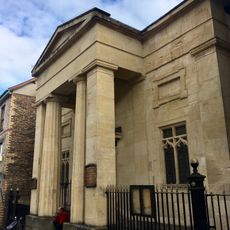
Crane Street Baptist Chapel
72 m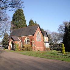
Panteg Cemetery Chapel
1.5 km
Rustic Lodge in American Gardens
1.2 kmDiesen Ort besucht? Tippe auf die Sterne, um ihn zu bewerten und deine Erfahrung oder Fotos mit der Community zu teilen! Jetzt ausprobieren! Sie können jederzeit kündigen.
Entdecke verborgene Schätze auf jedem Abenteuer!
Von charmanten kleinen Cafés bis zu versteckten Aussichtspunkten – entfliehe dem Touristentrubel und finde Orte, die wirklich zu dir passen. Unsere App macht's dir leicht: Sprachsuche, clevere Filter, optimierte Routen und echte Geheimtipps von Reisenden weltweit. Jetzt runterladen und das Abenteuer mobil erleben!

Ein neuer Ansatz für touristische Entdeckungen❞
— Le Figaro
Alle Orte, die eine Entdeckung wert sind❞
— France Info
Ein maßgeschneiderter Ausflug mit nur wenigen Klicks❞
— 20 Minutes