
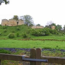
Camp House, hillfort in Northumberland
Ort: Northumberland
GPS Koordinaten: 55.13379,-1.78228
Neueste Aktualisierung: 7. April 2025 um 20:12
Mitford Castle
4.4 km
Kirkley Hall
5.1 km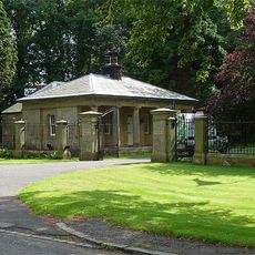
Mitford Hall
4.1 km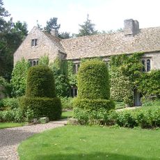
Ogle Castle
3.2 km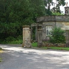
Meldon Park
4.6 km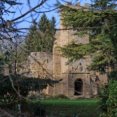
Mitford Old Manor House
4.4 km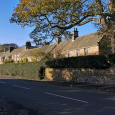
Whalton Manor
1 km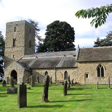
Church of St Andrew
4.7 km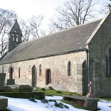
Church of St John the Baptist
2.6 km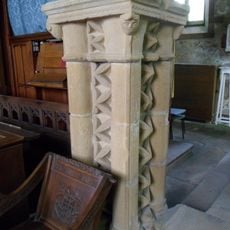
Church of St Mary Magdalene
1.3 km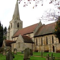
Church of St Mary Magdalene
4.5 km
Lodge At Entrance To Meldon Park
4.8 km
Foss Bridge Over The River Wansbeck
4.6 km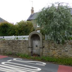
Drinking Fountain 30 Metres East Of Post Office
5 km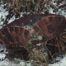
Milepost Opposite West Edington
1.4 km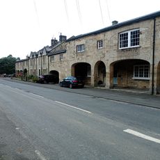
The Arcade
5.1 km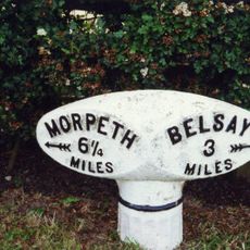
Milepost 100 Metres East Of Whiteside North
1.5 km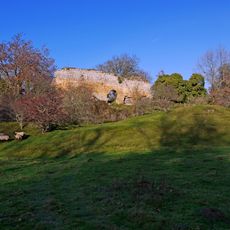
Mitford Castle. Remains Of East Curtain Wall
4.5 km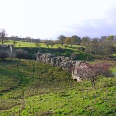
Mitford Castle. Remains Of West Curtain Wall Buildings
4.4 km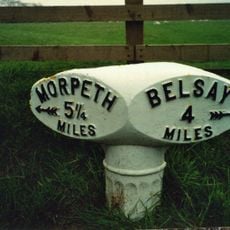
Milepost 30 Metres West Of Camp House
113 m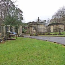
Piers And Screen Walls At Entrance To Meldon Park
4.8 km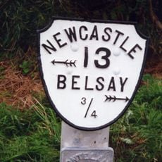
Milepost On North Side Of Shiningpool Bridge
4.6 km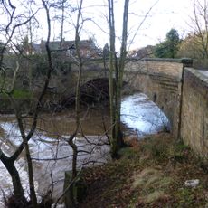
Mitford Bridge, Over The River Font
5.1 km
The Lodge
4.3 km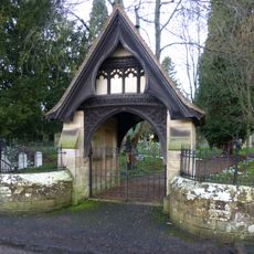
Lych Gate And Attached Churchyard Wall To South Of Church Of St Mary Magdalene
4.5 km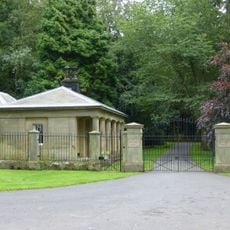
Screen Wall And Piers At Entrance To Mitford Hall
4.3 km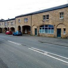
The Arcade
5.1 km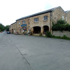
The Arcade
5.1 kmBewertungen
Diesen Ort besucht? Tippe auf die Sterne, um ihn zu bewerten und deine Erfahrung oder Fotos mit der Community zu teilen! Jetzt ausprobieren! Sie können jederzeit kündigen.
Entdecke verborgene Schätze auf jedem Abenteuer!
Von charmanten kleinen Cafés bis zu versteckten Aussichtspunkten – entfliehe dem Touristentrubel und finde Orte, die wirklich zu dir passen. Unsere App macht's dir leicht: Sprachsuche, clevere Filter, optimierte Routen und echte Geheimtipps von Reisenden weltweit. Jetzt runterladen und das Abenteuer mobil erleben!

Ein neuer Ansatz für touristische Entdeckungen❞
— Le Figaro
Alle Orte, die eine Entdeckung wert sind❞
— France Info
Ein maßgeschneiderter Ausflug mit nur wenigen Klicks❞
— 20 Minutes