
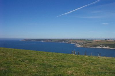
Erme Estuary Marine Conservation Zone, UK marine area established to protect nationally important, rare or threatened habitats and species
Gründung: 31. Mai 2019
GPS Koordinaten: 50.30556,-3.95028
Neueste Aktualisierung: 1. April 2025 um 11:51
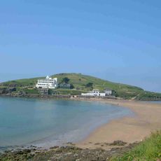
Burgh Island
4.6 km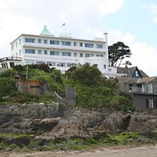
Burgh Island Hotel
4.7 km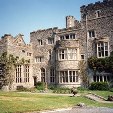
Flete House
4.8 km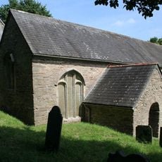
St. Peter’s Anglican Church
4.8 km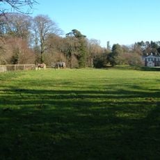
Gnaton Hall
4.3 km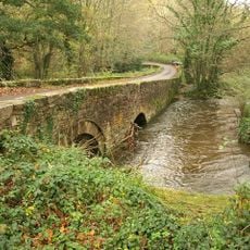
Puslinch Bridge
5.8 km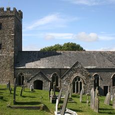
Church of St James the Less
2.5 km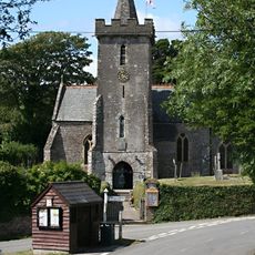
Church of All Hallows
4.1 km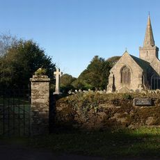
Church of St Lawrence
5.6 km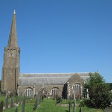
Church of All Saints
3.3 km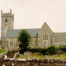
Church of St Bartholomew
5.9 km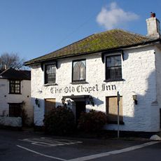
The Old Chapel Inn
5.1 km
Journey's End Inn
4 km
Bridge Approximately 290 Metres North East Of Mothecombe House
1.1 km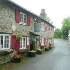
Dolphin Inn
2.5 km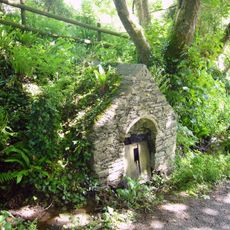
St Mary's Well
4.2 km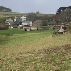
Mothecombe House
992 m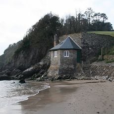
Mothecombe Beach
506 m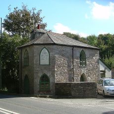
Yealm Bridge Toll House
5.5 km
Flete Lodge
5.4 km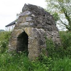
Yealm Bridge Toll Hut
5.5 km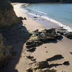
Wonwell Beach
676 m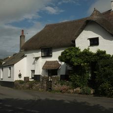
The Old Forge
3 km
Two Pairs Of Gate Piers And Flanking Walls, Immediately North East Of Flete Lodge
5.4 km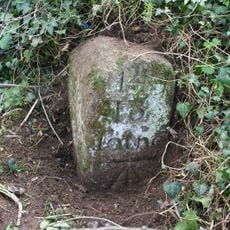
Milestone Approximately 680 Metres East Of Yealm Bridge
5.4 km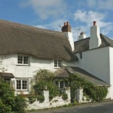
The Farriers
3 km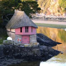
Boathouse At Mouth Of River Avon At Sx 664439
5.9 km
Puslinch House
5.8 kmDiesen Ort besucht? Tippe auf die Sterne, um ihn zu bewerten und deine Erfahrung oder Fotos mit der Community zu teilen! Jetzt ausprobieren! Sie können jederzeit kündigen.
Entdecke verborgene Schätze auf jedem Abenteuer!
Von charmanten kleinen Cafés bis zu versteckten Aussichtspunkten – entfliehe dem Touristentrubel und finde Orte, die wirklich zu dir passen. Unsere App macht's dir leicht: Sprachsuche, clevere Filter, optimierte Routen und echte Geheimtipps von Reisenden weltweit. Jetzt runterladen und das Abenteuer mobil erleben!

Ein neuer Ansatz für touristische Entdeckungen❞
— Le Figaro
Alle Orte, die eine Entdeckung wert sind❞
— France Info
Ein maßgeschneiderter Ausflug mit nur wenigen Klicks❞
— 20 Minutes