
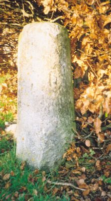
Milestone, Church Road; end of drive to Church Road House, milestone in Bletchingdon, Cherwell, UK
Ort: Cherwell
Gründung: 18. Jahrhundert
GPS Koordinaten: 51.85820,-1.26450
Neueste Aktualisierung: 4. März 2025 um 21:55
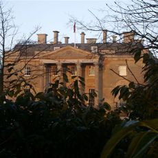
Bletchingdon Park
218 m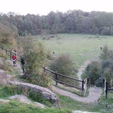
Kirtlington Quarry
2.3 km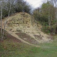
White-Limestone-Formation
2.3 km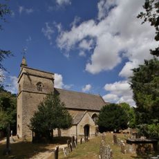
Church of St Giles, Bletchingdon
118 m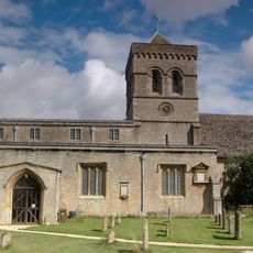
Church of St Mary, Kirtlington
1.7 km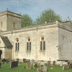
Church of St Mary
2.4 km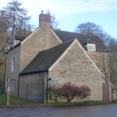
Park Gate House
305 m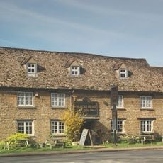
The Blacks Head Public House
651 m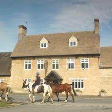
The Dashwood Arms Public House
1.9 km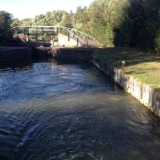
Bridge At Shipton Weir Lock, Oxford Canal
2.2 km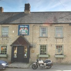
The Oxford Arms Public House And Adjoining Cottage
1.8 km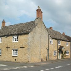
Old Red Lion
625 m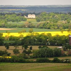
Kirtlington Park
1.9 km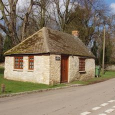
Squirrel's Drey
588 m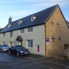
The Post Office Stores
601 m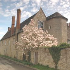
The Manor House And Attached Outbuilding Range
1.8 km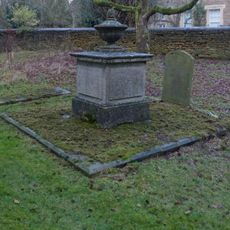
Chest tomb approximately 6 metres east of chancel of Church of St Giles
108 m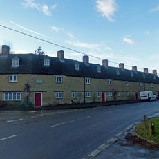
The Row
650 m
Manor Farmhouse
2.4 km
Poyle Court
2.5 km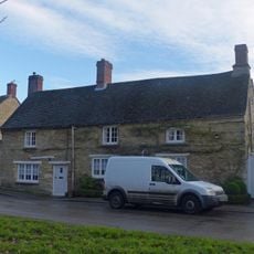
Monk's Head
471 m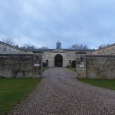
Bletchingdon Park, stables and attached walls approximately 150 metres east north east of Bletchingdon Park
122 m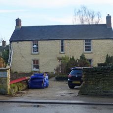
The Malt House
501 m
Model Farmhouse
2.4 km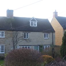
Glendale
681 m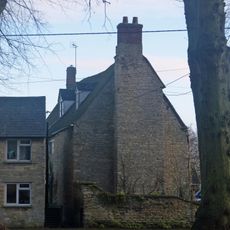
Village Farmhouse
558 m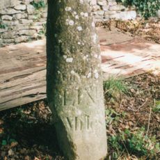
Milestone, by Church, on lane by Bletchingdon Park, in front of wall around church
92 m
Milestone, Islip Road; between Diamond Farm and Bletchingdon
713 mDiesen Ort besucht? Tippe auf die Sterne, um ihn zu bewerten und deine Erfahrung oder Fotos mit der Community zu teilen! Jetzt ausprobieren! Sie können jederzeit kündigen.
Entdecke verborgene Schätze auf jedem Abenteuer!
Von charmanten kleinen Cafés bis zu versteckten Aussichtspunkten – entfliehe dem Touristentrubel und finde Orte, die wirklich zu dir passen. Unsere App macht's dir leicht: Sprachsuche, clevere Filter, optimierte Routen und echte Geheimtipps von Reisenden weltweit. Jetzt runterladen und das Abenteuer mobil erleben!

Ein neuer Ansatz für touristische Entdeckungen❞
— Le Figaro
Alle Orte, die eine Entdeckung wert sind❞
— France Info
Ein maßgeschneiderter Ausflug mit nur wenigen Klicks❞
— 20 Minutes