
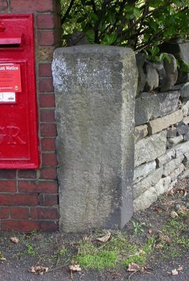
Guidestone, Stocksmoor, Cross Lane, guide stone in Kirkburton, Kirklees, UK
Ort: Kirklees
Gründung: 18. Jahrhundert
GPS Koordinaten: 53.59437,-1.72952
Neueste Aktualisierung: 3. März 2025 um 03:47
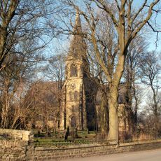
Church of St Thomas, Thurstonland
1.4 km
Low Fold Farm The Post Office (The Village)
1.5 km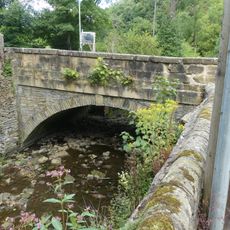
Thunder Bridge
957 m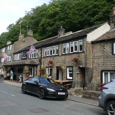
The Woodman Public House
1 km
Lumb House Farmhouse
999 m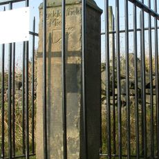
Old Milestone
1.5 km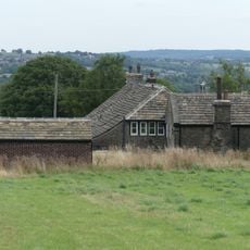
Marsh Hall Farmhouse and barn
1.5 km
152 and 154, Penistone Road
1.5 km
5, 9 and 11, Thunder Bridge Lane
1.1 km
18 and 20, Dam Hill
1.3 km
50 and 52, The Village
1.4 km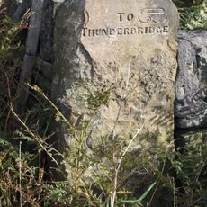
Old Guide Post At Junction With Wood Lane
1 km
54, The Village
1.4 km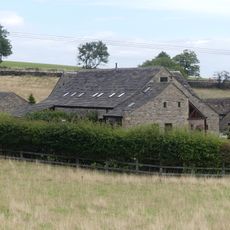
Dairy 100 yards to west of Blake House
1.4 km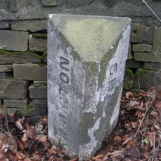
Boundary Stone 150 Yards South Of Junction With Riley Lane
1.6 km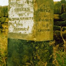
Old Guide Post At Junction With Ing Head Lane
687 m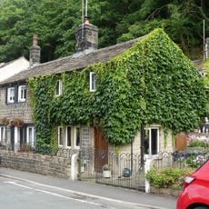
15 and 17, Thunder Bridge Lane
1 km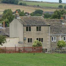
4, The Village
1.6 km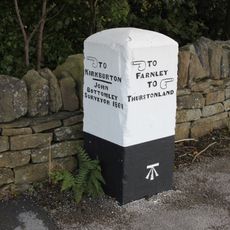
Old Guide Post At Junction With Stores Hall Road
1.3 km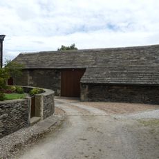
Barn 10 yards to east of Number 9 Upper Fold Farmhouse
1.6 km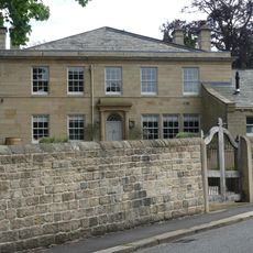
Birks Gate and attached outbuildings
921 m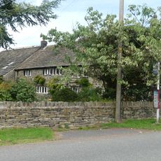
Marsh Hall
1.5 km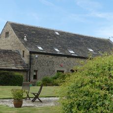
Barn 100 yards to north of Blake House
1.4 km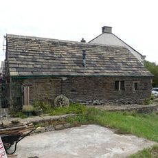
Small former barn now adjoining Number 5 Upper Fold Farmhouse
1.6 km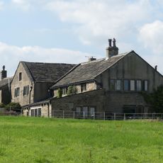
Moor View Farmhouse
1.6 km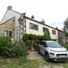
Upper Fold Farmhouse
1.6 km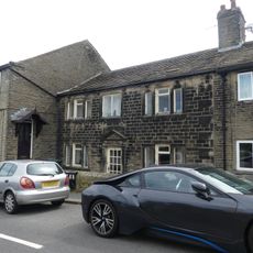
60, The Village
1.4 km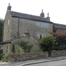
72, The Village
1.4 kmBewertungen
Diesen Ort besucht? Tippe auf die Sterne, um ihn zu bewerten und deine Erfahrung oder Fotos mit der Community zu teilen! Jetzt ausprobieren! Sie können jederzeit kündigen.
Entdecke verborgene Schätze auf jedem Abenteuer!
Von charmanten kleinen Cafés bis zu versteckten Aussichtspunkten – entfliehe dem Touristentrubel und finde Orte, die wirklich zu dir passen. Unsere App macht's dir leicht: Sprachsuche, clevere Filter, optimierte Routen und echte Geheimtipps von Reisenden weltweit. Jetzt runterladen und das Abenteuer mobil erleben!

Ein neuer Ansatz für touristische Entdeckungen❞
— Le Figaro
Alle Orte, die eine Entdeckung wert sind❞
— France Info
Ein maßgeschneiderter Ausflug mit nur wenigen Klicks❞
— 20 Minutes