Yatesbury House Farmhouse, Bauernhaus im Vereinigten Königreich
Windmill Hill
2.1 km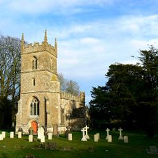
Church of All Saints
525 m
Saucer barrow 250m east of Windmill Hill: part of the Windmill Hill round barrow cemetery
2.3 km
Pair of round barrows 200m SSE of Windmill Hill: part of the Windmill Hill round barrow cemetery.
2.1 km
A causewayed enclosure, the core of a round barrow cemetery, part of a prehistoric field system and an associated mortuary enclo
1.8 km
Bowl barrow 200m south of Windmill Hill: part of the Windmill Hill round barrow cemetery.
1.9 km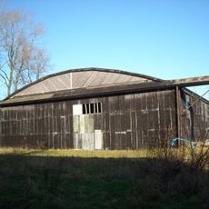
Two Former Hangars On North Side Of Former Airfield
1.6 km
Bowl barrow 230m west of The Grange, Beckhampton
2.6 km
The Manor House
537 m
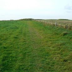
Cross dyke 520m north east of Cherhill Monument
2.5 km
Tudor Thatch
278 m
Nolands Farmhouse
1.4 km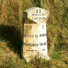
Milestone Approximately 0.75 Miles West Of The Beckhampton Roundabout
2.4 km
Bowl barrow 350m north-east of White Horse Plantation
2.1 km
Pair of bowl barrows on West Down, 550m east of Witch Plantation
2.5 km
Horslip long barrow, 450m north-west of Horslip Bridge.
2 km
Bowl barrow 200m east of Windmill Hill: part of the Windmill Hill round barrow cemetery.
2.2 km
Pair of round barrows and section of linear earthwork NE of the gallops on West Down
2.3 km
Bowl barrow 190m north east of Nolands Farm, Yatesbury
1.2 km
Former Hangar At North East Corner Of Former Airfield
1.2 km
Two bowl barrows 320m south-east of Little London
545 m
Bowl barrow 750m south-west of Manor Farm: part of the Windmill Hill round barrow cemetery
2.4 km
Combined Officers Mess And Offices, Yatesbury Airfield
1.8 km
Bowl barrow 400m west of Cooks Plantation
1.9 km
Linear boundary earthwork and associated field system on Cherhill Down
2 km
The Old Rectory
1 km
Granary At Manor Farm
494 m
Manor House
424 mDiesen Ort besucht? Tippe auf die Sterne, um ihn zu bewerten und deine Erfahrung oder Fotos mit der Community zu teilen! Jetzt ausprobieren! Sie können jederzeit kündigen.
Entdecke verborgene Schätze auf jedem Abenteuer!
Von charmanten kleinen Cafés bis zu versteckten Aussichtspunkten – entfliehe dem Touristentrubel und finde Orte, die wirklich zu dir passen. Unsere App macht's dir leicht: Sprachsuche, clevere Filter, optimierte Routen und echte Geheimtipps von Reisenden weltweit. Jetzt runterladen und das Abenteuer mobil erleben!

Ein neuer Ansatz für touristische Entdeckungen❞
— Le Figaro
Alle Orte, die eine Entdeckung wert sind❞
— France Info
Ein maßgeschneiderter Ausflug mit nur wenigen Klicks❞
— 20 Minutes