
Sidariškio akmuo
Ort: Rokiškis District Municipality
GPS Koordinaten: 55.79106,25.65367
Neueste Aktualisierung: 25. September 2025 um 08:41
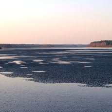
Sartai Regional Park
10.2 km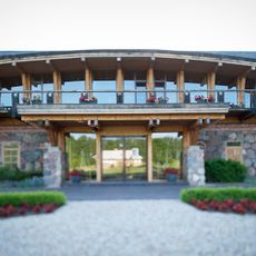
Vasaknai Manor
14.6 km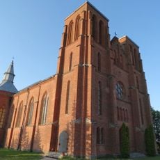
Church of St. Casimir, Kamajai
9.6 km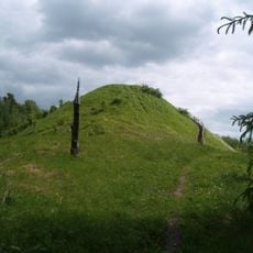
Šeimyniškiai hillfort
14.8 km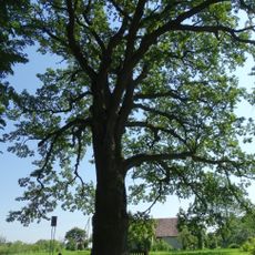
Bradesių ąžuolas
14.7 km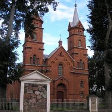
Church of the Holy Trinity, Dusetos
12.7 km
Rudžių piliakalnis
10.8 km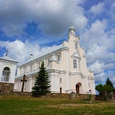
Church of St. Michael the Archangel, Jūžintai
2.4 km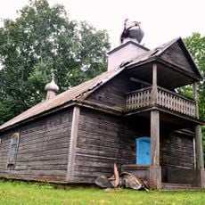
Old Believers Church in Bobriškis
10.6 km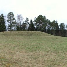
Velikuškių I piliakalnis
13 km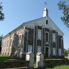
Church of the Providence of God in Kriaunos
11.1 km
Velikuškės 2nd hillfort
14 km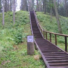
Pakačinės hillfort
14.7 km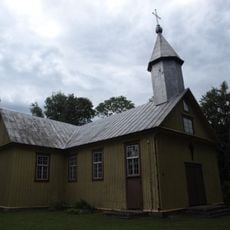
Church of St. Anne, Duokiškis
9.8 km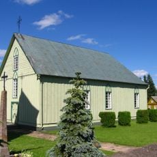
Church of the Blessed Virgin Mary, Rageliai
9.4 km
Baušiškių piliakalnis
7 km
Pakriaunio akmuo
12.5 km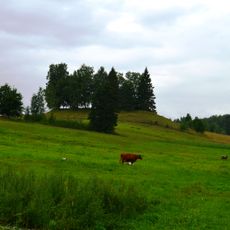
Petrešiūnai hillfort
6.8 km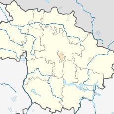
Rudžių akmuo
11.4 km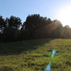
Dauliūnų piliakalnis
4.6 km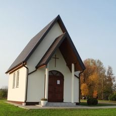
Kalviai chapel
12.8 km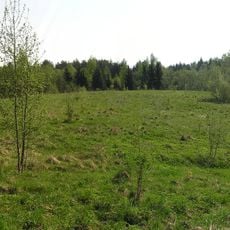
Antažiegė hillfort
10 km
Kamajai churchyard chapel
9.6 km
Mikniūnų akmuo
11 km
Bikūnų II piliakalnis
14.7 km
Kurkliečių II tvenkinys
10.9 km
Laukagalių tvenkinys
9 km
Duokiškio tvenkinys
9.2 kmBewertungen
Diesen Ort besucht? Tippe auf die Sterne, um ihn zu bewerten und deine Erfahrung oder Fotos mit der Community zu teilen! Jetzt ausprobieren! Sie können jederzeit kündigen.
Entdecke verborgene Schätze auf jedem Abenteuer!
Von charmanten kleinen Cafés bis zu versteckten Aussichtspunkten – entfliehe dem Touristentrubel und finde Orte, die wirklich zu dir passen. Unsere App macht's dir leicht: Sprachsuche, clevere Filter, optimierte Routen und echte Geheimtipps von Reisenden weltweit. Jetzt runterladen und das Abenteuer mobil erleben!

Ein neuer Ansatz für touristische Entdeckungen❞
— Le Figaro
Alle Orte, die eine Entdeckung wert sind❞
— France Info
Ein maßgeschneiderter Ausflug mit nur wenigen Klicks❞
— 20 Minutes