
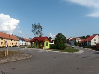
Horní Újezd, Gemeinde in Tschechien
Ort: Přerov District
Ort: správní obvod obce s rozšířenou působností Hranice
Höhe über dem Meer: 335 m
Grenzt an: Loukov, Vítonice, Osíčko, Všechovice, Provodovice, Býškovice
E-Mail: hujezd@c-box.cz
Website: http://horni-ujezd.cz
GPS Koordinaten: 49.44829,17.72720
Neueste Aktualisierung: 9. März 2025 um 14:31
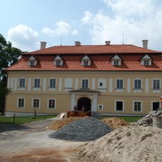
Všechovice Castle
2.7 km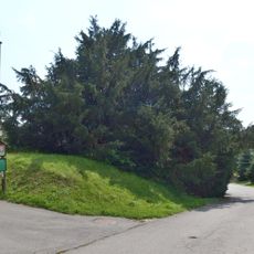
Všechovický tis
2.7 km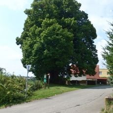
Lípa Jana Jiskry z Brandýsa
4.4 km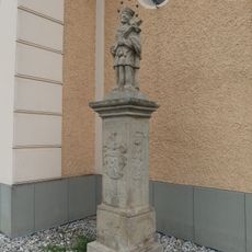
Socha svatého Jana Nepomuckého
5.3 km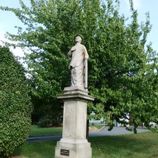
Socha svatého Vavřince
3 km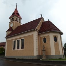
Church of the Immaculate Conception
5.3 km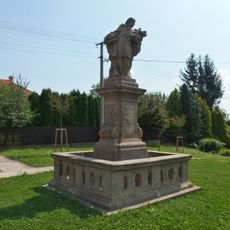
Socha svatého Jana Nepomuckého
4.7 km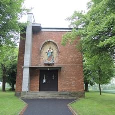
Chapel of Saints Cyril and Methodius in Komárno
4.5 km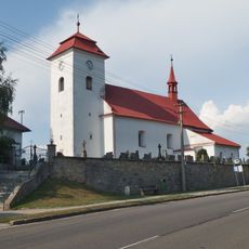
Church of Saint Wenceslaus
2.8 km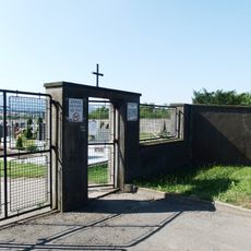
Cemetery in Všechovice
3.2 km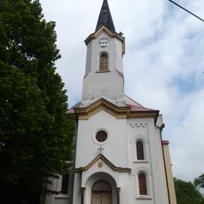
Church of Saints Cyril and Methodius
2.6 km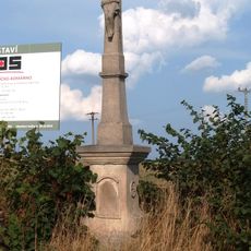
Kříž
2.9 km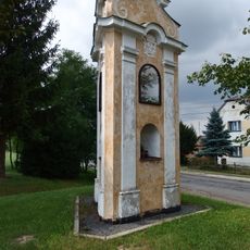
Boží muka
2.3 km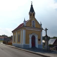
Chapel of Saint Anthony of Padua
4 km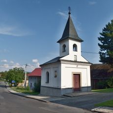
Chapel of Saint Anne
2.2 km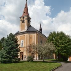
Church of Holy Trinity
2.8 km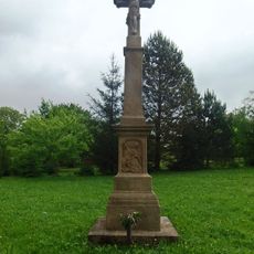
Zelený kříž
1.9 km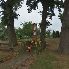
Boží muka
5.3 km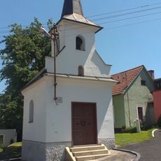
Chapel of Saint Mary
2.8 km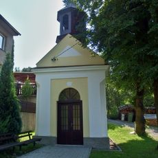
Kaple Panny Marie
5.7 km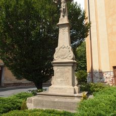
Krucifix
2.8 km
Lipová alej v Komárně
3.8 km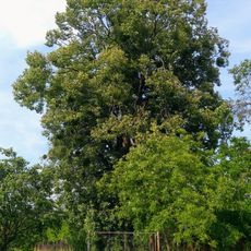
Lípa ve Vítonicích
2.4 km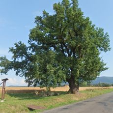
Dub Na Záhonkách
2.4 km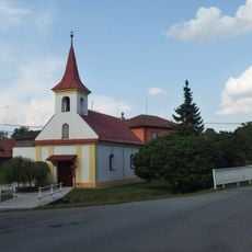
Chapel of Saint Anne
2.4 km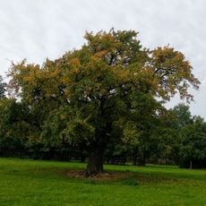
Hrušeň pod Javorníkem
5.2 km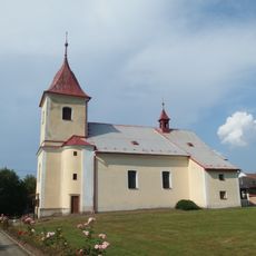
Church of the Nativity of the Virgin Mary
326 m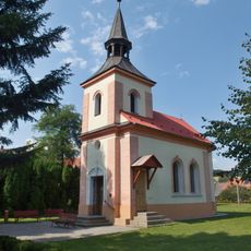
Chapel of the Visitation
4.9 kmBewertungen
Diesen Ort besucht? Tippe auf die Sterne, um ihn zu bewerten und deine Erfahrung oder Fotos mit der Community zu teilen! Jetzt ausprobieren! Sie können jederzeit kündigen.
Entdecke verborgene Schätze auf jedem Abenteuer!
Von charmanten kleinen Cafés bis zu versteckten Aussichtspunkten – entfliehe dem Touristentrubel und finde Orte, die wirklich zu dir passen. Unsere App macht's dir leicht: Sprachsuche, clevere Filter, optimierte Routen und echte Geheimtipps von Reisenden weltweit. Jetzt runterladen und das Abenteuer mobil erleben!

Ein neuer Ansatz für touristische Entdeckungen❞
— Le Figaro
Alle Orte, die eine Entdeckung wert sind❞
— France Info
Ein maßgeschneiderter Ausflug mit nur wenigen Klicks❞
— 20 Minutes