
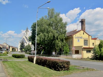
Bochoř, Gemeinde in Tschechien
Ort: Přerov District
Ort: správní obvod obce s rozšířenou působností Přerov
Höhe über dem Meer: 204 m
Grenzt an: Vlkoš, Záříčí, Troubky, Věžky, Přerov
E-Mail: bochor.ou@iol.cz
Website: http://bochor.cz
GPS Koordinaten: 49.42138,17.42838
Neueste Aktualisierung: 27. März 2025 um 05:06
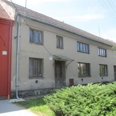
Vlkoš - statek
3.1 km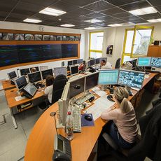
Centrální dispečerské pracoviště Přerov
2.9 km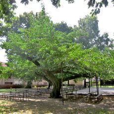
Ginkgo in Horní Moštěnice
3 km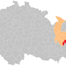
Přerov (klein district)
3.3 km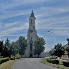
Church of Saint Florian
86 m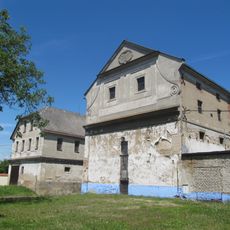
Vávrův mlýn
2.8 km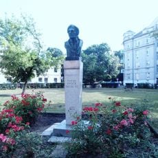
Pomník Františka Rasche
3.4 km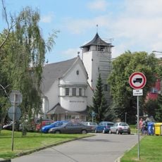
Evangelical church
3.6 km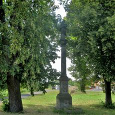
Socha svatého Jana Nepomuckého
2.6 km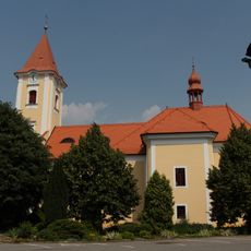
Church of the Assumption
2.4 km
Škola, gen. Štefánika 10
3.4 km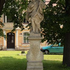
Socha svatého Floriána
2.5 km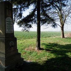
Pomník bojiště z roku 1866
4.2 km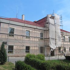
Zámek Horní Moštěnice
2.9 km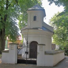
Chapel of Virgin Mary
1.6 km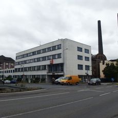
Administrativní budova S. M. E.
3.6 km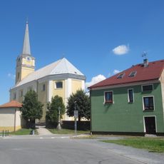
Church of Saint Procopius in Vlkoš
2.9 km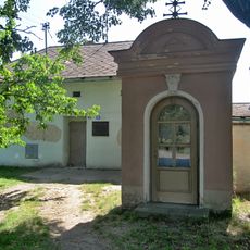
Chapel of Our Lady of Sorrows
3.4 km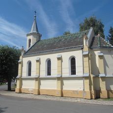
Chapel of the Assumption
1.9 km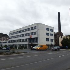
Městská elektrárna v Přerově
3.6 km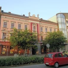
Činžovní dům S. M. E.
3.2 km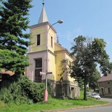
Chapel of the Exaltation of the Holy Cross
3.8 km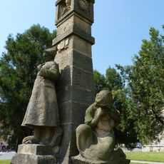
Pomník obětem 1. světové války
5.8 km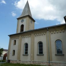
Church of Saint Margaret
5.9 km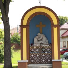
Chapel of Virgin Mary
2.3 km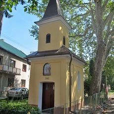
Chapel of Saints Cyril and Methodius
3.1 km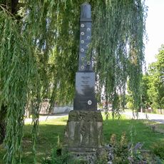
Pomník padlým v obou světových válkách u hlavní komunikace ve středu Vlkoše
3 km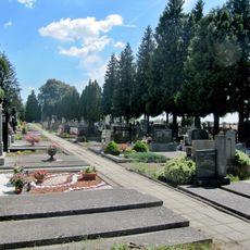
Hřbitov Bochoř
543 mBewertungen
Diesen Ort besucht? Tippe auf die Sterne, um ihn zu bewerten und deine Erfahrung oder Fotos mit der Community zu teilen! Jetzt ausprobieren! Sie können jederzeit kündigen.
Entdecke verborgene Schätze auf jedem Abenteuer!
Von charmanten kleinen Cafés bis zu versteckten Aussichtspunkten – entfliehe dem Touristentrubel und finde Orte, die wirklich zu dir passen. Unsere App macht's dir leicht: Sprachsuche, clevere Filter, optimierte Routen und echte Geheimtipps von Reisenden weltweit. Jetzt runterladen und das Abenteuer mobil erleben!

Ein neuer Ansatz für touristische Entdeckungen❞
— Le Figaro
Alle Orte, die eine Entdeckung wert sind❞
— France Info
Ein maßgeschneiderter Ausflug mit nur wenigen Klicks❞
— 20 Minutes