
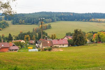
Žárovná, Gemeinde in Tschechien
Ort: Prachatice District
Ort: administrative district of the municipality with expanded powers Vimperk
Höhe über dem Meer: 725 m
Grenzt an: Lažiště, Vlachovo Březí, Radhostice, Šumavské Hoštice
E-Mail: obec@zarovna.cz
Website: http://zarovna.cz
GPS Koordinaten: 49.04629,13.89933
Neueste Aktualisierung: 3. März 2025 um 05:34
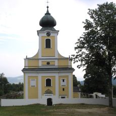
Church of Saint Adalbert
2.9 km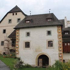
Drslavice Castle
2.8 km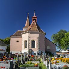
Church of Saint Nicholas
2.3 km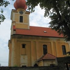
Church of Saints Philip and James
2 km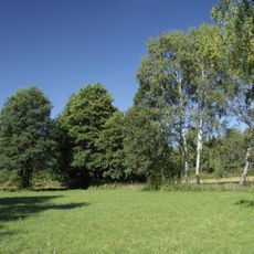
Polední
2.5 km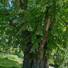
Lípa u Machova Mlýna
3.1 km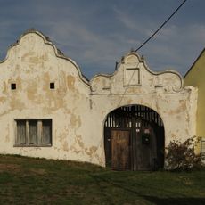
Usedlost čp. 9
2.3 km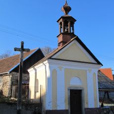
Chapel of Saint John of Nepomuk
3.9 km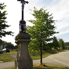
Kříž
2.1 km
Chapel of Saint Adalbert
2.7 km
Chapel of Saint John of Nepomuk
1.7 km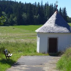
Chapel of Saint Adalbert in Lštění
2.7 km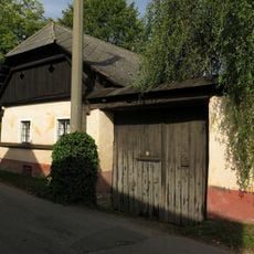
Usedlost čp. 16
2.3 km
Usedlost čp. 15
2.3 km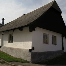
Usedlost čp. 22
2.3 km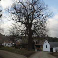
Lípa širokolistá
1.9 km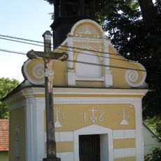
Chapel of Virgin Mary
3.9 km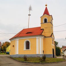
Chapel of Fourteen Holy Helpers
22 m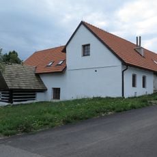
Usedlost čp. 1
853 m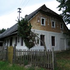
Kovárna
3.6 km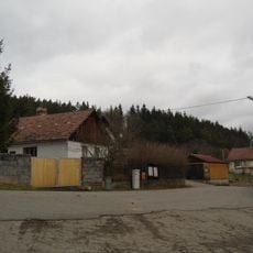
Usedlost čp. 3
1.8 km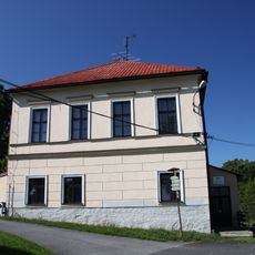
Fara
2.9 km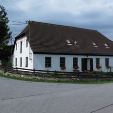
Usedlost čp. 25
2.5 km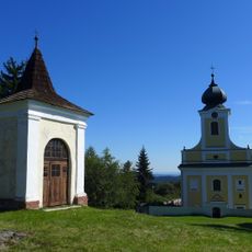
Hradiště
2.9 km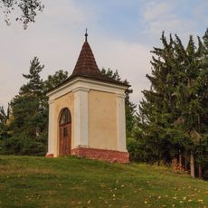
Kaple Nanebevzetí Panny Marie nad kostelem ve Lštění
2.9 km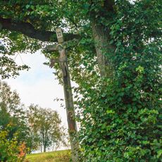
Kříž při západním okraji Lštění
3 km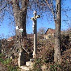
Kříž v Libotyni na staré křižovatce pod hlavní silnicí
3.9 km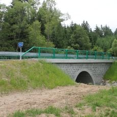
Road bridge over the Naháč between Buk and Svatá Maří
3.5 kmDiesen Ort besucht? Tippe auf die Sterne, um ihn zu bewerten und deine Erfahrung oder Fotos mit der Community zu teilen! Jetzt ausprobieren! Sie können jederzeit kündigen.
Entdecke verborgene Schätze auf jedem Abenteuer!
Von charmanten kleinen Cafés bis zu versteckten Aussichtspunkten – entfliehe dem Touristentrubel und finde Orte, die wirklich zu dir passen. Unsere App macht's dir leicht: Sprachsuche, clevere Filter, optimierte Routen und echte Geheimtipps von Reisenden weltweit. Jetzt runterladen und das Abenteuer mobil erleben!

Ein neuer Ansatz für touristische Entdeckungen❞
— Le Figaro
Alle Orte, die eine Entdeckung wert sind❞
— France Info
Ein maßgeschneiderter Ausflug mit nur wenigen Klicks❞
— 20 Minutes