
Podolí nad Olšavou, Gemeinde in Tschechien
Ort: Uherské Hradiště District
Ort: správní obvod obce s rozšířenou působností Uherské Hradiště
Höhe über dem Meer: 199 m
Grenzt an: Popovice, Veletiny, Vlčnov, Uherské Hradiště, Hluk
E-Mail: info@obecpodoli.cz
Website: http://obecpodoli.cz
GPS Koordinaten: 49.04081,17.52946
Neueste Aktualisierung: 10. März 2025 um 21:40


Veletiny-Stará Hora
3.1 km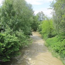
Olšava
1 km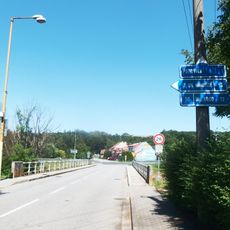
Most silnice III/05016 přes Olšavu v Podolí
390 m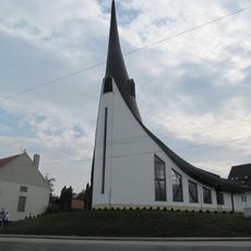
Chapel of Holy Spirit
452 m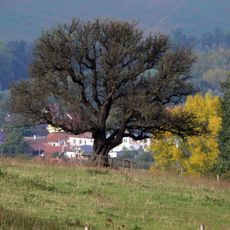
Hrušeň obecná
2.2 km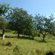
Stráně u Popovic
824 m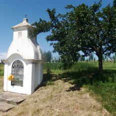
Výklenková kaplička - poklona
1.4 km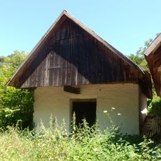
Vinná búda
3 km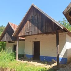
Vinná búda
3 km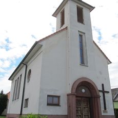
Church of Saint Agnes of Bohemia
2 km
Vinná búda
3.2 km
Vinná búda
3.3 km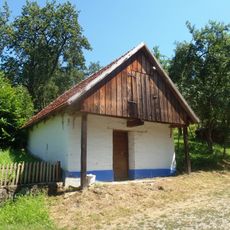
Vinná búda
3.5 km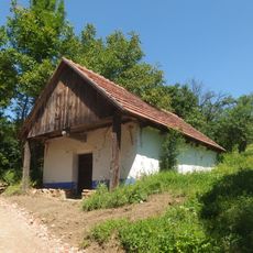
Vinná búda
3.3 km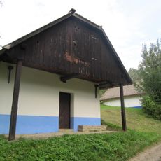
Vinná búda
3.3 km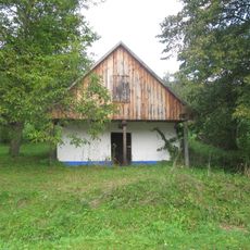
Vinná búda
3 km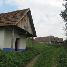
Vinná búda
3 km
Vinná búda - lisovna
3.3 km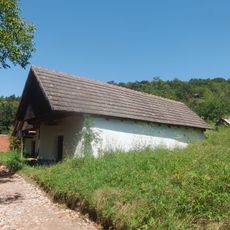
Vinná búda
3 km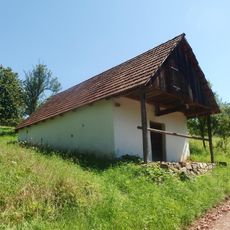
Vinná búda
3.1 km
Vinohradnická búda
3.3 km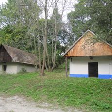
Vinná búda - lisovna
3.3 km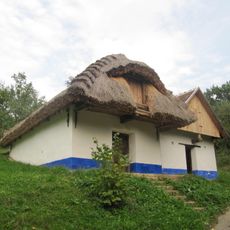
Vinná búda
3.4 km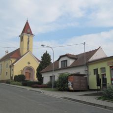
Church of the Virgin Mary of the Rosary
1.3 km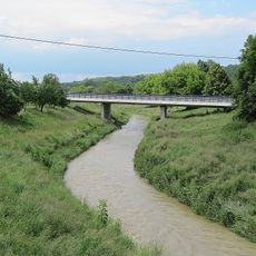
Western bridge of road I/50 over the Olšava in Veletiny
2.5 km
Vinná búda
3.4 km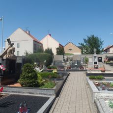
Cemetery in Popovice
1.2 km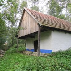
Vinná búda - lisovna
3.2 kmDiesen Ort besucht? Tippe auf die Sterne, um ihn zu bewerten und deine Erfahrung oder Fotos mit der Community zu teilen! Jetzt ausprobieren! Sie können jederzeit kündigen.
Entdecke verborgene Schätze auf jedem Abenteuer!
Von charmanten kleinen Cafés bis zu versteckten Aussichtspunkten – entfliehe dem Touristentrubel und finde Orte, die wirklich zu dir passen. Unsere App macht's dir leicht: Sprachsuche, clevere Filter, optimierte Routen und echte Geheimtipps von Reisenden weltweit. Jetzt runterladen und das Abenteuer mobil erleben!

Ein neuer Ansatz für touristische Entdeckungen❞
— Le Figaro
Alle Orte, die eine Entdeckung wert sind❞
— France Info
Ein maßgeschneiderter Ausflug mit nur wenigen Klicks❞
— 20 Minutes