
Pod Obrovou nohou, protected area in Czech Republic
Ort: Ondratice
Gründung: 1. August 1989
GPS Koordinaten: 49.37380,17.04840
Neueste Aktualisierung: 5. Mai 2025 um 09:42

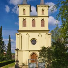
Otaslavice – kostel
1.9 km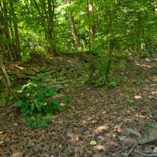
Melice
4.4 km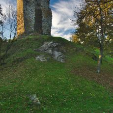
Dolní hrad
2 km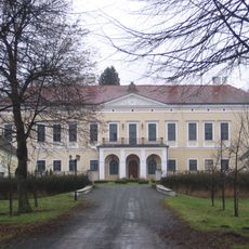
Zámek Brodek u Prostějova
2.5 km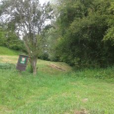
Kopaniny
1.8 km
Blátka
3.8 km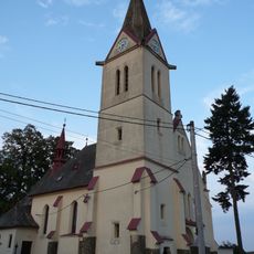
Church of Saints Cyril and Methodius
2.9 km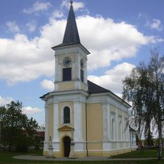
Church of the Nativity of the Virgin Mary
4.4 km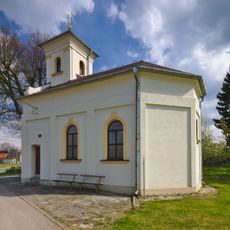
Kaple svatého Floriána
3.8 km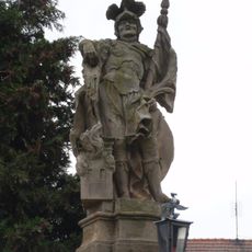
Socha svatého Floriána
4.8 km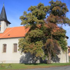
Church of the Annunciation (Myslejovice)
3.9 km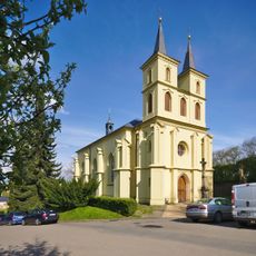
Church of Saint Michael (Otaslavice)
1.9 km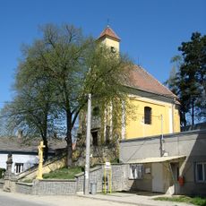
Church of Our Lady of Sorrows
4.7 km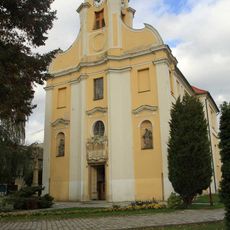
Church of the Exaltation of the Holy Cross
3.1 km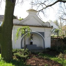
Chapel of Saint John of Nepomuk
4.8 km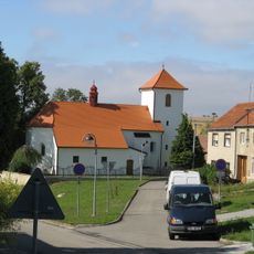
Church of Saint Cunigunde
5 km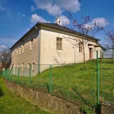
Fara
2 km
Krucifix
3.1 km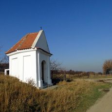
Chapel of Saint Anne near Dětkovice
4.7 km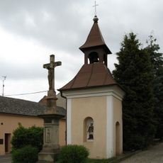
Zvonice
1.6 km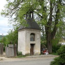
Kaplička se zvonicí
1.3 km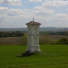
Boží muka
4.9 km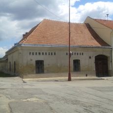
Zájezdní hostinec
4.4 km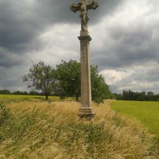
Krucifix
4.1 km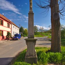
Krucifix
1.4 km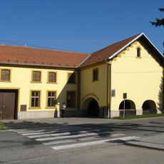
Usedlost čp. 64 se žudrem
3.1 km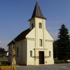
Kaple Blahoslavené Panny Marie
4.4 km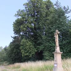
Dobrochovská lípa
3.8 kmDiesen Ort besucht? Tippe auf die Sterne, um ihn zu bewerten und deine Erfahrung oder Fotos mit der Community zu teilen! Jetzt ausprobieren! Sie können jederzeit kündigen.
Entdecke verborgene Schätze auf jedem Abenteuer!
Von charmanten kleinen Cafés bis zu versteckten Aussichtspunkten – entfliehe dem Touristentrubel und finde Orte, die wirklich zu dir passen. Unsere App macht's dir leicht: Sprachsuche, clevere Filter, optimierte Routen und echte Geheimtipps von Reisenden weltweit. Jetzt runterladen und das Abenteuer mobil erleben!

Ein neuer Ansatz für touristische Entdeckungen❞
— Le Figaro
Alle Orte, die eine Entdeckung wert sind❞
— France Info
Ein maßgeschneiderter Ausflug mit nur wenigen Klicks❞
— 20 Minutes