
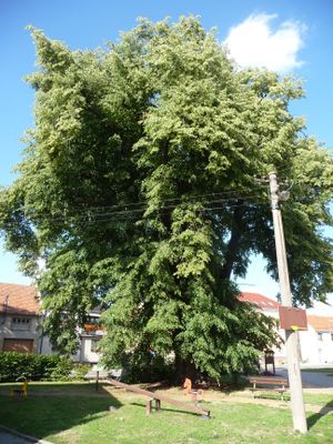
Tilia in Radslavice, memorable tree in Přerov District, Czech Republic
Ort: Radslavice
Höhe: 20 m
GPS Koordinaten: 49.47787,17.51822
Neueste Aktualisierung: 11. März 2025 um 09:28
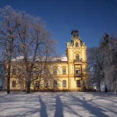
Pavlovice u Přerova Castle
2.9 km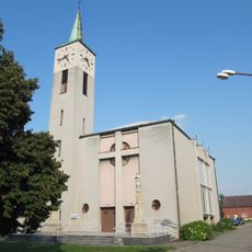
Church of Saint Joseph
105 m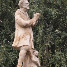
Socha svatého Isidora
2.8 km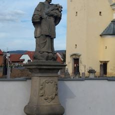
Sochy svatého Tadeáše a svatého Jana Nepomuckého
3.7 km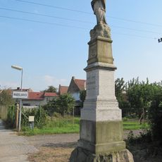
Statue of John of Nepomuk
573 m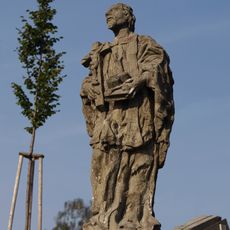
Sochy svatého Jana Nepomuckého a svatého Jana Sarkandra
2.5 km
Sochy svatého Františka Serafinského, svatého Šebestiána a Panny Marie
2.6 km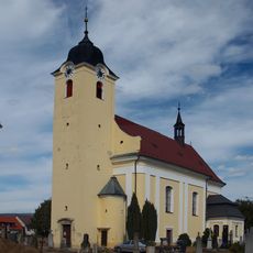
Church of the Exaltation of the Holy Cross
3.8 km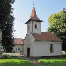
Chapel of Saint John the Baptist
1.5 km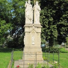
Statue of Saints Cyril and Methodius, Radslavice
223 m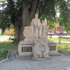
Statue of Tomáš Garrigue Masaryk, Radslavice
7 m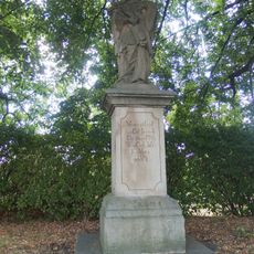
Socha svatého Jana Nepomuckého
2.6 km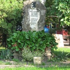
Red Army monument in Radslavice (Přerov)
231 m
Maria Magdaléno kající in Radslavice
123 m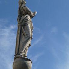
Maria bez poškvrny počatá in Radslavice
112 m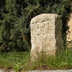
Hraniční kámen
1.5 km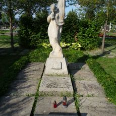
Memorial to Red Army men
751 m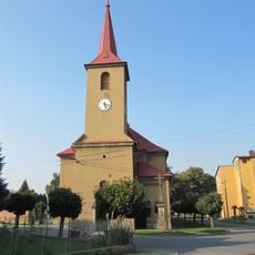
Church of Saint John the Baptist
3.1 km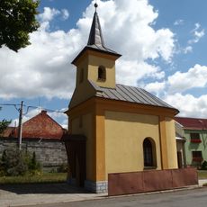
Chapel of Saints Peter and Paul
3.8 km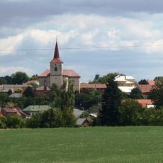
Church of Saint Giles
2.5 km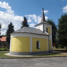
Chapel of Saints Cyril and Methodius
3.7 km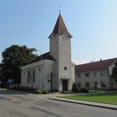
Chapel of the Visitation
1.6 km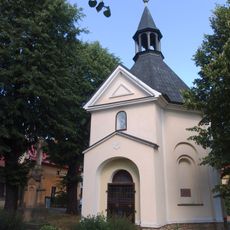
Chapel of Saint Wendelin
2.6 km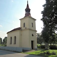
Chapel of Saints Philip and James
2.7 km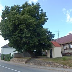
Chapel of Saint Anne
2.7 km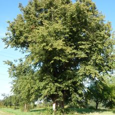
Sušice tilia
1.7 km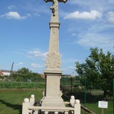
Wayside cross (Radslavice, Přerov)
274 m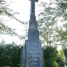
Wayside cross
747 mBewertungen
Diesen Ort besucht? Tippe auf die Sterne, um ihn zu bewerten und deine Erfahrung oder Fotos mit der Community zu teilen! Jetzt ausprobieren! Sie können jederzeit kündigen.
Entdecke verborgene Schätze auf jedem Abenteuer!
Von charmanten kleinen Cafés bis zu versteckten Aussichtspunkten – entfliehe dem Touristentrubel und finde Orte, die wirklich zu dir passen. Unsere App macht's dir leicht: Sprachsuche, clevere Filter, optimierte Routen und echte Geheimtipps von Reisenden weltweit. Jetzt runterladen und das Abenteuer mobil erleben!

Ein neuer Ansatz für touristische Entdeckungen❞
— Le Figaro
Alle Orte, die eine Entdeckung wert sind❞
— France Info
Ein maßgeschneiderter Ausflug mit nur wenigen Klicks❞
— 20 Minutes