
Buk u Rozhraní, memorable tree in Svitavy District, Czech Republic
Ort: Rozhraní
Höhe: 30 m
GPS Koordinaten: 49.60095,16.53894
Neueste Aktualisierung: 17. April 2025 um 23:52
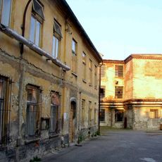
Löw-Beer's factory
3.2 km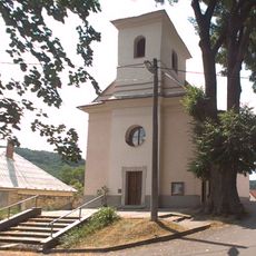
Church of the Exaltation of the Holy Cross
899 m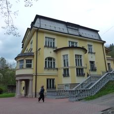
Vila Löw-Beer
2.5 km
Zámek Křetín
5 km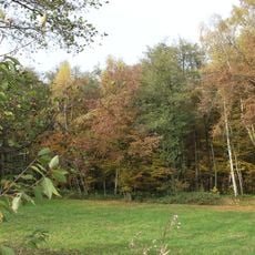
Babolský háj
2.7 km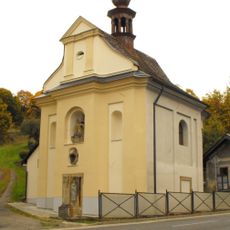
Chapel of Fourteen Holy Helpers
4.3 km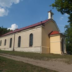
Evangelical church in Moravská Chrastová
3 km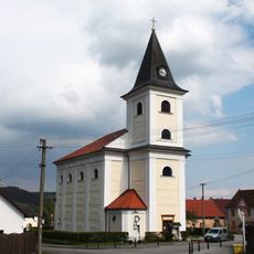
Church of Saint Jerome
5.1 km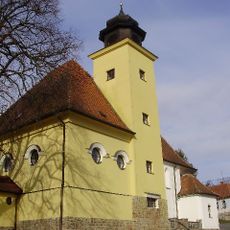
Church of Saint Andrew
4.3 km
Church of Saints Peter and Paul
2.2 km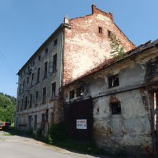
Fritzův mlýn
4.8 km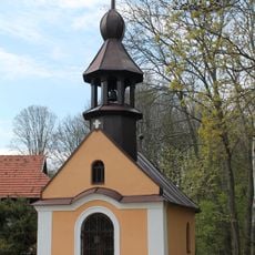
Chapel of the Holy Name of Mary (Prostřední Poříčí)
4.8 km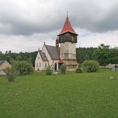
Church of Saint Catherine of Alexandria
5.3 km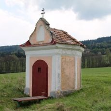
Chapel of Holy Trinity (Horní Poříčí)
4.8 km
Socha svatého Jana Nepomuckého
5.1 km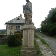
Socha svatého Jana Nepomuckého
5.1 km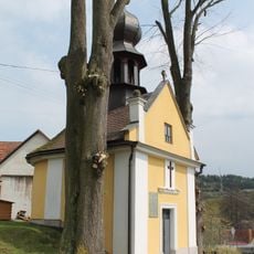
Chapel of the Assumption
4.7 km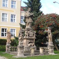
Sculpture of Saint John of Nepomuk with saints
5.2 km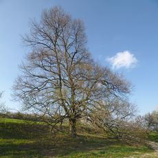
Babolecká lípa
3.4 km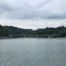
Vn Letovice, most
5.1 km
Moravské náměstí čp. 65
5.1 km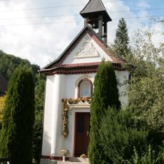
Chapel of Saint Cyril and Methodius
1.9 km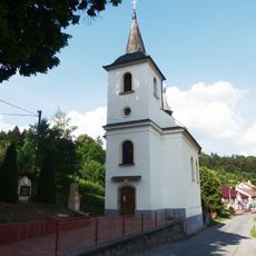
Church of Holy Trinity
3.3 km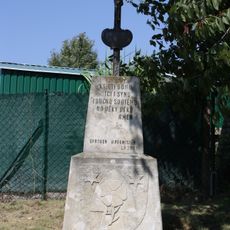
Wayside cross with coat of arms of Horní Smržov
3.6 km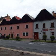
Městský dům
5.1 km
Lípa v Horákově Lhotě
3.9 km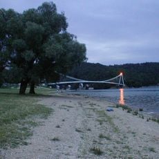
Vn Letovice, Vranova
5 km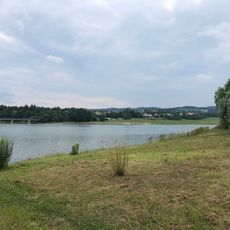
Vn Letovice, Svitavice
4.7 kmBewertungen
Diesen Ort besucht? Tippe auf die Sterne, um ihn zu bewerten und deine Erfahrung oder Fotos mit der Community zu teilen! Jetzt ausprobieren! Sie können jederzeit kündigen.
Entdecke verborgene Schätze auf jedem Abenteuer!
Von charmanten kleinen Cafés bis zu versteckten Aussichtspunkten – entfliehe dem Touristentrubel und finde Orte, die wirklich zu dir passen. Unsere App macht's dir leicht: Sprachsuche, clevere Filter, optimierte Routen und echte Geheimtipps von Reisenden weltweit. Jetzt runterladen und das Abenteuer mobil erleben!

Ein neuer Ansatz für touristische Entdeckungen❞
— Le Figaro
Alle Orte, die eine Entdeckung wert sind❞
— France Info
Ein maßgeschneiderter Ausflug mit nur wenigen Klicks❞
— 20 Minutes