
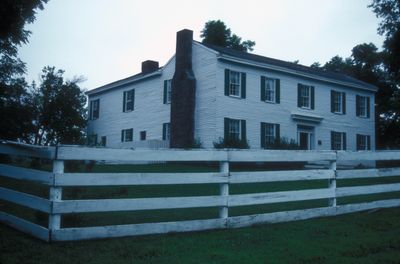
Claybrook House, building in Missouri, United States
Ort: Missouri
GPS Koordinaten: 39.38806,-94.33583
Neueste Aktualisierung: 23. September 2025 um 15:48
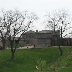
Fort Osage
25.5 km
Kansas City Missouri Temple
23.5 km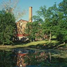
Watkins Woolen Mill State Park and State Historic Site
6.7 km
Liberty Arsenal
21.9 km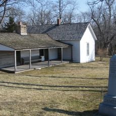
James Brothers' House and Farm
1.4 km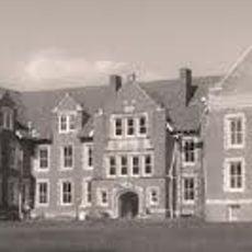
Odd Fellows Home District
18.7 km
Hall of Waters
11.1 km
David L. and Sallie Ann Stoutimore House
21.7 km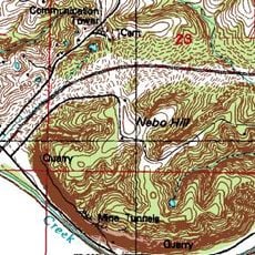
Nebo Hill Archeological Site
19.9 km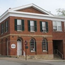
Clay County Savings Association Building
17.2 km
Woodneath
18.8 km
Wyman School
10.4 km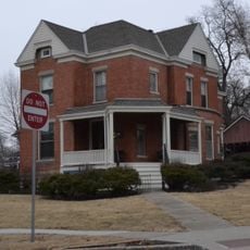
Dougherty–Prospect Heights Historic District
17.4 km
IOOF Liberty Lodge No. 49
17.3 km
Atkins-Johnson Farmhouse Property
25.7 km
Clinton House
17.9 km
Jewell Hall
17 km
South Liberty Courthouse Square Historic District
17.4 km
First Methodist Church
10.8 km
Ligon Apartments
10.9 km
Excelsior Springs Hall of Waters Commercial East Historic District
11 km
Garrison School Historic District
16.6 km
Frank Hughes Memorial Library
17.2 km
Excelsior Springs Hall of Waters Commercial West Historic District
9.9 km
Miller Building
17.3 km
Missouri City Savings Bank Building and Meeting Hall
17 km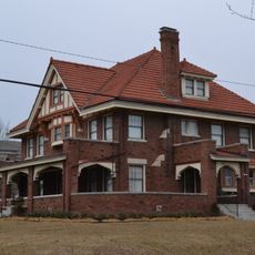
Arthur-Leonard Historic District
17.4 km
Liberty Bend Bridge
25 kmBewertungen
Diesen Ort besucht? Tippe auf die Sterne, um ihn zu bewerten und deine Erfahrung oder Fotos mit der Community zu teilen! Jetzt ausprobieren! Sie können jederzeit kündigen.
Entdecke verborgene Schätze auf jedem Abenteuer!
Von charmanten kleinen Cafés bis zu versteckten Aussichtspunkten – entfliehe dem Touristentrubel und finde Orte, die wirklich zu dir passen. Unsere App macht's dir leicht: Sprachsuche, clevere Filter, optimierte Routen und echte Geheimtipps von Reisenden weltweit. Jetzt runterladen und das Abenteuer mobil erleben!

Ein neuer Ansatz für touristische Entdeckungen❞
— Le Figaro
Alle Orte, die eine Entdeckung wert sind❞
— France Info
Ein maßgeschneiderter Ausflug mit nur wenigen Klicks❞
— 20 Minutes