
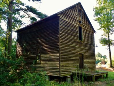
Boyd Mill Place, building in Webster County, Georgia, United States
Ort: Webster County
GPS Koordinaten: 31.96889,-84.54472
Neueste Aktualisierung: 23. September 2025 um 16:09

Providence Canyon State Park
37.2 km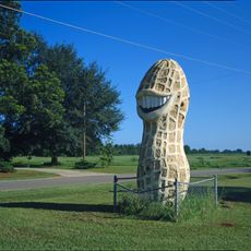
Jimmy Carter Peanut Statue
16.5 km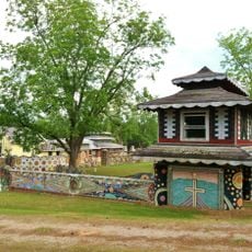
Pasaquan
42.2 km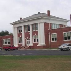
Jimmy Carter National Historical Park
12.4 km
Windsor Hotel
31.5 km
Andersonville National Historic Site
46.6 km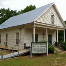
Shiloh-Marion Baptist Church and Cemetery
21.3 km
Fletcher Henderson House
32.9 km
Shellman Historic District
24.3 km
Georgia Rural Telephone Museum
43.2 km
Calvary Episcopal Church (Americus, Georgia)
31.7 km
Lumpkin Commercial Historic District
25.3 km
Lee County Courthouse
44.1 km
Terrell County Courthouse
23.7 km
Richland Historic District
17.5 km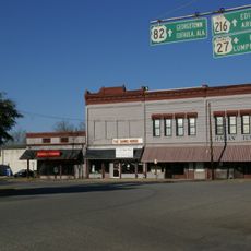
Cuthbert Historic District
31.9 km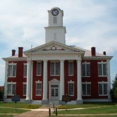
Stewart County Courthouse
25.3 km
Uptown Residential Historic District
25.6 km
Marion County Courthouse
39 km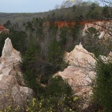
Providence Canyon State Park
36.6 km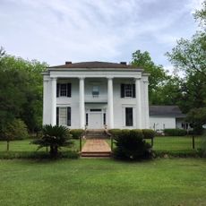
Liberty Hall Plantation
32.1 km
Old Marion County Courthouse
46.9 km
Schley County Courthouse
37.2 km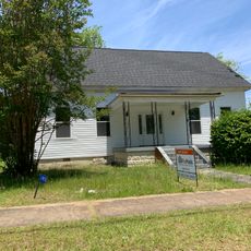
Armstrong House
25.1 km
Webster County Courthouse
10.8 km
Stewart County
30.5 km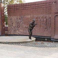
National Prisoner of War Museum
46.9 km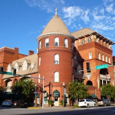
Americus Historic District
31.2 kmBewertungen
Diesen Ort besucht? Tippe auf die Sterne, um ihn zu bewerten und deine Erfahrung oder Fotos mit der Community zu teilen! Jetzt ausprobieren! Sie können jederzeit kündigen.
Entdecke verborgene Schätze auf jedem Abenteuer!
Von charmanten kleinen Cafés bis zu versteckten Aussichtspunkten – entfliehe dem Touristentrubel und finde Orte, die wirklich zu dir passen. Unsere App macht's dir leicht: Sprachsuche, clevere Filter, optimierte Routen und echte Geheimtipps von Reisenden weltweit. Jetzt runterladen und das Abenteuer mobil erleben!

Ein neuer Ansatz für touristische Entdeckungen❞
— Le Figaro
Alle Orte, die eine Entdeckung wert sind❞
— France Info
Ein maßgeschneiderter Ausflug mit nur wenigen Klicks❞
— 20 Minutes