
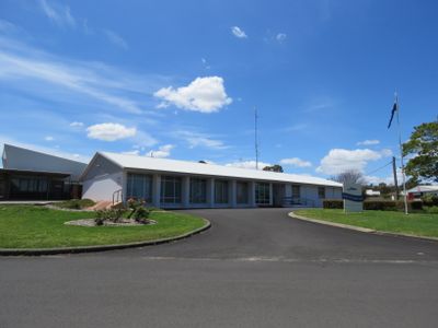
Waroona shire offices, building in Waroona, Western Australia
Ort: Shire of Waroona
GPS Koordinaten: -32.84314,115.92355
Neueste Aktualisierung: 3. März 2025 um 12:11
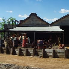
Yarloop Workshops
13.1 km
St Joseph's Church & Cottage
12.4 km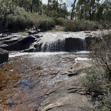
Marrinup Falls
18.2 km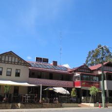
Waroona Hotel
236 m
Hamel Hall
3.4 km
Drakesbrook School (former)
1.1 km
Hamel Nursery
2.8 km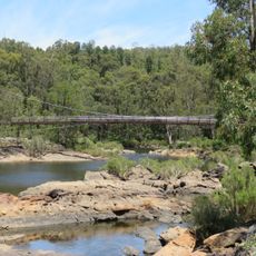
Dwaarlindjirraap Bridge
16.9 km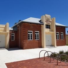
Yarloop Town Hall
12.8 km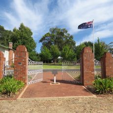
Dwellingup Nursing Post Gates
19.3 km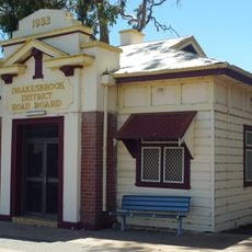
Drakesbrook District Road Board building
222 m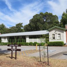
Dwellingup Nursing Post
19.3 km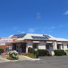
Former Bank of New South Wales, Waroona
229 m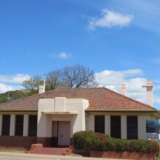
Former Irrigation Office, Waroona
327 m
Baden Powell Campground
17.1 km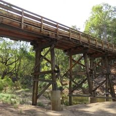
Nanga Road Bridge
16.9 km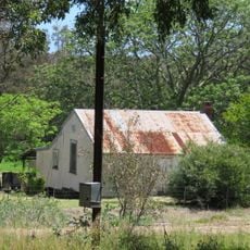
Railway Cottages, Waroona
1.3 km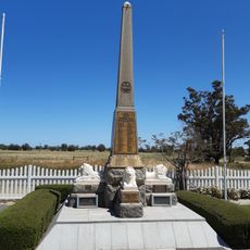
Yarloop War Memorial
13.1 km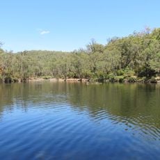
Island Pool, Lane Poole Reserve
18.3 km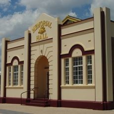
Waroona Memorial Hall
293 m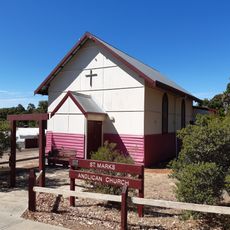
St. Mark's Anglican Church Dwellingup
19.3 km
St. Patrick's Catholic Church, Dwellingup
19.3 km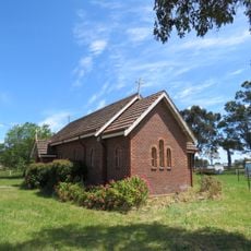
St Mary's Anglican Church, Coolup
12.3 km
Waroona Scout and Guide Hall
415 m
Former Peel Laundry, Waroona
273 m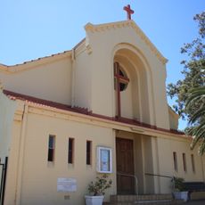
St Patrick's Roman Catholic church, Waroona
200 m
Lake Brockman Tourist Park
18.4 km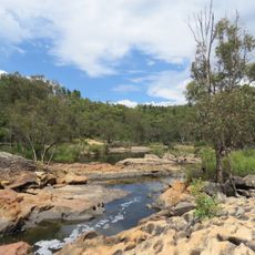
Dwaarlindjirraap Day Use Area
17 kmDiesen Ort besucht? Tippe auf die Sterne, um ihn zu bewerten und deine Erfahrung oder Fotos mit der Community zu teilen! Jetzt ausprobieren! Sie können jederzeit kündigen.
Entdecke verborgene Schätze auf jedem Abenteuer!
Von charmanten kleinen Cafés bis zu versteckten Aussichtspunkten – entfliehe dem Touristentrubel und finde Orte, die wirklich zu dir passen. Unsere App macht's dir leicht: Sprachsuche, clevere Filter, optimierte Routen und echte Geheimtipps von Reisenden weltweit. Jetzt runterladen und das Abenteuer mobil erleben!

Ein neuer Ansatz für touristische Entdeckungen❞
— Le Figaro
Alle Orte, die eine Entdeckung wert sind❞
— France Info
Ein maßgeschneiderter Ausflug mit nur wenigen Klicks❞
— 20 Minutes