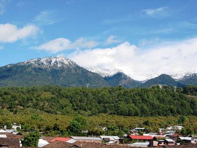
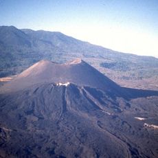
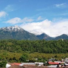
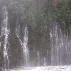
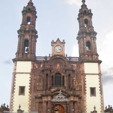
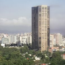
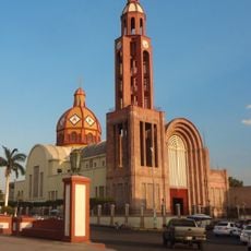
Tancítaro, Kleinstadt im mexikanischen Bundesstaat Michoacán
Ort: Municipality of Tancítaro
Gründung: 1531
Höhe über dem Meer: 2.062 m
Website: http://ayuntamientotancitaro.gob.mx/portal2021
GPS Koordinaten: 19.33780,-102.36300
Neueste Aktualisierung: 3. März 2025 um 04:10
Paricutín
20.9 km
Cathedral of Our Lady of Guadalupe
72.4 km
Lago de Camécuaro National Park
64.9 km
Monument to Morelos on Janitzio Island
79.1 km
El Opeño
66.6 km
Pico de Tancítaro
9.9 km
Nationalpark Barranca del Cupatitzio
32.3 km
Presidente InterContinental Hotel
72.4 km
Edificio Reforma 222 Torre 1
72.4 km
Salto La Tzaráracua
29.9 km
Torre MAPFRE
72.4 km
Hyatt Regency Mexico City
72.4 km
Immaculate Conception Cathedral, Zamora de Hidalgo
72.4 km
Torre Lomas
72.4 km
Torre Mural
72.4 km
Reforma 115
72.4 km
Panorama Santa Fe
72.4 km
H2o Santa Fe building
72.4 km
Immaculate Conception Cathedral, Apatzingán
28 km
Punzo family
76.3 km
Mansión del Cupatitzio
32 km
Edificio Punta Poniente
72.4 km
Paragon Santa Fe
72.4 km
Edificio Reforma 90
72.4 km
Punta del Parque Torres A y B
72.4 km
Santiago Apóstol Temple
43 km
Puente del Diablo, Buenavista
22.7 km
Church of San Juan Parangaricutiro
24.9 kmBewertungen
Diesen Ort besucht? Tippe auf die Sterne, um ihn zu bewerten und deine Erfahrung oder Fotos mit der Community zu teilen! Jetzt ausprobieren! Sie können jederzeit kündigen.
Entdecke verborgene Schätze auf jedem Abenteuer!
Von charmanten kleinen Cafés bis zu versteckten Aussichtspunkten – entfliehe dem Touristentrubel und finde Orte, die wirklich zu dir passen. Unsere App macht's dir leicht: Sprachsuche, clevere Filter, optimierte Routen und echte Geheimtipps von Reisenden weltweit. Jetzt runterladen und das Abenteuer mobil erleben!
Ein neuer Ansatz für touristische Entdeckungen❞
— Le Figaro
Alle Orte, die eine Entdeckung wert sind❞
— France Info
Ein maßgeschneiderter Ausflug mit nur wenigen Klicks❞
— 20 Minutes