
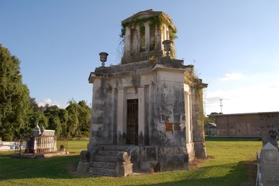
Landry Tomb, historic place
Ort: Donaldsonville
Gründung: 1845
Architekten: James H. Dakin
Architekturstil: Neoclassical architecture
GPS Koordinaten: 30.09920,-90.98580
Neueste Aktualisierung: 23. September 2025 um 15:19
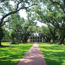
Oak Alley Plantation
22.8 km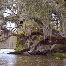
Bayou Corne sinkhole
18.1 km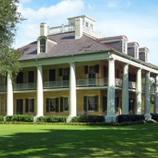
The Houmas
6.8 km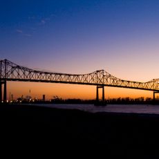
Sunshine Bridge
7.1 km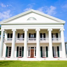
Madewood Plantation House
19.3 km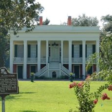
Bocage Plantation
4 km
Ashland Plantation
8.7 km
St. Joseph Plantation
23 km
Carville Historic District
17.4 km
Belle Alliance Plantation
6.7 km
Evan Hall
6 km
St. Gabriel Roman Catholic Church
20.6 km
Laura Plantation
27.1 km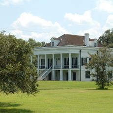
St. Emma Plantation
4.6 km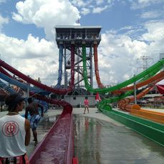
Blue Bayou Water Park
27.6 km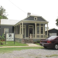
River Road African American Museum
480 m
Palo Alto Plantation
4.5 km
Tally-Ho Plantation House
21.7 km
St. Elizabeth Catholic Church
13.6 km
St. Anne Catholic Church
18.4 km
Robert Penn Warren House
23.3 km
Church of the Assumption of the Blessed Virgin Mary
12.7 km
Mulberry Grove
11.5 km
Mather House
20.2 km
Christ Episcopal Church and Cemetery
18 km
St. John Baptist Church
18.9 km
LaBarre House
19.3 km
Graugnard Farms Plantation
18.5 kmDiesen Ort besucht? Tippe auf die Sterne, um ihn zu bewerten und deine Erfahrung oder Fotos mit der Community zu teilen! Jetzt ausprobieren! Sie können jederzeit kündigen.
Entdecke verborgene Schätze auf jedem Abenteuer!
Von charmanten kleinen Cafés bis zu versteckten Aussichtspunkten – entfliehe dem Touristentrubel und finde Orte, die wirklich zu dir passen. Unsere App macht's dir leicht: Sprachsuche, clevere Filter, optimierte Routen und echte Geheimtipps von Reisenden weltweit. Jetzt runterladen und das Abenteuer mobil erleben!

Ein neuer Ansatz für touristische Entdeckungen❞
— Le Figaro
Alle Orte, die eine Entdeckung wert sind❞
— France Info
Ein maßgeschneiderter Ausflug mit nur wenigen Klicks❞
— 20 Minutes